Further north than we have ever travelled
Vancouver Island has no shortage of unique landscapes and topography. Since leaving Victoria, we’ve spent a lot of time along the south-western coast while exploring the low mountains slightly inland. The last couple weeks, we’ve switched gears a little and explored the rugged alpine peaks of the central Island. Our mission for this Van Isle tour is to visit many of the special places we’ve heard great things about but haven’t had the opportunity to experience yet. We crossed some highlights off the list recently.
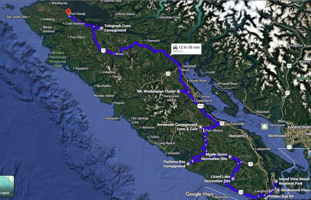
July 15 – We drove from Pachena Bay to Port Alberni. It was a hilly but really nice drive on a smooth chip-seal logging road (The Bamfield Main road was recently redone following several severe incidents and the local First Nations are advocating for it to be provincially designated, which would further increase safety requirements). Near Port Alberni, we drove through the massive Mount Underwood Wildfire area, which burned over 3,500 hectares in 2025 and closed the road to Bamfield, cutting off power and supplies for weeks. Driving along the newly repaired road and seeing the charred hillsides was daunting. Thankfully, so far, the 2026 fire season on the Island has been relatively quiet; though the interior of BC has many large wildfires with extensive evacuation orders in place, and of course, we’re thinking about the craziness in Northern Ontario right now.
After leaving the temperate coast, the air was quite different in Port Alberni. The temperature almost doubled from the morning to the afternoon. Fortunately, we got a campsite in the shade at Arrowvale Campground, which sits on Collins Farm. Unbeknownst to Cody when he made the reservation, this campground is owned by farm writer and book author Bob Collins, who I know through the Country Life in B.C. publication. Our site was right on Somass River, which was perfect for afternoon dips, provided you didn’t let the current pull you downstream too far.
July 16 – With rain in the forecast, we drove to one of the local the mountain bike trailheads bright and early. We’d ridden in Port Alberni before for an Island Cup XC race at the Maquinna trail network but had yet to experience the larger mountain network of Coombs Candy (aptly named as the famous Coombs Country Candy store sits beside the trailhead). We climbed up a steep gravel access road to the “blue” trails (trails are often rated as green, blue and black, representing beginner, intermediate and expert levels, respectively). Well, these trails were blue with a whole lot of spice! Thankfully the descents were not too long, because I was not adept to handle the technical sections. Somehow Cody was fast enough to ride ahead, stop, and run back to warn me of any tricky sections before I arrived. With some coaching and repeated attempts, I made it over a few of the less spicy features. We then climbed to the Port Alberni lookout and did a few more laps before heading to the candy store. This shop had all the recovery foods anyone can ever need – chocolate, sugar and candied popcorn. It did eventually start raining in the afternoon, so I worked and Cody installed a water filtration system in the trailer.
July 17 – We woke up to a misty drizzle but had already planned to hike the 5040 Peak.
This is one of the more popular hikes to do on Vancouver Island, so we figured we need to see what the hype was all about. With an estimated seven hour round trip, we made sure to give ourselves lots of time and got onto Highway 4 towards the trailhead in good time. The forest road towards the trailhead was in surprisingly good shape and we drove about 10k up to where we could park.
With 900m of elevation gain in only 3.2km, this hike was no joke! The sheer traffic on this trail added to its technicality. With the original surface long eroded away, it was straight up through rock faces and tree roots all tangled together to resemble giant spider webs on the side of a mountain.
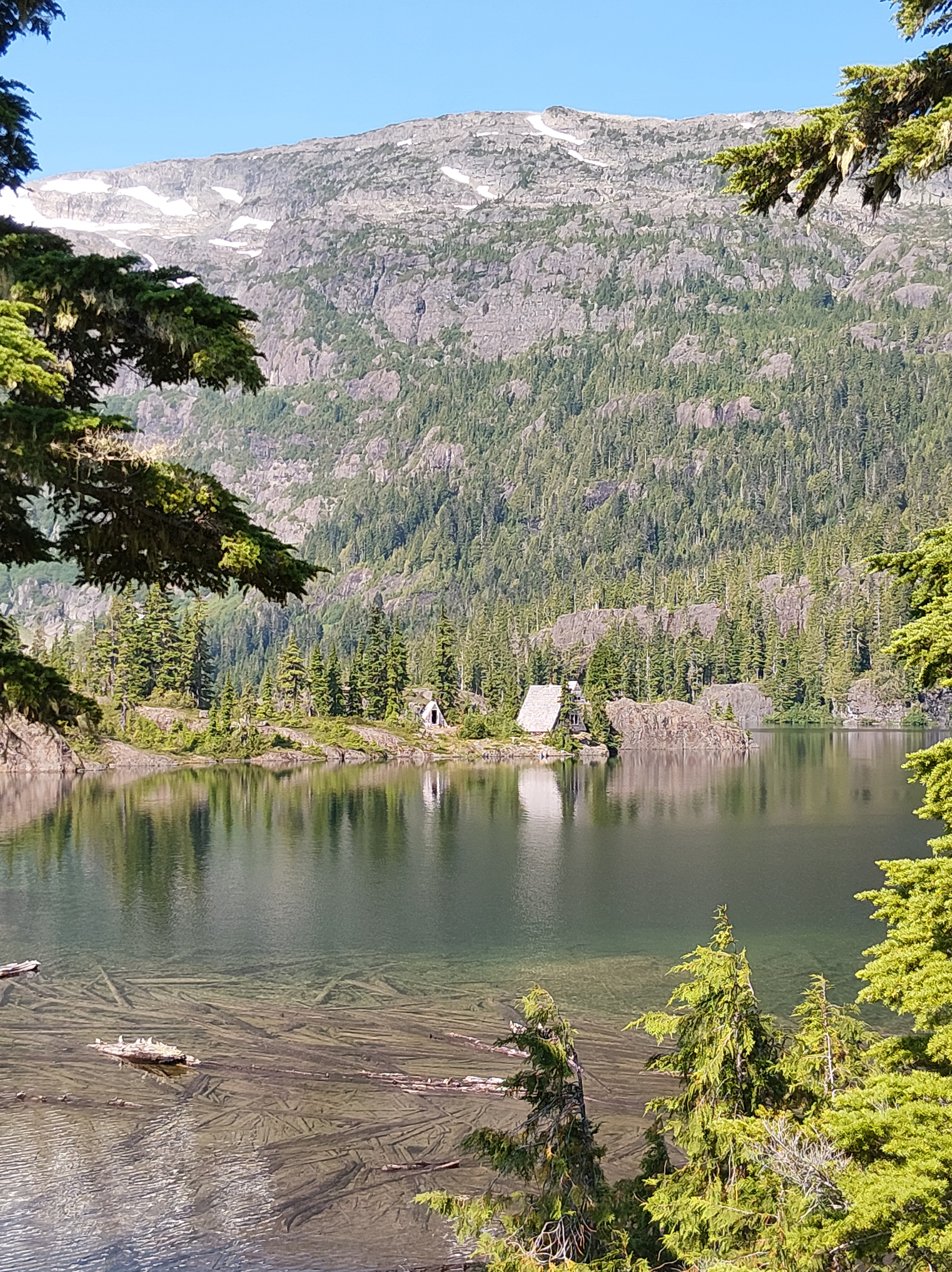
After about 2k, we reached Cobalt Lake … we think. We couldn’t really see much because the clouds were so thick. Thankfully, it wasn’t raining and the temperature was quite warm (though very humid!). After briefly exploring the shrouded campsites and the cabin at the lake, we made a push for the summit. We hoped that as time went on the clouds would clear and the sun would come out. The sun tried to peak through but alas, the top remained a sea of white clouds. With a grave fear of heights, I’m not sure if it was better or worse to not see what appeared below!
We stopped for lunch at the tippy top and then headed back down. We didn’t expect to see many people on such a wet and socked in day, but to our surprise, we passed many groups heading to Cobalt Lake to camp. Apparently, on nice weekends, the trail can become clogged with hikers travelling in both directions – Vancouver Island’s version of modern Everest.
While a calf burner on the way up and a quad burner on the way down, the trail was arguably more gnarly on the way down. As more people passed through the trail, the muddier it got. By the time we were descending, the roots and rocks were covered with a slick layer of mud to add another challenge to an already challenging hike! But we made it back to the truck after about five hours, drove back to the campsite and made some tasty nachos!
July 18 – We had grandiose plans to hike Mt Arrowsmith, the towering peak that you can see from everywhere in Port Alberni. But after yesterday’s big effort and another day of clouds, we decided to have a slow Saturday morning.
The sun came out in the afternoon, though the Arrowsmith peak was still shrouded, so we took the mountain bikes to a different section of the Coombs Candy trail network.
On the way, we passed an old dairy farm with an elderly gentleman in blue coveralls working on equipment in the yard. He had at least five old Ford tractors that likely now sit parked most of the time. We waved as we drove by and if I’d had an ounce more courage, we would have wheeled in to chat with the guy!
Once on the trails, we rode up some nice single tracks. We then crossed through an area of clearcut where the trail disappeared and when we got to the top, we discovered these trails had not been ridden in a long time. To our surprise and dismay, sharp brambles had moved in to encroach on the only line we could pass through on the trail.
Due to the general overgrownness and some scary rock rolls, I spent most of the descent hiking my bike. Cody was able to ride a lot of it despite being attacked by blackberry vines and halted by downed trees. By the time we got back to the trailer, covered in dirt, sweat and scrapes, we yearned for a river soak! The water was cool and the current was strong, making for a perfect end to the day.
July 19 – We had another sleepy morning on the day we were supposed to be up and going to drive to Mount Washington. We were getting packed up when Bob Collin’s stopped by for a visit. We had wanted to catch up while we were there but due to limited timing, now is when worked! He kindly took me for a farm tour on the Kubota. We went along the river trail for a bit and then rode through the cattle pastures. I was able to see his beautiful Belted Galloway herd, which included Knox the friendly bull, quiet cows and curious calves. Bob’s wife Ann showed me her horses, who were also very sweet, including June the 27-year-old purebred Canadian, a heritage breed. We had a lovely time at Arrowvale! If you’re looking for a place with all the amenities, we’d highly recommend this spot. Kids will have lots to do, and during the summer, the café hosts live music on select weekends.
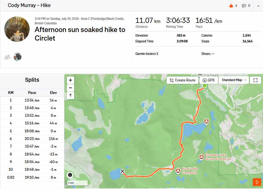
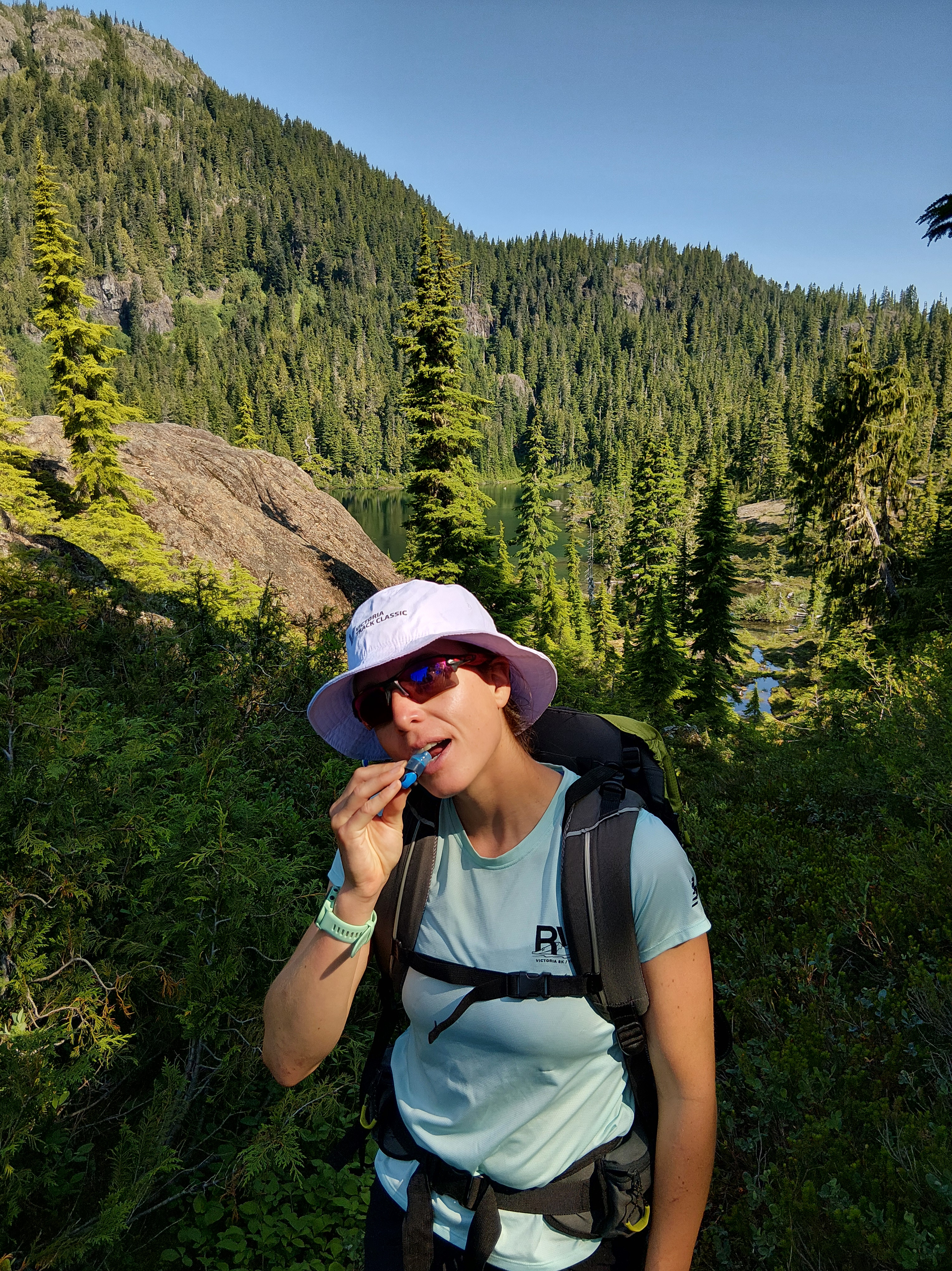
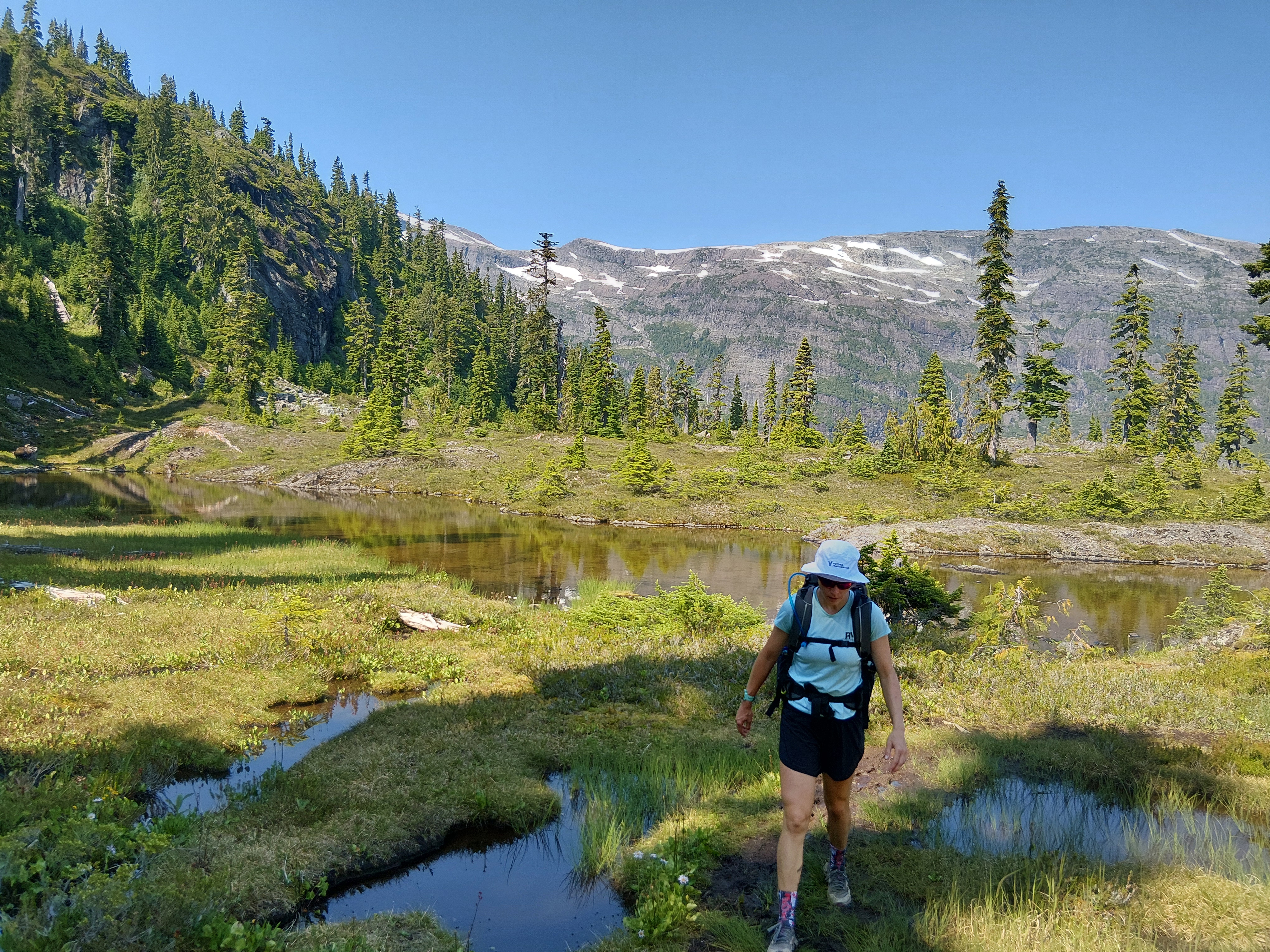
By late morning, we set off for Mt Washington via the slower but way more scenic route – Old Island Highway (19A). We eventually turned onto the Strathcona Parkway with a bit of unease as we had a full water tank and heavy trailer. Cody had done this drive many times, but he and Bobby (our truck) had only previously done this climb unloaded. This was the truck’s first mountain test while towing and the first of three major pitches is the steepest of the 20k climb. The transmission temperature immediately jumped and grinded it out in second gear. We slowed down a bit through the plateau and the next big climb. It was slow going but the temperature remained much more stable – phew. One more big climb to go to the top! Bobby ran a little warm but got the job done! We parked by the Hawk chair with all the downhill mountain bikers, though we had other plans for the afternoon. We packed our trip camping gear and headed into Strathcona Provincial Park, BC’s oldest park. We had an 11k journey to the Circlet Lake campsite with our packs, but thankfully the trail was relatively tame, especially compared to our other recent hikes! We passed through beautiful meadows, ponds, creeks and lakes. And our later departure meant that we had gorgeous lighting for our walk through this ethereal landscape! We got set up along Circlet Lake and I experienced my first dehydrated dinner! Happy Yak, a Canadian company, had awesome flavours! And just before dark, we saw a bald eagle take flight from its perch beside the lake and soar in front of the fading sun above the mountain meadow… an image that will be burned in our memories forever.
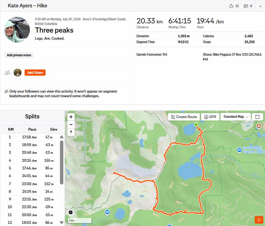
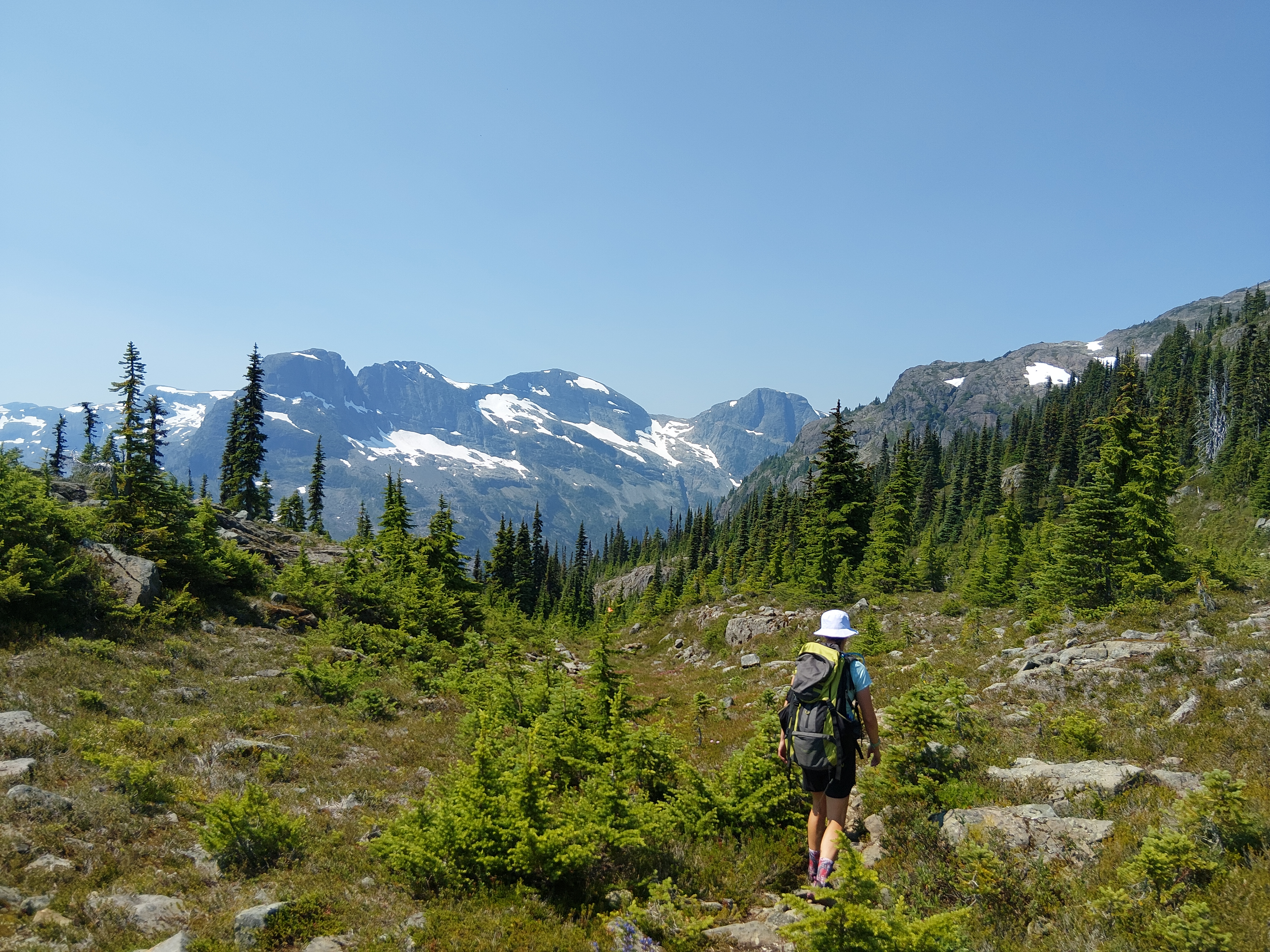
July 20 – The Three Peaks day! We set out at around 9:30 a.m. for our big day of hiking – though at the time, I did not know just how big it would be… I think Cody was giddy and smitten the whole time, but my day had a few more peaks and valleys! On paper, the route was about 16k with 1,500m of elevation gain. We started out with the excitement of the day and getting to climb a mountain on a clear sunny day! The rolling terrain and open meadows around Moat Lake were beautiful and made us want to build a little log cabin and stay forever.
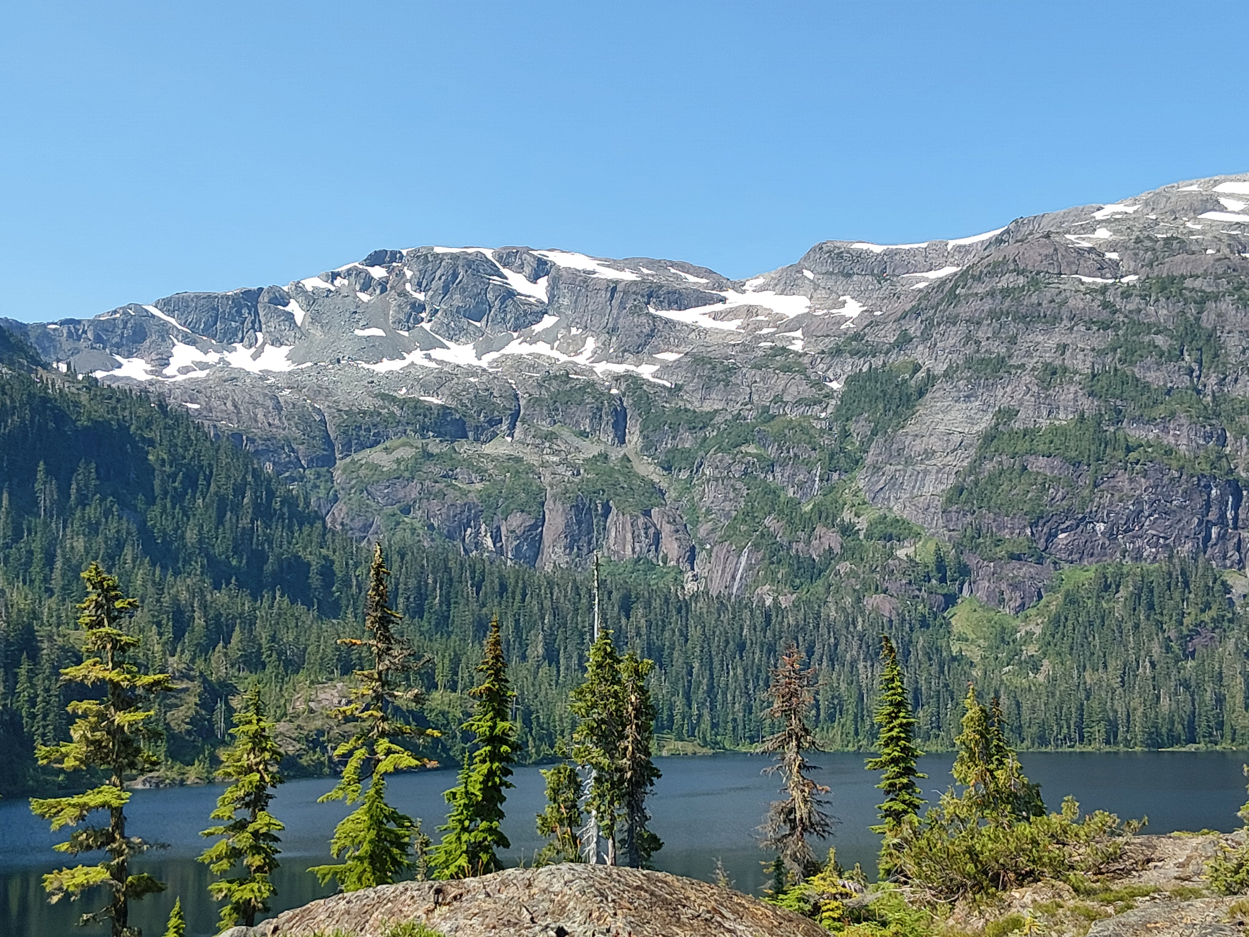
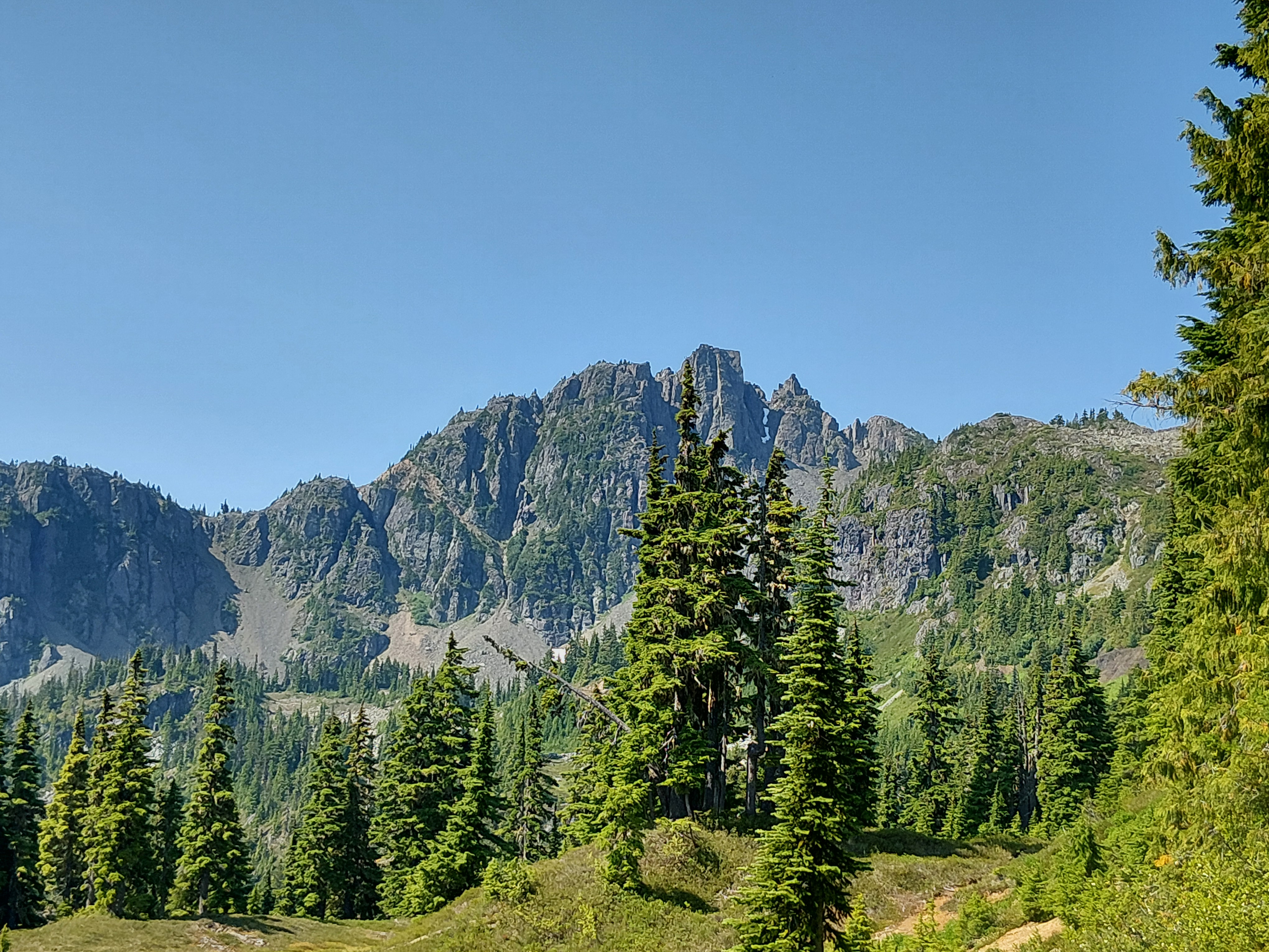
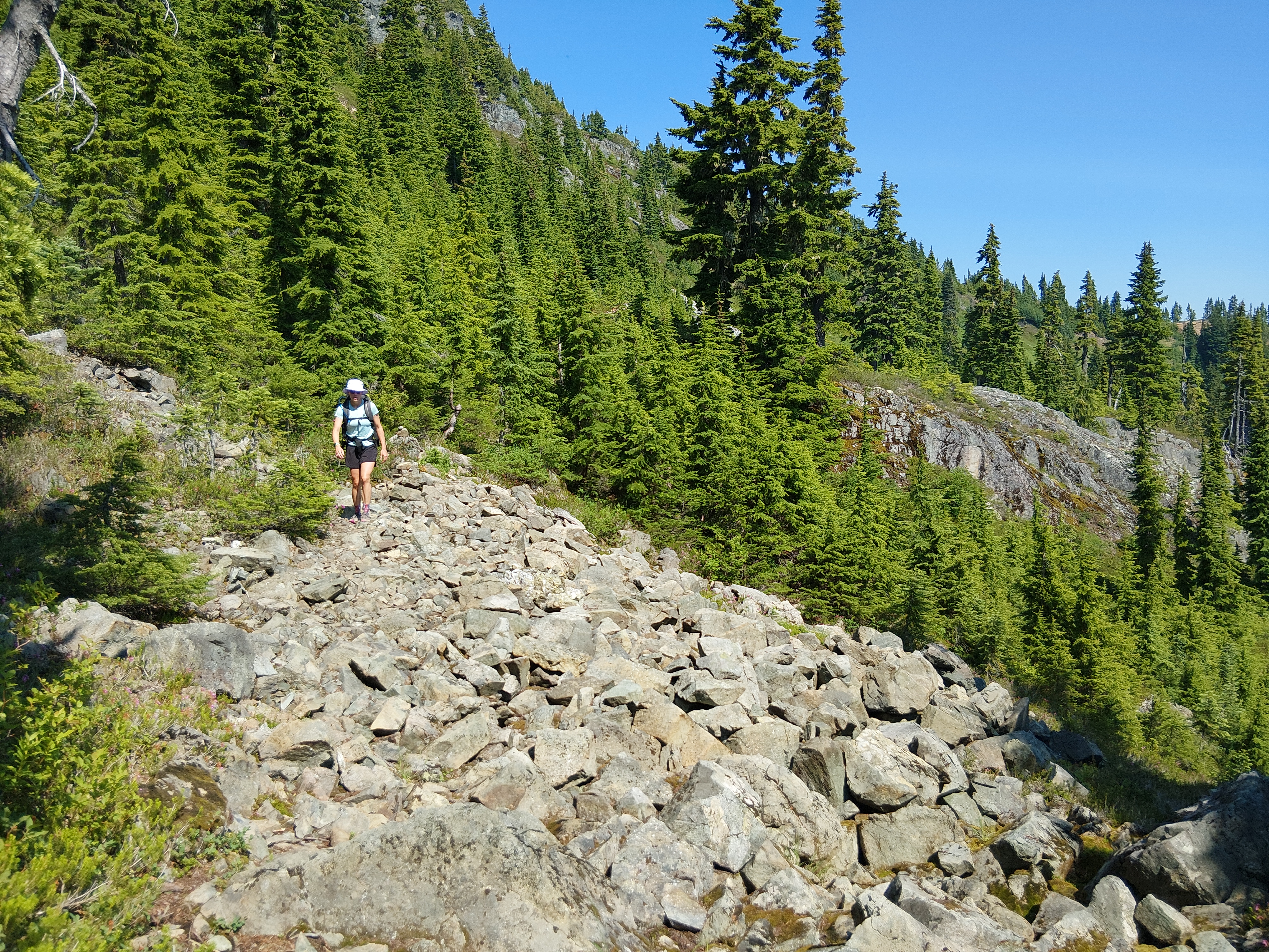
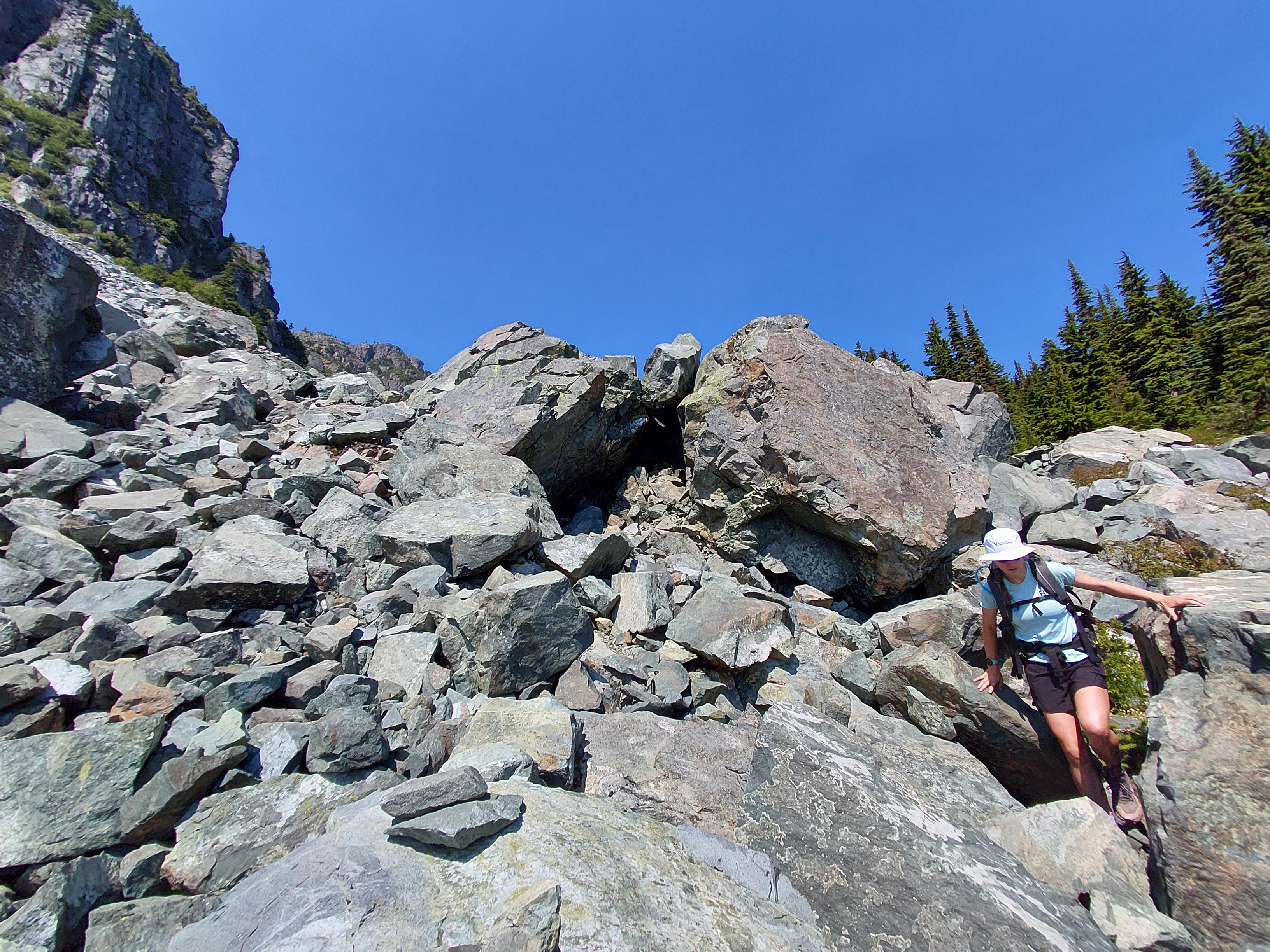
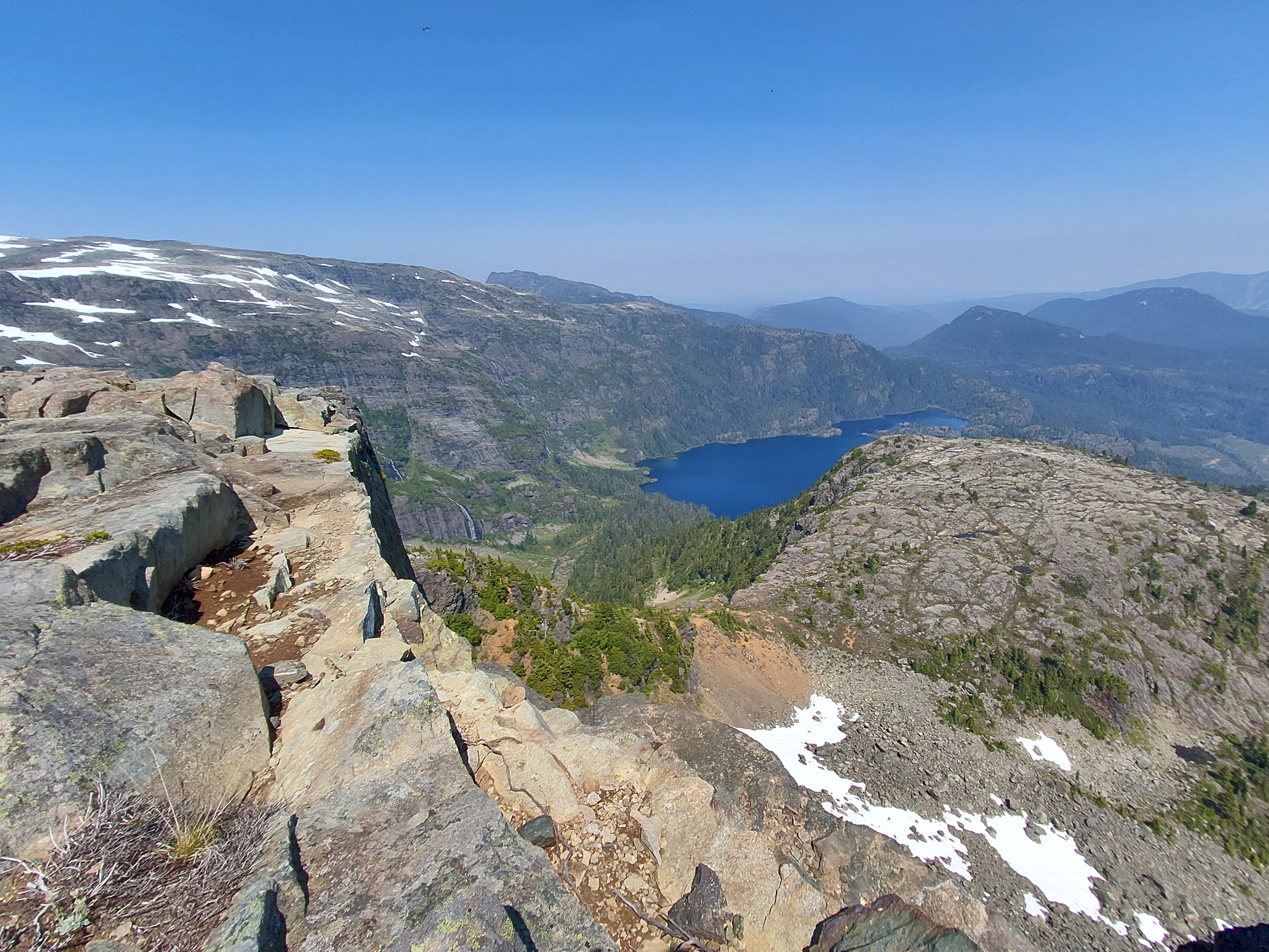
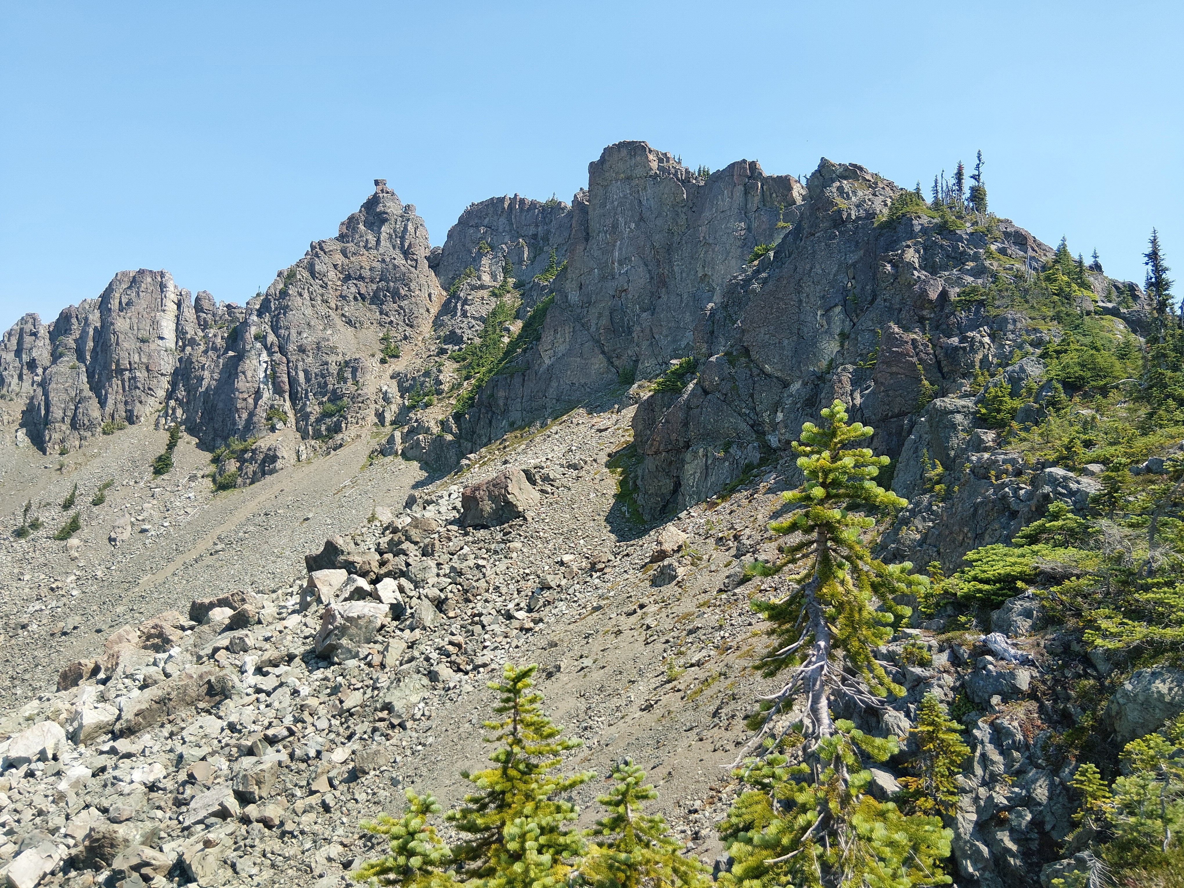
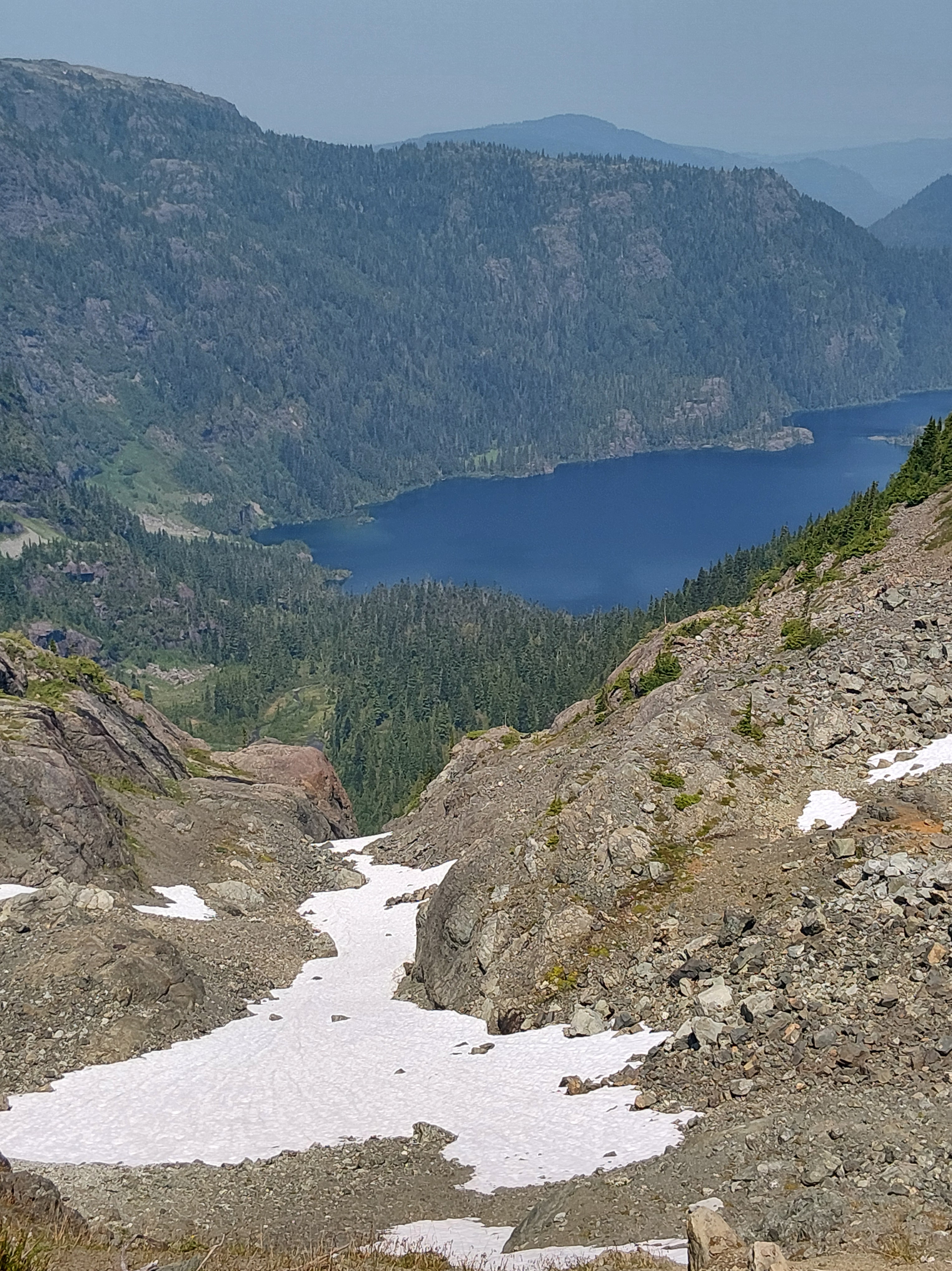
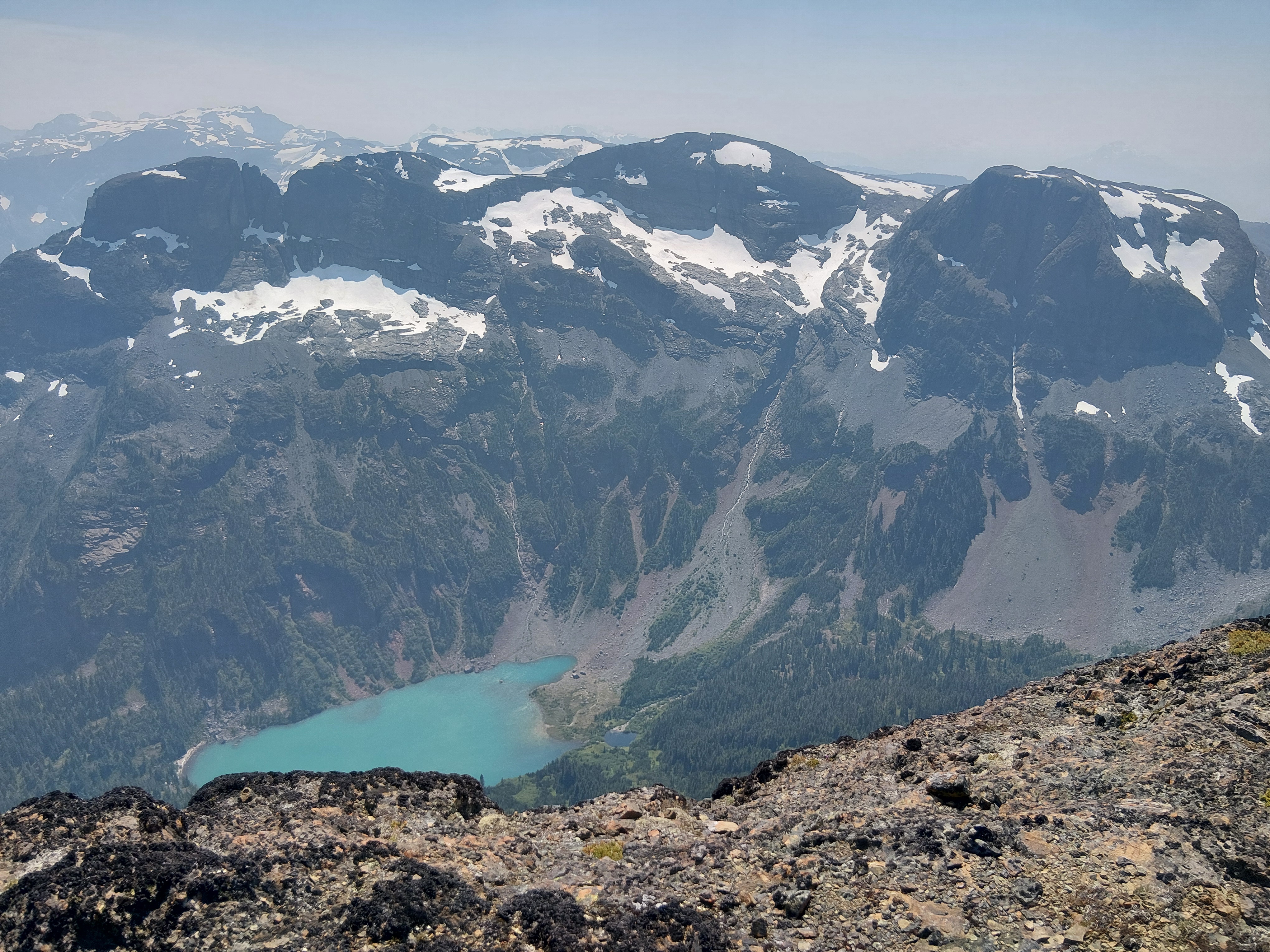
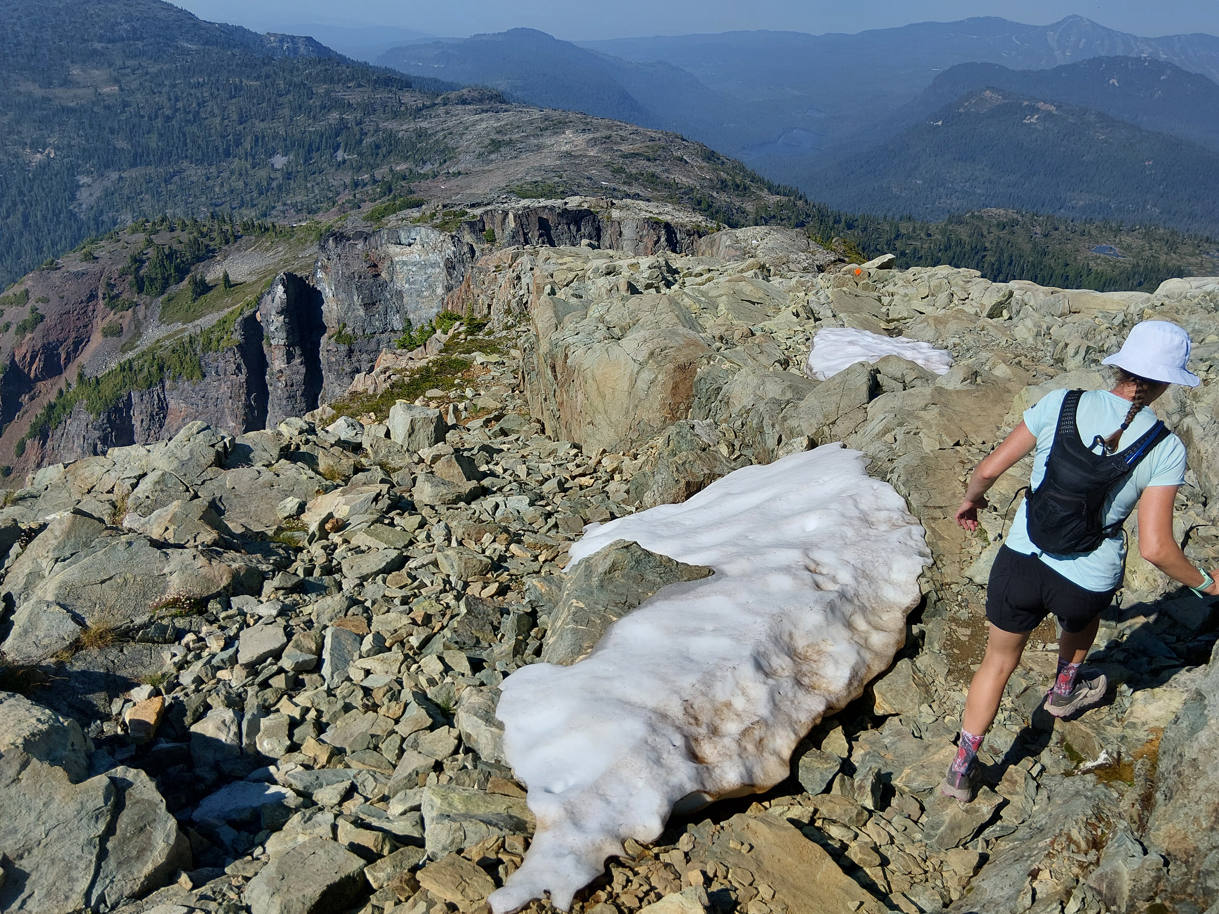
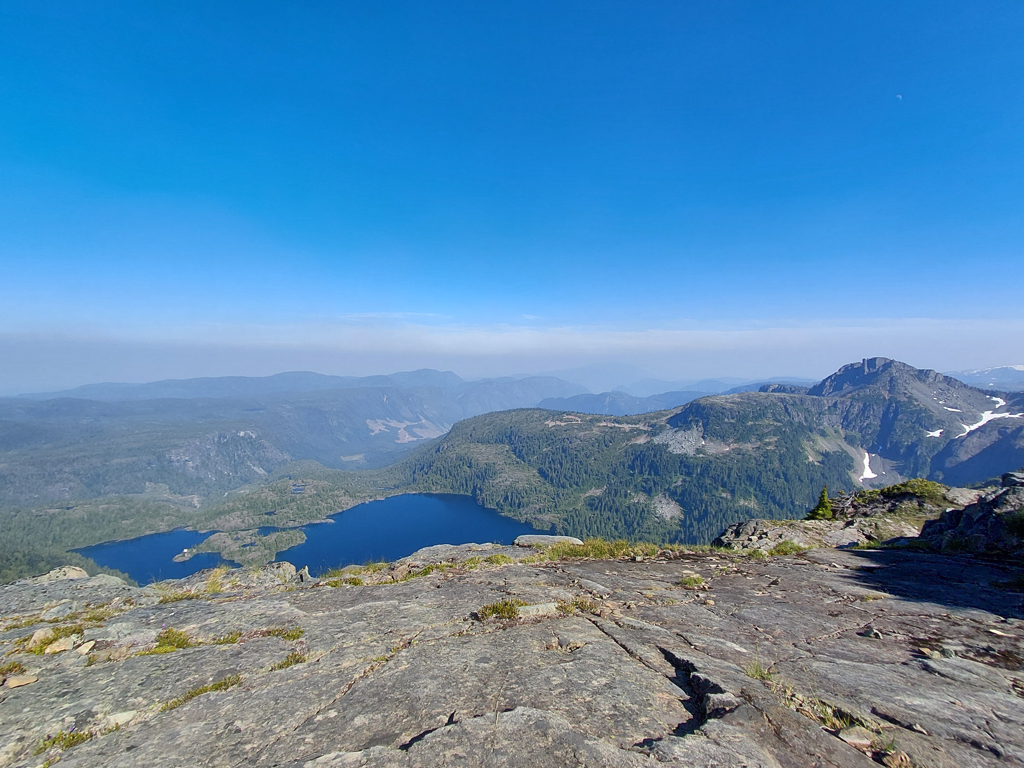
That excitement carried me through to lunch when we summited our first peak – Castlecrag Mountain. We had seen this peak in the far-off distance during our hike in the day before, thinking it was insurmountable. But now, here we were – on top of this jagged broken rock, having climbed up the backside. After some sandwiches, candy and Cody’s stomach-dropping view from the very top, we ambled back down and set off for the next peak. The route crossed multiple boulder fields, which I learned are not much fun (depending on who you ask as Cody “Mountain Goat” Murray didn’t seem phased by them). They make route finding rather difficult, with the only trail markers being piles of rocks on top of rocks… But we eventually made it to Mount Frink, a plateau-like mesa. From here we could see down into some pristine blue alpine lakes, fed by the still present snow patches covering the mountain sides.
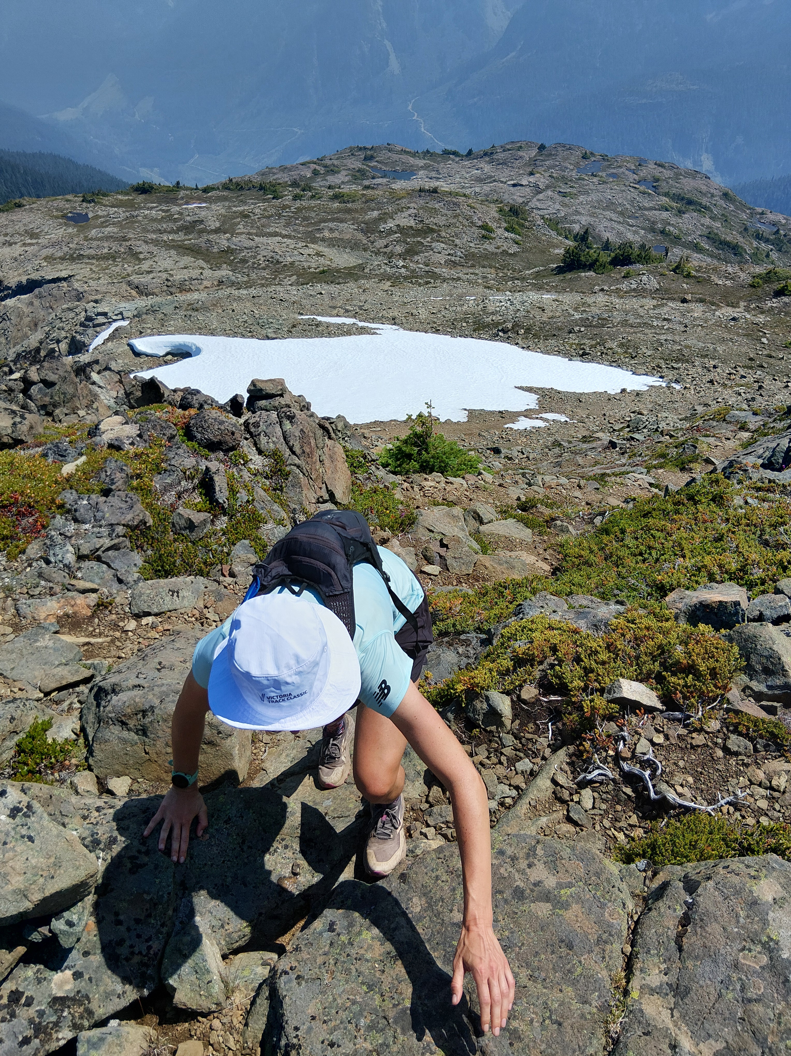
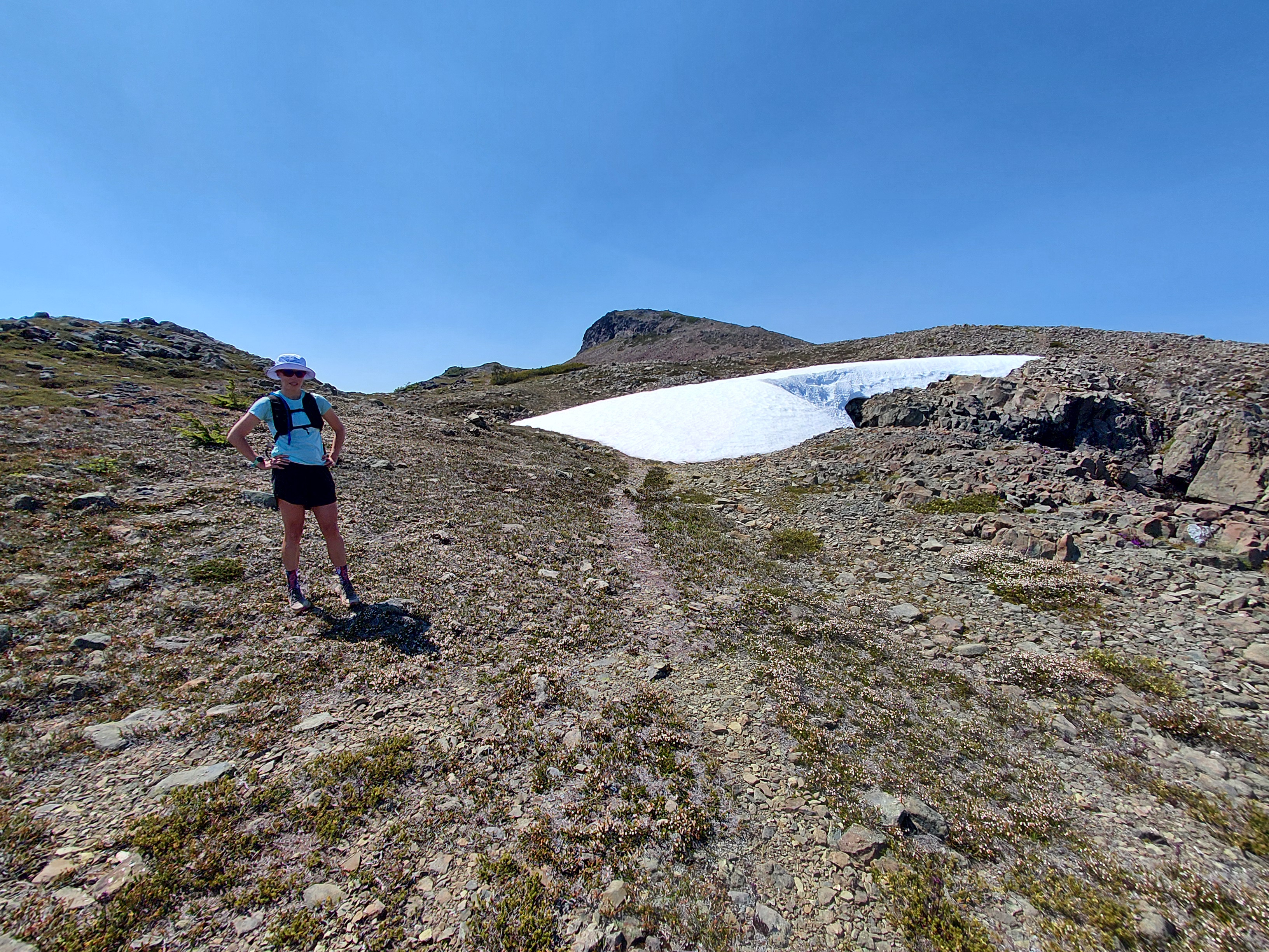
We once again slowly started heading uphill and my day was quickly heading downhill. After covering dirt, boulders, bogs, shale, root beds, granite slabs, alpine meadows, rocky outcrops, exposed ridges and snow, we were still a seemingly long ways from our main goal – Mount Albert Edward.
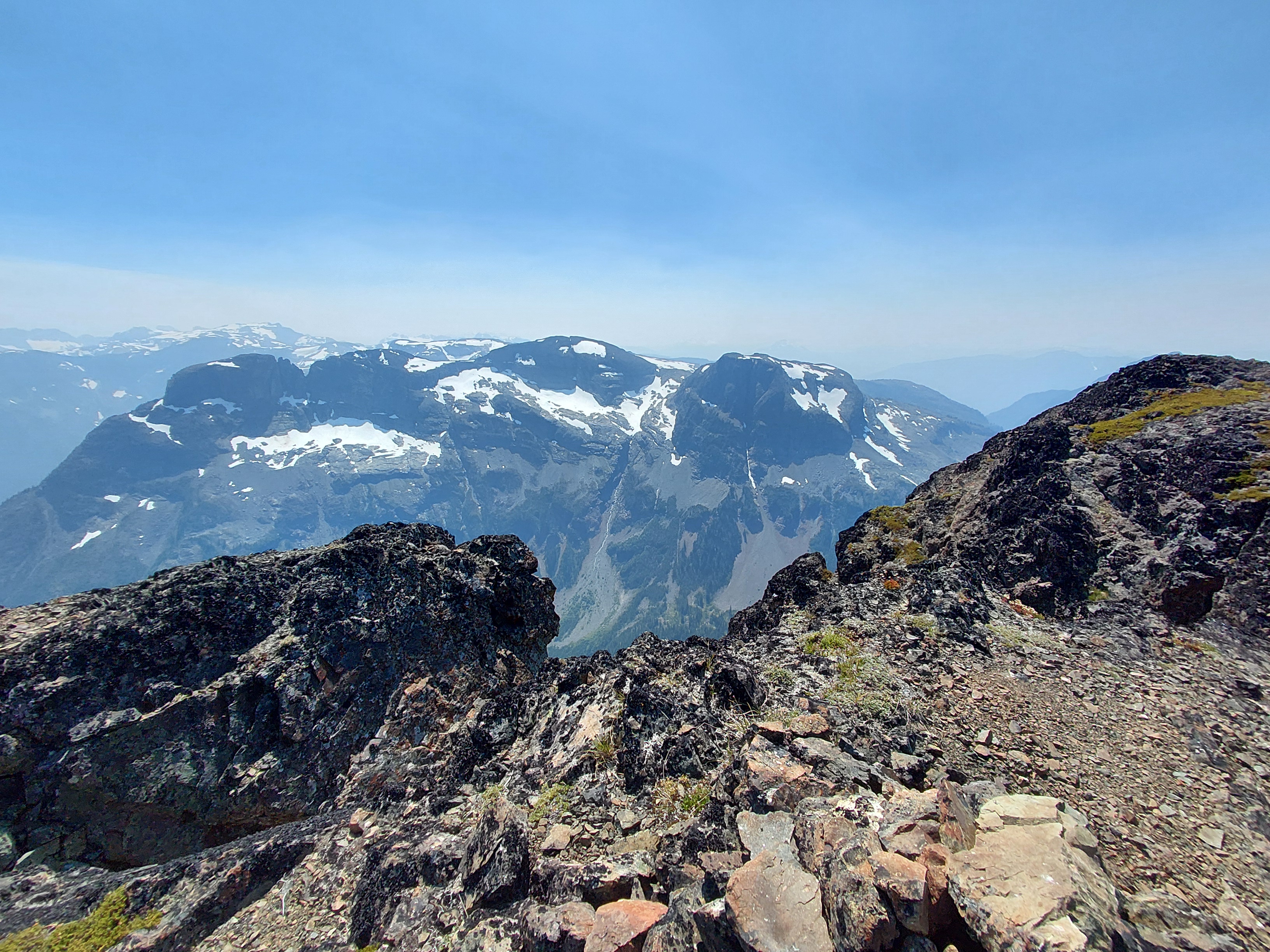
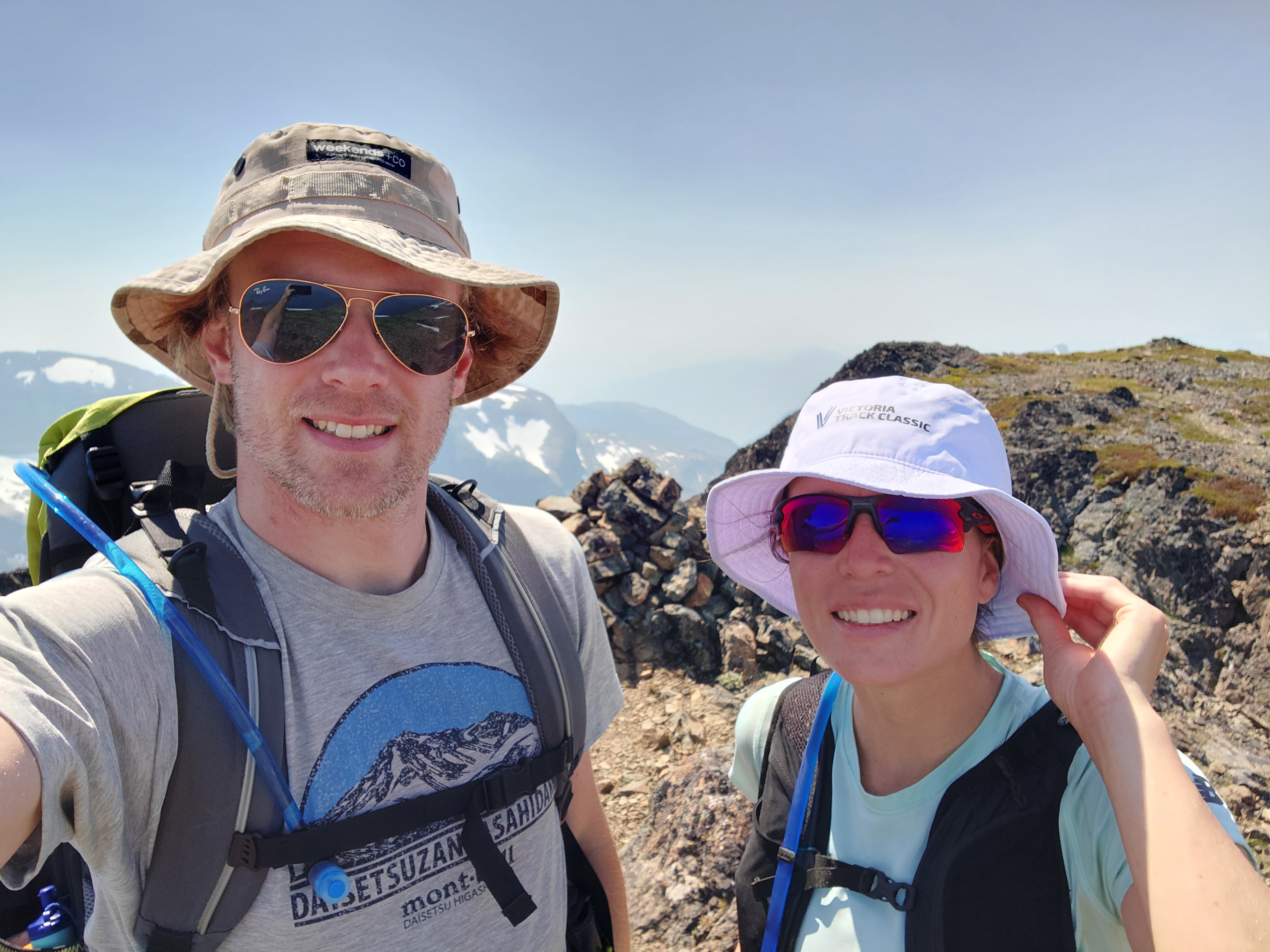
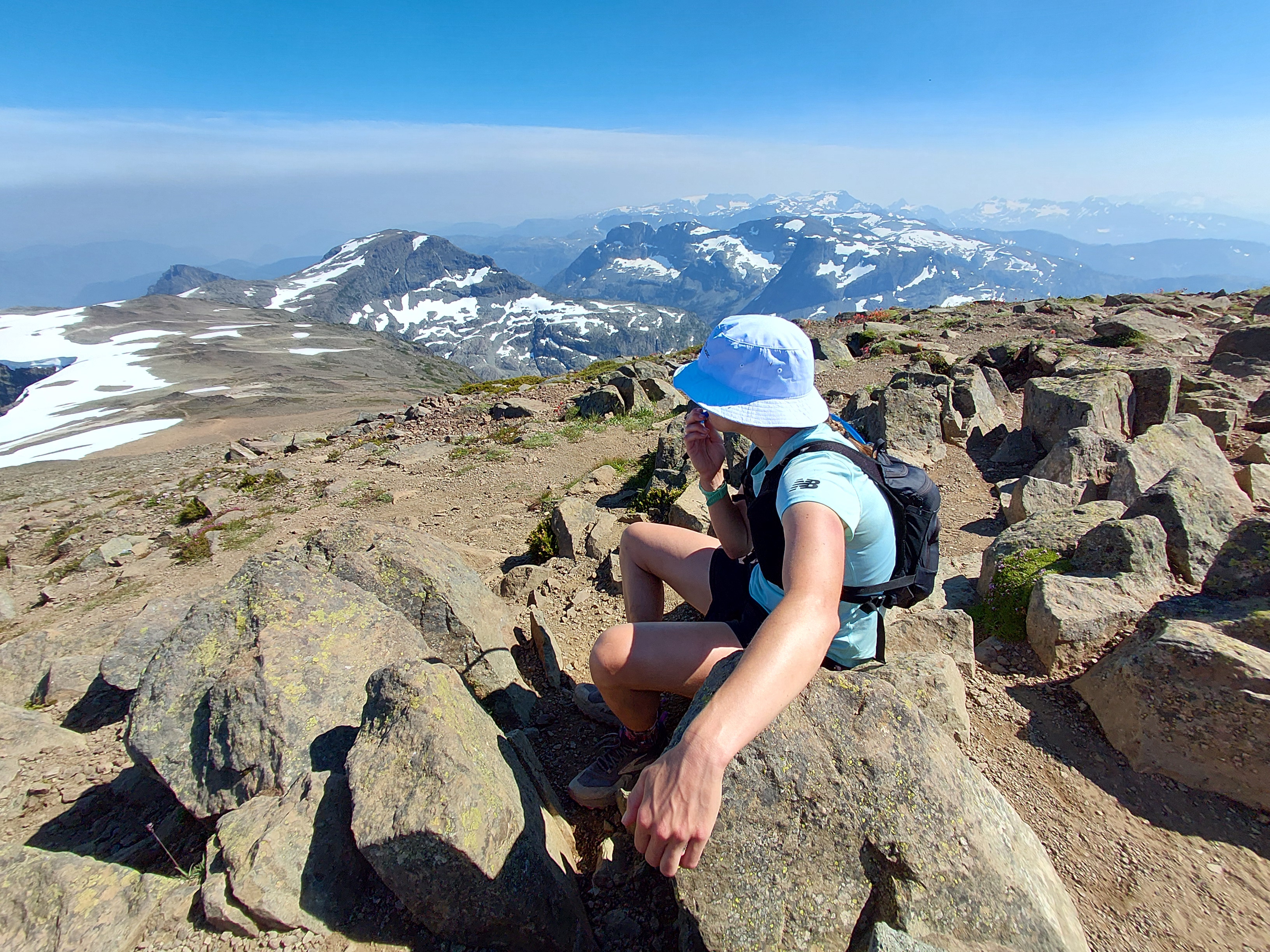
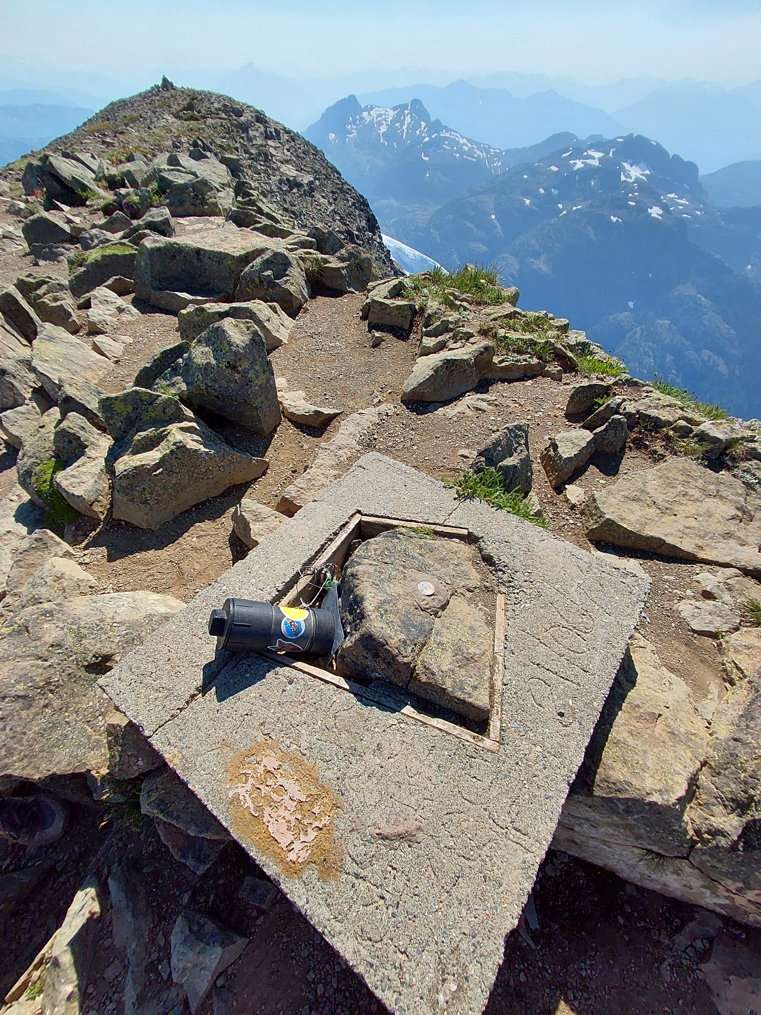
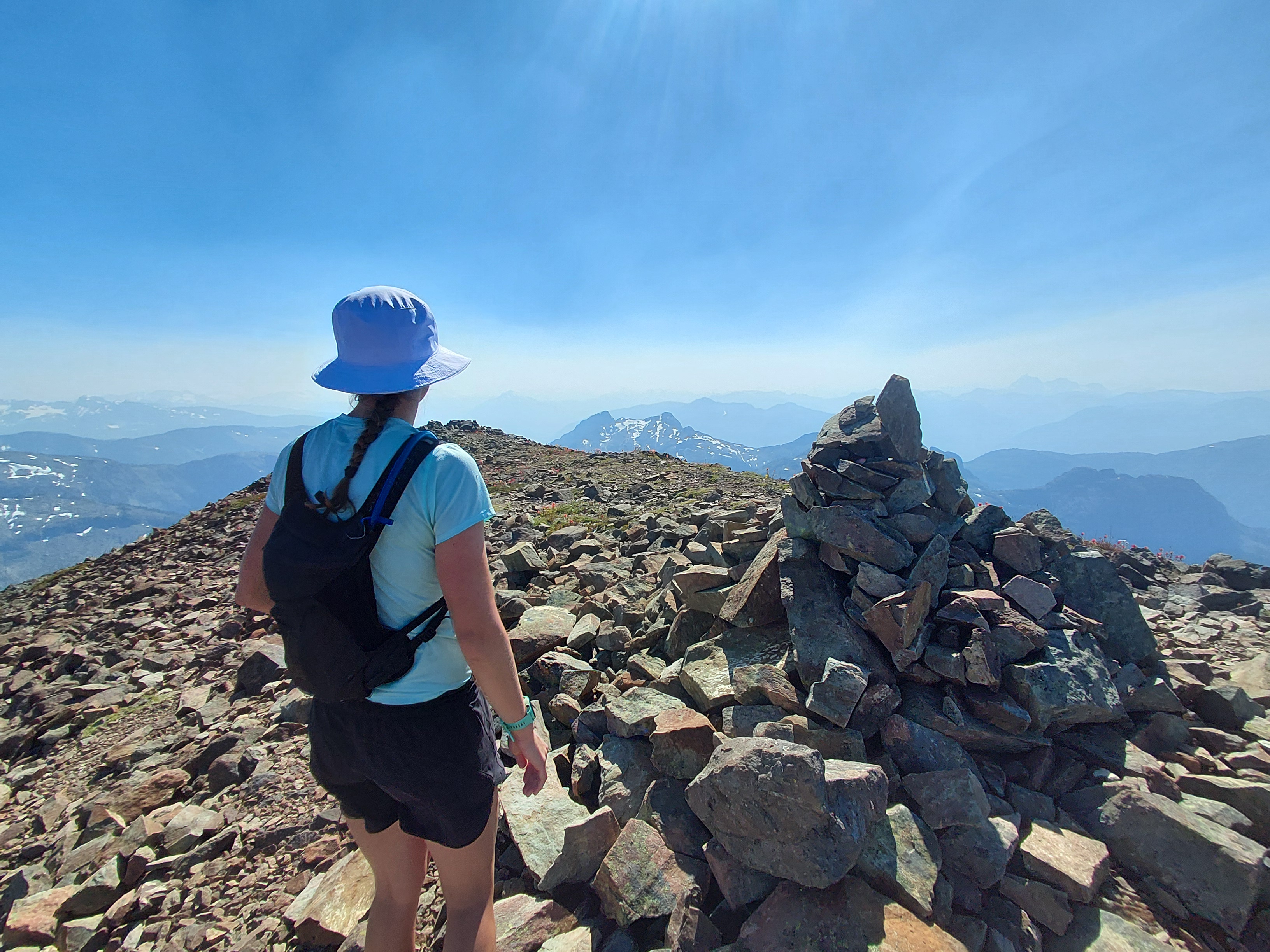
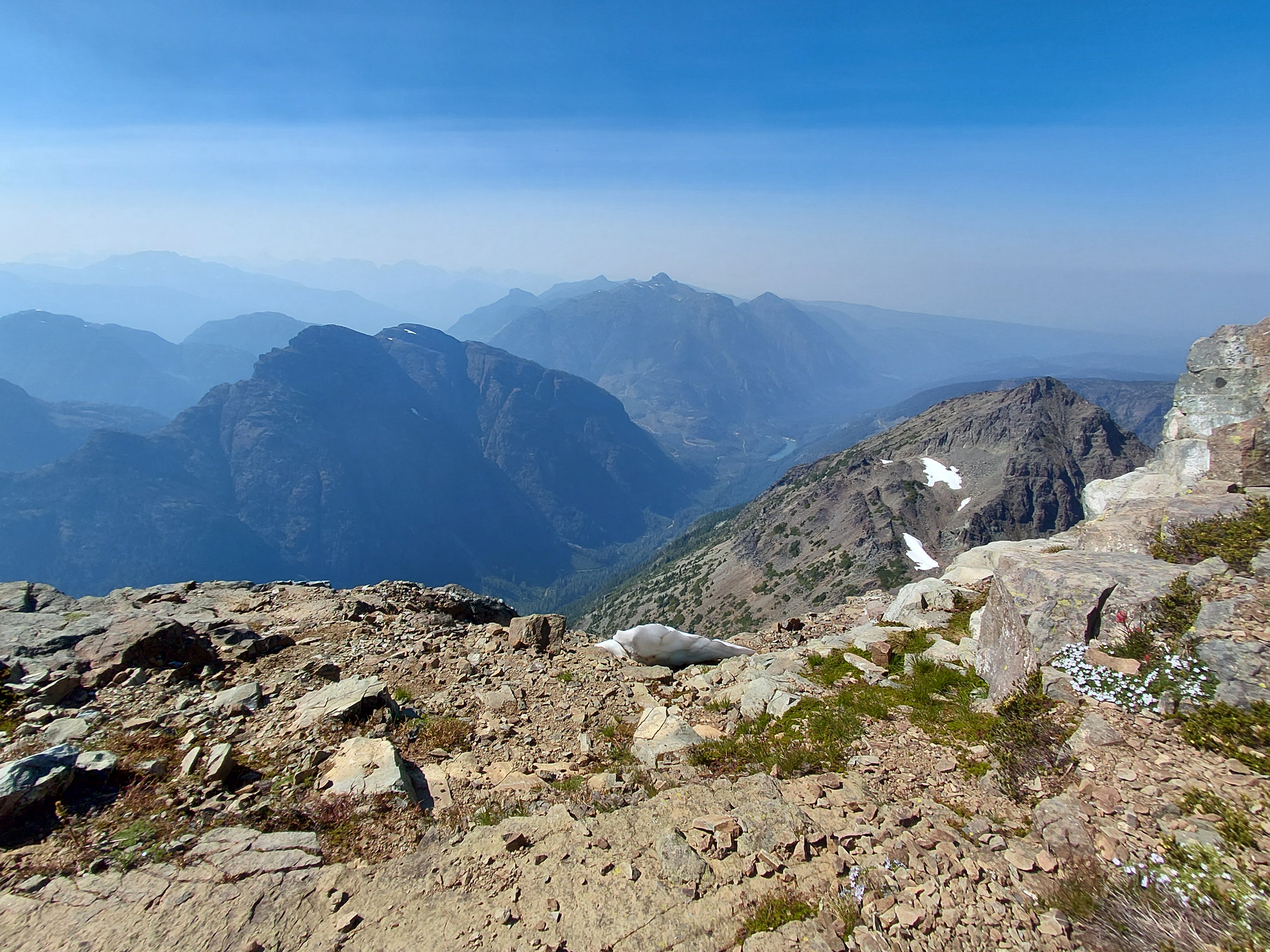
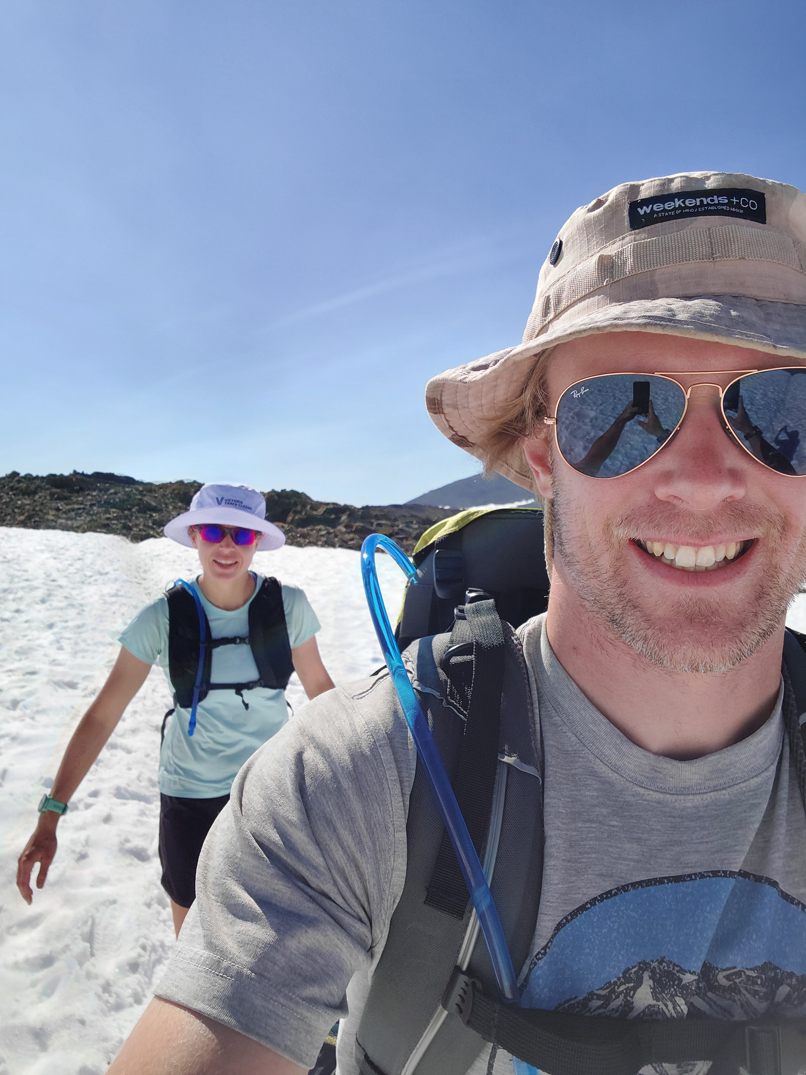
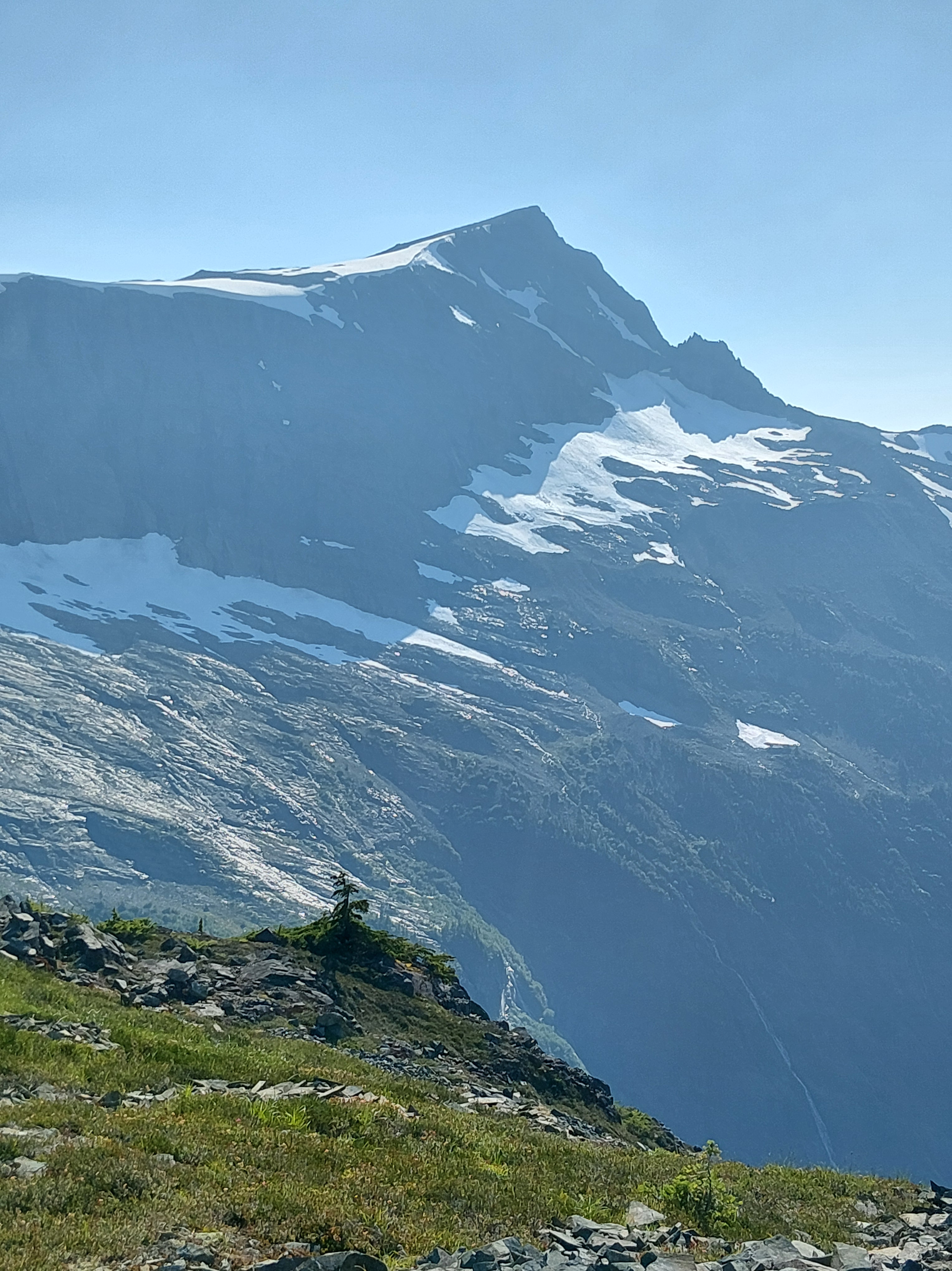
Crossing the open alpine ridge between Frink and Albert Edward with low energy, sore feet and aching legs brought on some brief doubt of completing the route in its entirety. But I pushed through because I knew how badly Cody wanted to finish the loop and I don’t think he would have left me stranded. But then, we came across the elixir of life – a small creek of snow melt – and took a few big gulps. That fresh crisp water lifted us to the third peak and the star of the day, Albert Edward, which has a summit elevation of 2,098m. We had amazing views of the ranges around us, including where we parked the trailer at Mt Washington, which seemed very far away! For me, it was a pretty fear-inducing but empowering day. I felt a bit better when I could keep Cody off the cliff edges!
At the end of the day, our route was 20k with 1,504m of elevation. In the grand scheme of things, we were very small specks on this island mountain range. Nature is insane and the scale is impossible to comprehend. Once back at the campsite, we had a restorative swim in the lake and lazed about in the evening.
July 21 – The day started out a little shaky. We had ravenous hunger and unsatiable thirst from the previous day’s deficits. The first crawl and step out of the tent were rough – lower back and limbs were stiff and sore! How in the world are we going to hike out of here?! Fortunately, after some movement, food, a litre of water and a splash of lake water to the face, we started to come around. We were in no rush to head out, so took our time with breakfast and packing our gear.
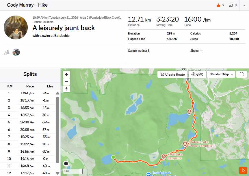
We’re suckers for punishment though and decided to take the slightly longer route back to the trailer. Thankfully, the trail was relatively easy and we made decent time and stopped at a look out spot for lunch where we could see the three peaks we’d climbed yesterday. It was pretty wild to see the mountains from that perspective – how far away they seemed in that moment, and how on two legs we got to the top of three peaks in one day! The temperature was quite warm, and our 25kg packs got heavier every step. When we arrived at the north end of Battleship Lake, we had about 2km left of our journey to the trailer. It was the perfect time to wash off the several layers of sunscreen, deet and mud as well as rejuvenate for the final stretch. We made it back and to my relief, no one drove away with our house on wheels. With clothes hung up to dry and camp dishes properly washed, we sunk into our chairs and remained there the rest of the evening! Our shoes and the feet in them needed a few days rest!
July 22 – We did some work in the morning, and Cody was excited to spend the afternoon at Mt. Washington’s bike park. I was hesitant and a bit reluctant to join, but Cody didn’t give me much of a choice! He rented us big downhill bikes, which are surprisingly different from our trail bikes – who knew there were so many different bike geometries?! Then, we geared up with full face helmets, chest protectors, elbow and knee pads and headed up the chairlift! Thankfully, we didn’t need to test out the protective gear. We both kept the bikes rubber side down and had a lot of fun riding the flow and technical runs. Despite the slight pull to master the flow trails, our day pass, quads and forearms had expired.
July 23 – We came to the realization that we quite like camping in a mountain resort parking lot. We had no neighbours and an unobstructed view of mountains in the Vancouver Island Ranges. Despite us wanting to commit to the “lifty” life, we packed up and headed out. The 20k decent from Mt Washington proved to be just as challenging as the climb up with the truck and trailer. The final 12 per cent decline proved to be a little too much and Bobby’s brakes overheated. That was not ideal, but we stayed safe and stopped to let them cool down. Once the tires came down to a manageable temperature, we carried on. After that excitement, we had an uneventful drive to Campbell River where we got groceries and fuel. Then began the northward push to Telegraph Cove, a 2.5-hour drive. The only route up is a rolley Highway 19 and today it was particularly windy. Cody had quite the time keeping our unit between the yellow lines and the ditch because the gusts were pushing our broad-sided box all over the place. Once we turned off the highway towards the coast, the roads were not great. A lot of twisting, turning, plunging and descending with a trailer and already weary driver. After many chocolate-covered almonds and Swedish berries, we made it to Telegraph Cove Campground and managed to secure a fully serviced semi-private site. It was about 15°C cooler here than at the top of the mountain! We cooked fresh salmon, rice and salad and then walked to the beach where we found a natural teeter totter in a pile of driftwood.
July 24 – After a few days of summer heat and sunshine, we were back to the cool and rainy weather in Port McNeill. But this kind of weather is far better than the heat and drought that most of the province is experiencing right now, so we shall not complain! After a morning of work, we headed out to do what we thought would be a trail run on the Blinkhorn trail. We pretty much knew immediately it was going to be another pseudo-hike. It was straight up and straight down on greasy roots and slippery rocks. A major storm had blown through during the winter, downing a lot of large trees, so the trail was also not easy to find in places. After traversing the maze of logs and tiptoeing across some natural bridges, we covered about 4km in 1h45m to get to the small island just off the shore, called Blinkhorn Penninsula. We got a window of sunshine and saw lots of jumping fish – that we hoped would attract a whale or dolphin, but unfortunately no such luck. The water was calm and the mountains in the background seemed to come out from the water. The trek back was a bit faster because we knew where we needed to go. Chicken tacos for dinner and hot chocolate for dessert!
July 25 – Rest day! It was a soggy and sleepy day in Telegraph Cove. We headed into Port McNiell in the afternoon to check out the downtown and grab some building supplies. The main street even had an IGA – who knew those were still around! Cody made efficiency modifications to our air conditioner, despite us not really needing it so far this trip. We had loaded homemade pizza for dinner.
July 26 – Another cool and rainy day. We went for a soggy 6km jog around Telegraph Cove and then headed to our next location – Port Hardy! Everything we packed up was nice and damp, so we tried to dry it all out with the bit of sun we found on our site at Quatse Regional Park site – our basecamp for all our north Island adventures! I worked on three impending deadlines and Cody built shelves for our clothes closets – with his safety sandals and all!
This week we are entering the last leg of our Vancouver Island journey! It’s hard to believe we have covered so much ground in so little time. Stay tuned for what we get up to while exploring the north Island.
Let us know what you think of these updates! Want to stay in touch? Sign up for our newsletter!
Boreal forests, Interior Plains, gusty winds, oh my!
We’re making swift interprovincial progress now When Cody and I drove west to Victoria in 2020, we took the most direct option via the Trans
North of 60: Part two and Alberta
We continuously recalibrate our perception of ‘remote’ Every time we arrive somewhere new, it becomes the most remote we’ve been on the trip so far.

North of 60: Part One
The YUKON! When people asked us about the extent of our northern tour, I skeptically told them Cody wanted to make it all the way
3 Responses
What an AWesome Trip !!! Congrats you guys !!! Looks incredible, beauty photos, and great detail in your hikes, and climbs !! I love it !! Keep on Enjoying !!!
Thank you, Andrew!! 🙂