We continuously recalibrate our perception of ‘remote’
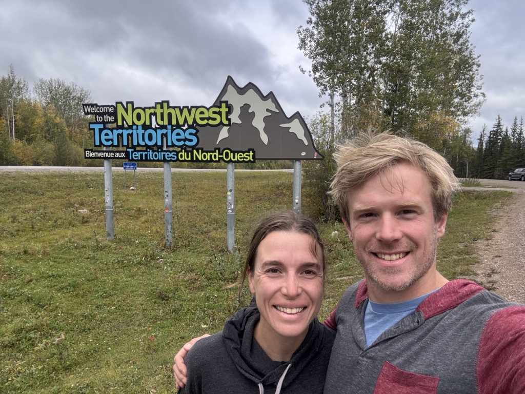
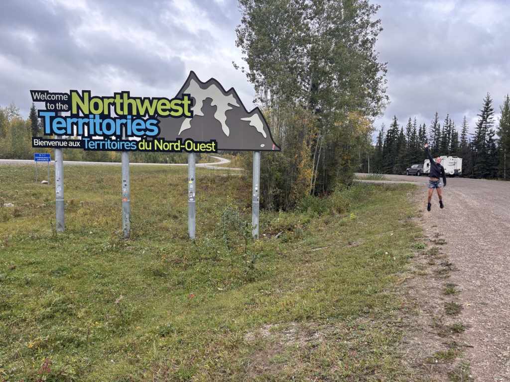
Every time we arrive somewhere new, it becomes the most remote we’ve been on the trip so far. First, it was the North Island, then Northern BC, then Southern Yukon and then we arrived in Northwest Territories. The gravel roads, vast spans of boreal forest and quiet campgrounds all made us feel very much out in the middle of nowhere. We had an awesome week in NWT, even though we only covered a tiny part of the territory. The massive Liard River and MacKenzie River were humbling to witness and made us itch for more adventure, but I am glad we are now a little closer to amenities (gas stations and grocery stores), and we have some cell service every once in a while!
Liard Hot Springs
Leaving the Yukon was tough as it marked a literal turning point in our travels – we’re now officially “headed home.” Before leaving Watson Lake, we did a couple loads of laundry and bought groceries. Even though we are used to grocery prices in Victoria, I still got sticker shock. A box of cereal was $18.99, a 284g bag of Kicking Horse Coffee was $34.99, and a can of Campbell’s Soup was $3.19! I winced at these prices, but paying an arm and a leg was better than no groceries at all!
Watson Lake is home to the “signpost forest,” which was started during the highway’s construction in WWII when a homesick soldier (the military was recruited to build the road) erected a sign pointing to his hometown. Now there must be hundred of thousands of signs from all over the world.
After some lunch, we made the relatively quick drive down the Alaska Hwy back into BC to the Liard Hot Springs. We added this stop to the trip last minute to break up the longer drives we’d originally mapped out. We had heard from many people that the Liard Hot Springs was a must see, so luckily, we were able to get a site there for the night. The plan was to spend at least two nights in every location, but we bucked that for a few days to cover some extra distance. So far, we had seen elk and bears along the drive and now we can add bison! We passed one herd on the way and then came across another just as we were turning into the campground.
Bison has decided the driveway and highway ditches were perfect places to graze. One bull was so large we both did double takes questioning whether it was real or a statue. Now we understood why the campground had 3m high electric fence surrounding it and a cattle guard to get in. After setting up, we headed to the hot springs. This was my first experience, but Cody has been to several in BC and Japan, and he said this was one of the best he’d seen. We walked up to a wooden platform that lined the side of two completely natural pools of water that ranged from 42oC to 52oC. The rocky bottom and dirt sides paired with overhanging trees and warm water really made it feel like we were in the tropics! We went into the “cooler” pool first to acclimatize and then made our way to the hot side. We didn’t last long though and had to retreat to the cooler waters. We’re so glad we could witness this natural wonder!
Fort Nelson
After a quick morning dip in the hot springs, we packed up and continued to head east on the Alaska Highway. I considered doing work on the drive, but my productivity plans were dashed. The intense curvature and elevation gain and loss caused immediate motion sickness. We were no longer on the flat and open roads of the Yukon … back into the mountainous BC and Northern Rockies! It was probably for the best though because the views along the highway were stunning. Mountains, lakes and yellow aspens lined the sides of the road and made for a scenic day of driving. The rainy morning made for a moody drive through Muncho Lake, Toad River and Summit Lake while we passed through the Northern Rocky Mountains. The highway along Muncho Lake is almost in the lake so experiencing that was a real highlight. The sun eventually broke through the clouds, and we had a sunny drive as we descended into Fort Nelson.
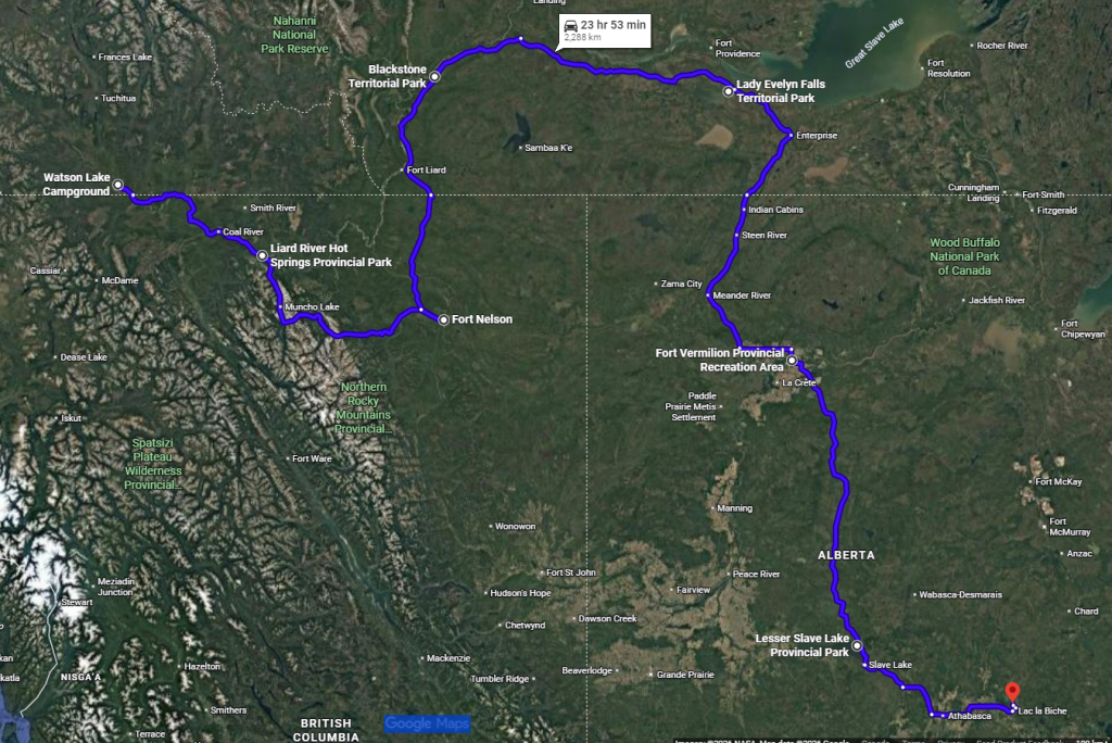
After the drive, we were itching for some movement and headed out for a run. There was a demonstration forest right across the road from where we were staying at Triple G RV Park. We quickly realized we were in for a bit of a bog run and jumped over several large mud puddles. It was slightly drier at the top of the hill, but the wet clayey silt was as slippery as ice! We eventually found the paved community trail that ran along the perimetre of town. It was a perfect 10km loop to shake out the legs and see a small piece of the area. The proximity to town meant that we could also conveniently fill up the truck and get groceries for our trip into the Northwest Territories. … You thought we were heading straight to Ontario now, but one more detour can’t hurt!
Blackstone Territorial Park
We turned off the Alaska Highway and started up Liard Trail towards the BC and Northwest Territories border. It was a gusty day, and we swayed our way out of the province. We made a quick pit stop for fuel in Fort Liard as it’s the only gas station for about 400km. Not far beyond this small town, the highway turned from chipseal to gravel. It must have rained most of the morning because the road was soft in spots and our trailer got painted a pretty gray shade of mud. We could count on one hand the number of other vehicles we saw on the road. Honestly, bison vastly outnumbered the people that we saw. Most of the bison were in herds, but there were a few lone bulls grazing on the roadside.
When we pulled into Blackstone Territorial Park, it was cool and gray, but we got a spot right on Liard River. However, the river is very wide so we would have thought it was a lake if we didn’t know any better! Across the river is Nahanni Butte, which is only accessible by water taxi and ice road. This park is surely the most remote spot we’ve stayed so far. No cellphone service or road noise to speak of. The potable water was brought in by trucks and stored in holding tanks. The hot water heater ran on propane. We felt very secluded as one of only three site occupiers in the park, but we did enjoy the peace and quiet!
The next day, we went for a little run around the campground, checking out the short trails nearby and soaking up the fall sunshine and river views. We appreciated the hot and free showers at the campground! That evening, we were treated to a gorgeous sunset over the river and were surrounded by a symphony of owls and loons nearby while we sat by the fire. We were pleased to have daylight until after 9 P.M. again.
Lady Evelyn Falls Territorial Park
Since the Liard Trail was so sparse of vehicle traffic and a very smooth gravel road, we took advantage of the learning opportunity, and I did my first big drive pulling the trailer. Cody embraced the passenger princess lifestyle and enjoyed the views. Around every corner was more trees and muskegs. We saw a few vehicles, 98 per cent of which were Ford pick up trucks. We also hit the most northernly point on the trip at the Liard Trail and Mackenzie Highway junction, sitting around 61.5 degrees north. Along the way, we spotted a couple black bears and many fearless ptarmigans. After several hours of keeping occupied by scrolling through the umpteen artist options on Cody’s iPod, we made it to Lady Evelyn Falls Territorial Park.
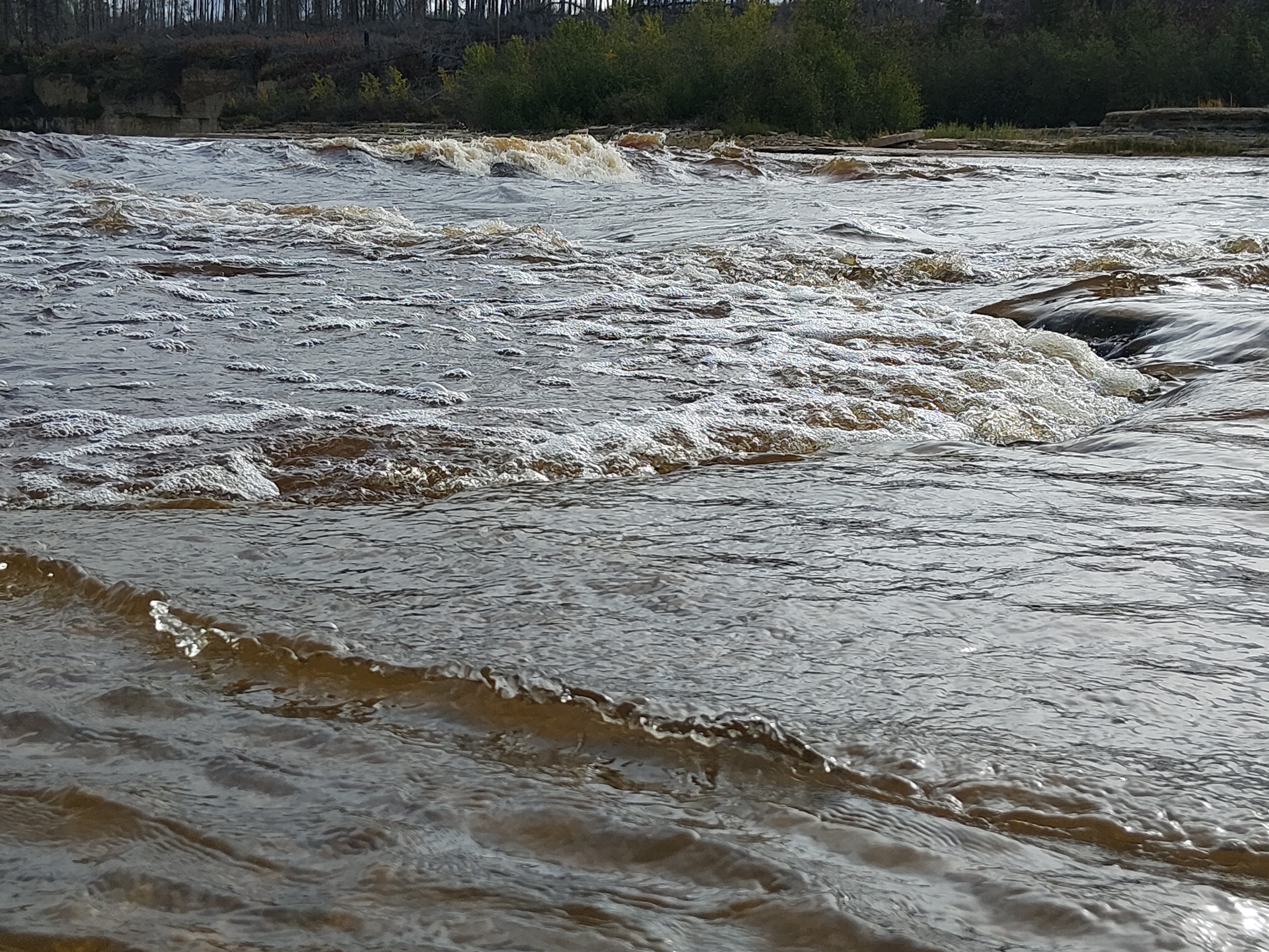
We rolled into clouds of midges so thick you could barely breathe! Setting up was a bit hilarious as they got into our eyes and mouths while trying to talk. We vacuumed endless amounts of dust that had infiltrated the RV’s pass-through storage from the gravel road; apparently the doors don’t latch very tight anymore! We then walked down to the falls viewing platform and saw the roaring river plummet 17m. Further up the river were more mini falls that I jokingly told Cody would make for an eventful canoe trip. We made a big fire and ate quesadillas for dinner.
Fort Providence
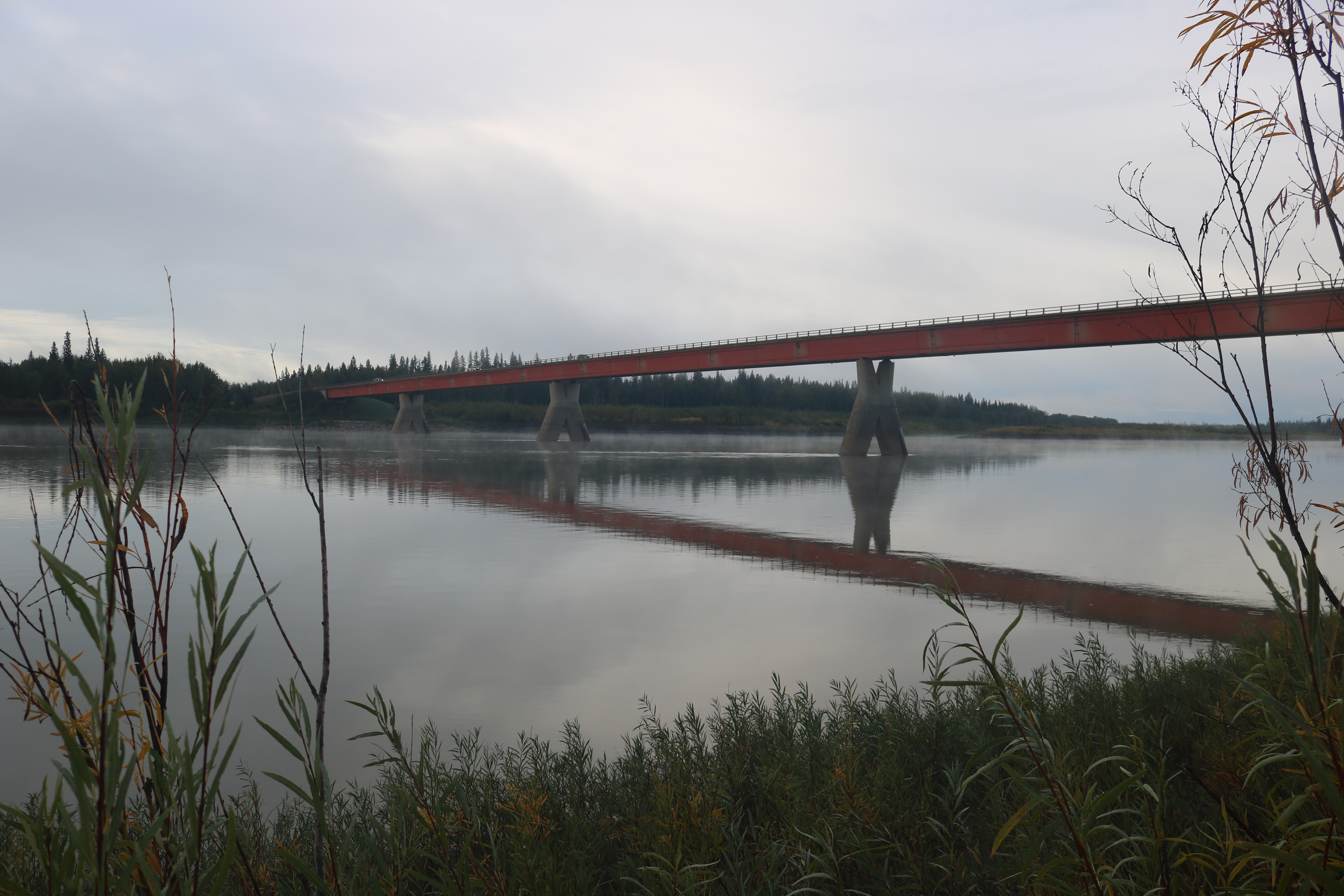
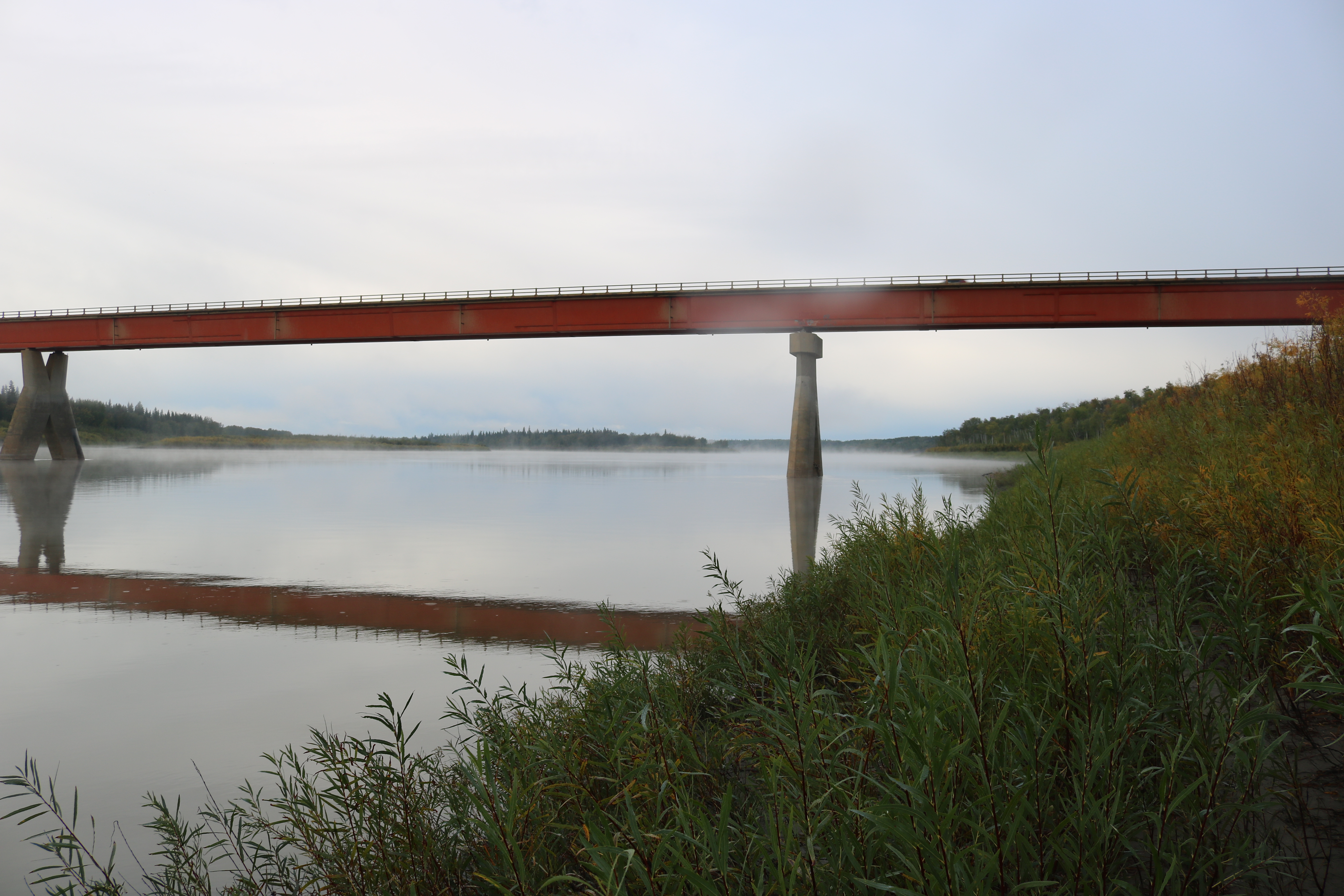
On our day “off,” we ventured into Fort Providence for fuel and to check out the Snowshoe Inn café. We crossed over the Mackenzie River via the engineering marvel of the Dehcho Bridge. It took crews four years to build the bridge through tough weather conditions. The Dehcho River, also known as the Mackenzie River, is Canada’s longest and North America’s second longest river, into which one-fifth of Canada’s rivers and tributaries drains into. The river is between two and five kilometres wide throughout its 4,000km length. The hamlet of Fort Providence was pretty quiet and the café was closed on the Sunday we visited, but we parked along the river to take in its immense size and saw a memorial for the Dene and Métis people who died at the nearby Sacred Heart Residential School, many during the flu pandemic.
A boarding school and orphanage were founded in Fort Providence in the 1860s by Roman Catholic Oblates, which operated through to 1960. A few years after the Catholic Oblates arrived, the Hudson’s Bay Company opened a trading post and named the small riverside establishment. The hamlet is also known for the nearby Mackenzie Bison Sanctuary, which is home to thousands of wood buffalo.
Later that afternoon we went for a run to the edge of Kiksa, a small village down the road from the campground. We hoped to spot a moose amidst the boreal forest but instead saw many trees and a few people hiking out from a backcountry mission of sorts. We stumbled upon an ATV trail that led us to a double track along the Kiksa River. We once again appreciated the free hot showers and the opportunity to do a load of laundry. We then made spaghetti, sat by the fire and listened to the whiskey jacks perched on the nearby treetops.
Alexandra Falls
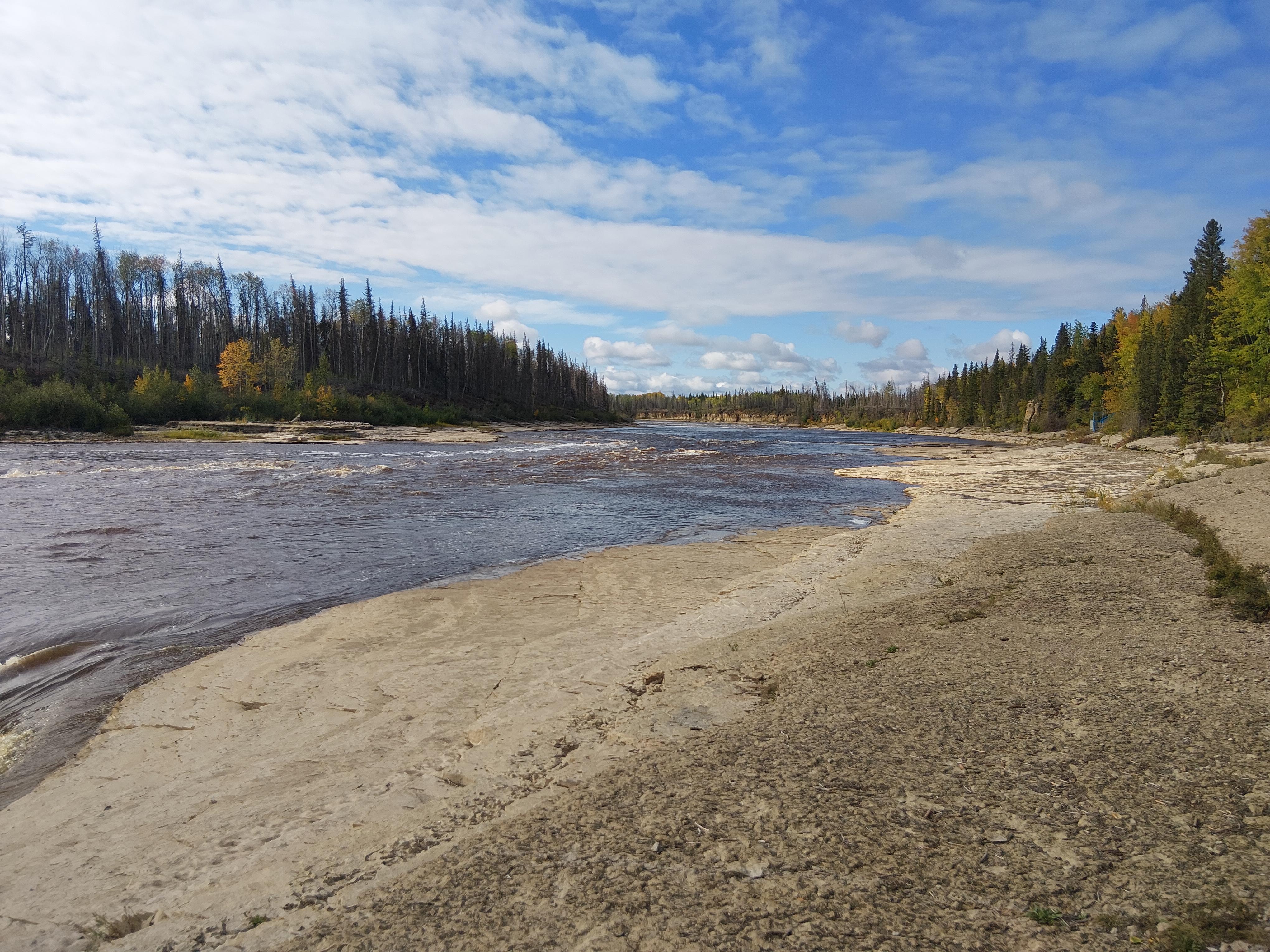
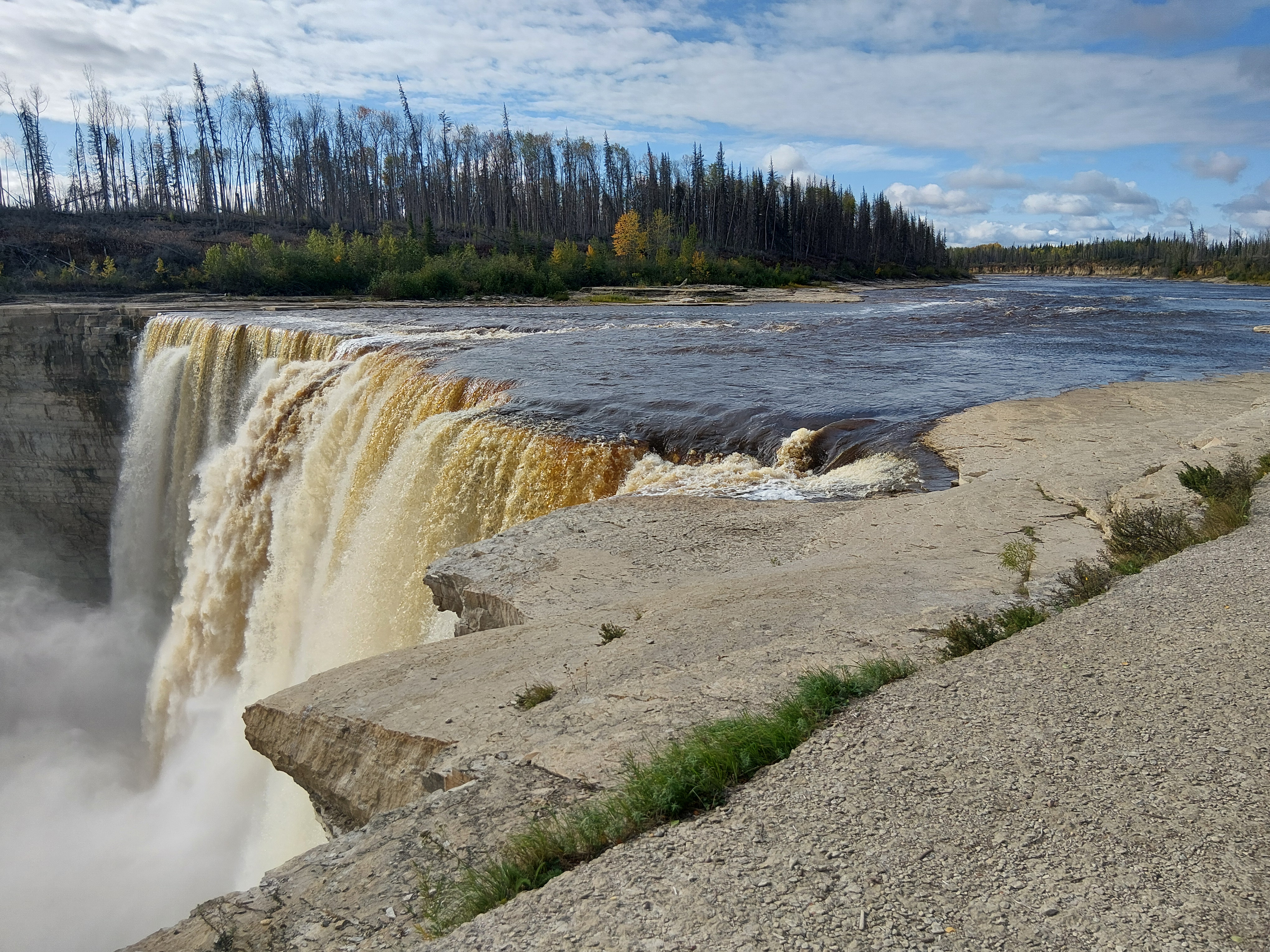
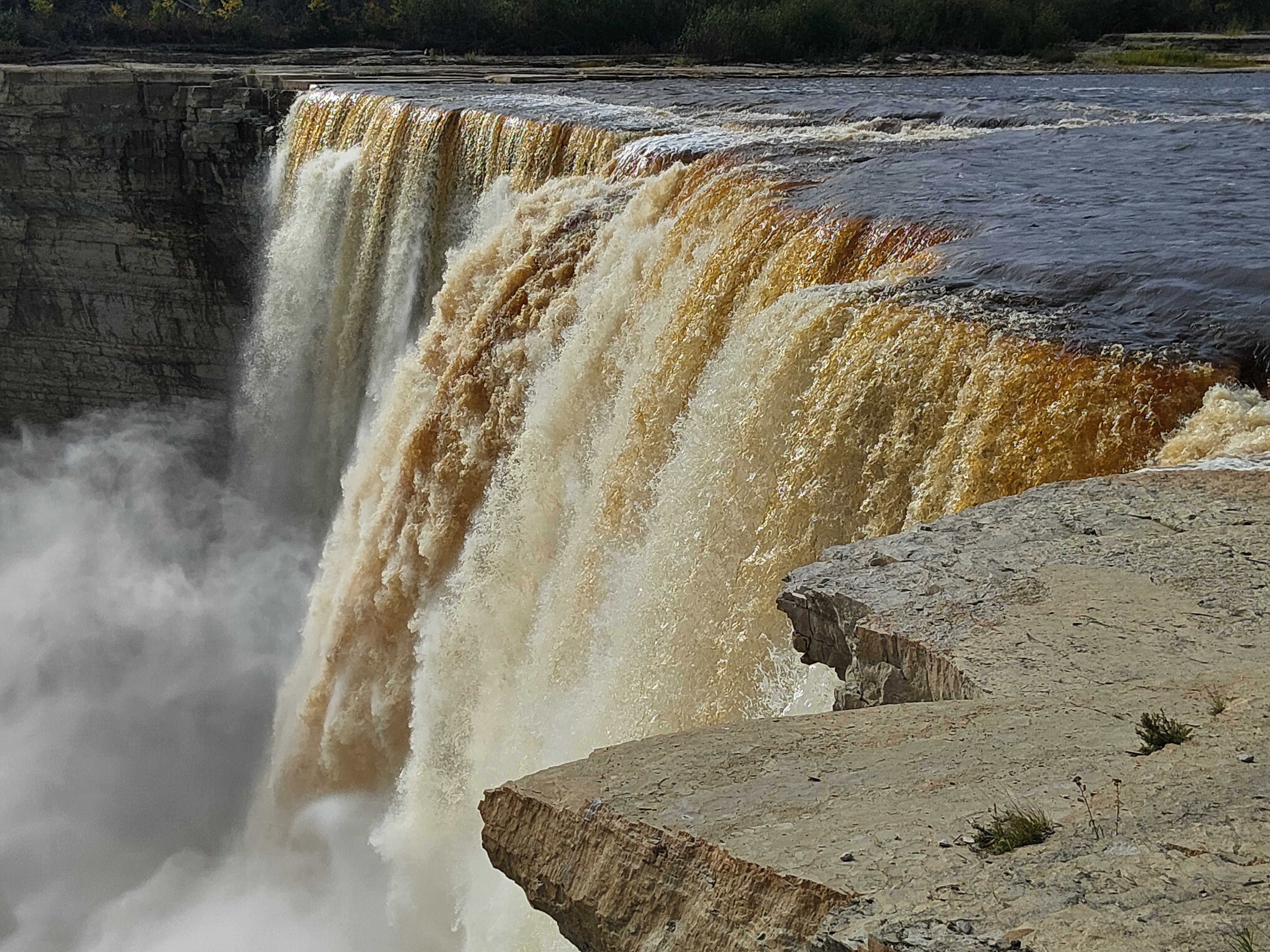
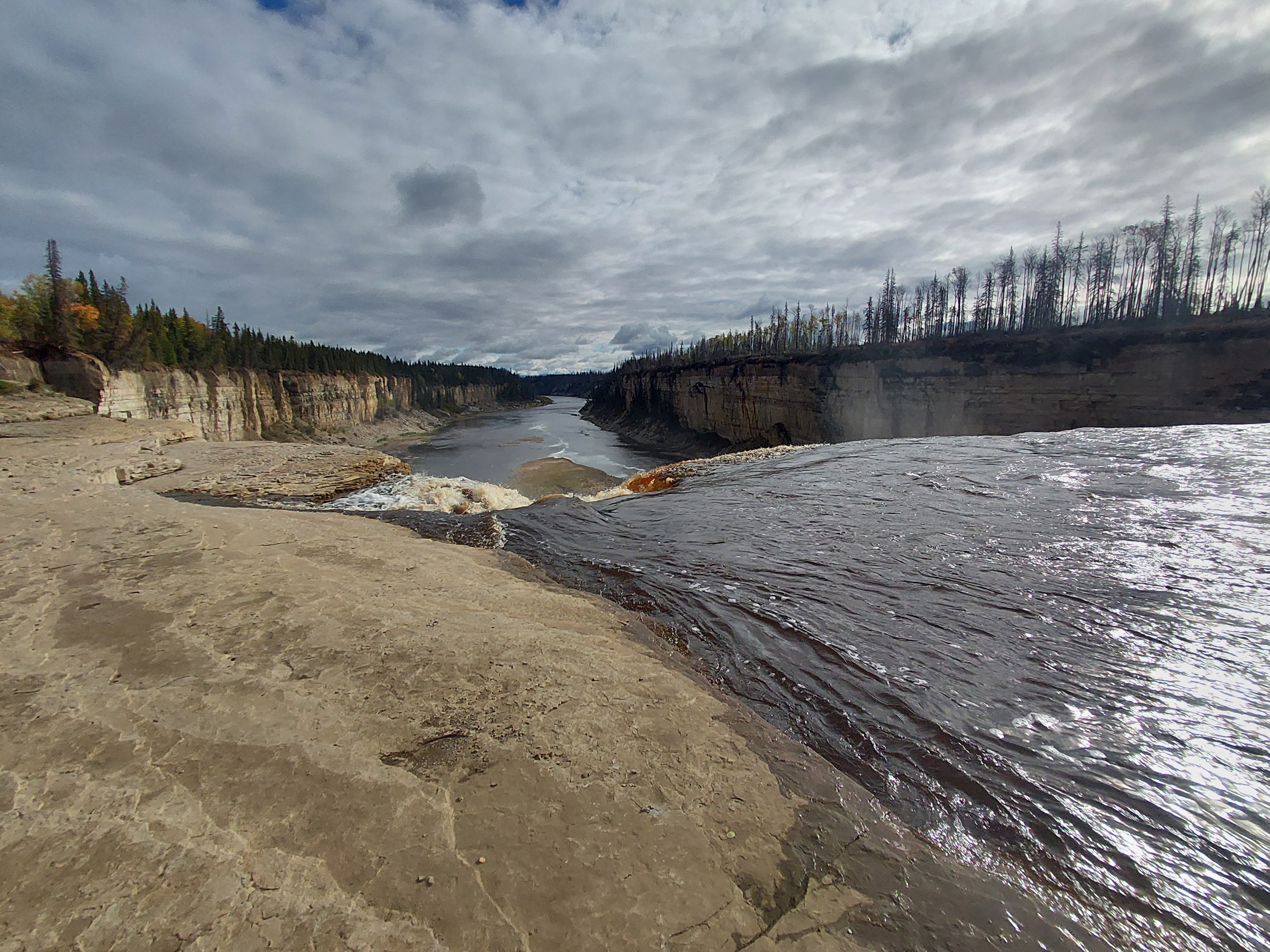
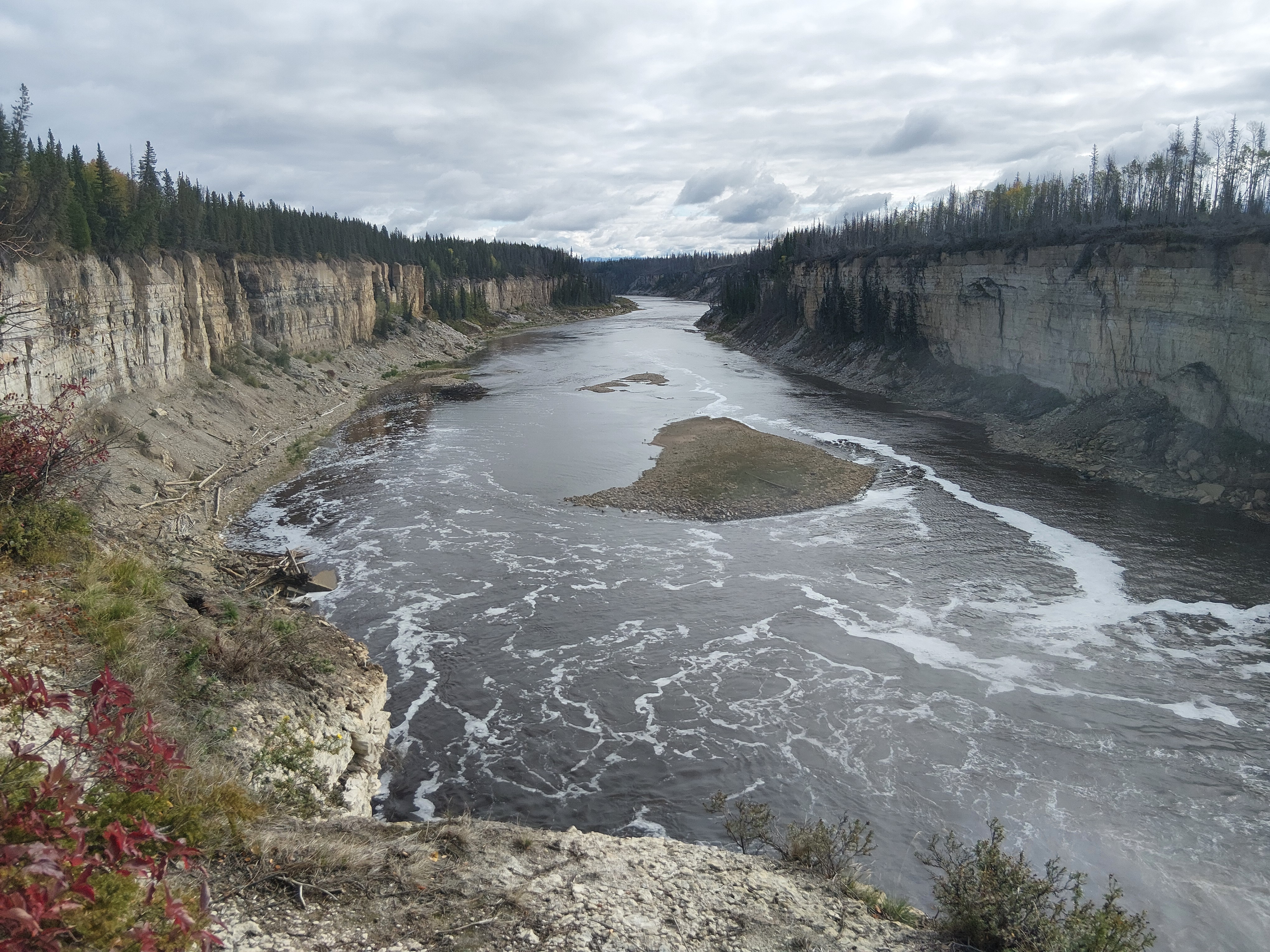
We left Lady Evelyn Falls and started our journey southeast. We drove along what must have been a ginormous inferno a year or two ago, with both sides of the road lined with charred trees for about 150k. We passed through Enterprise and continued to our first pit stop at Alexandra Falls. Right beside the road was a large canyon that carried the fast-moving Hay River. A short trail led to the falls that plunged 32m below! We read about the Dene First Nations and how they made it through the north’s harsh winters.
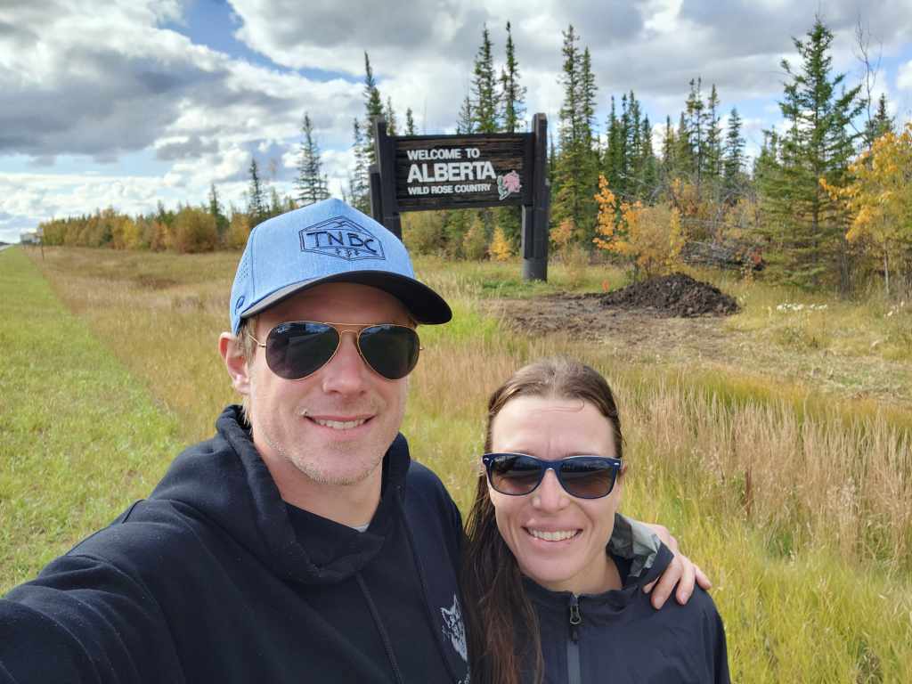
We stopped for lunch at the Northwest Territories and Alberta border and read about the places we’ll have to come back and visit, including Aulavik National Park on Banks Island. We crossed over into northern Alberta, which was still thick boreal forest at this latitude. Farther south, when a few fields started to appear, it was evident how soggy their growing season had been. There was a lot of green canola down and many wet spots that would likely swallow equipment. As we approached High Level to fuel up, we saw signs for Denny’s, A&W and Best Western! After driving through boreal forest for days and passing through small settlements with the odd gas station, this place felt like a big city! We made it the Vermilion Bridge Recreation Site for the night. We learned that Fort Vermilion was Alberta’s first European settlement, established in 1788, due to its proximity to the Peace River.
Lesser Slave Lake
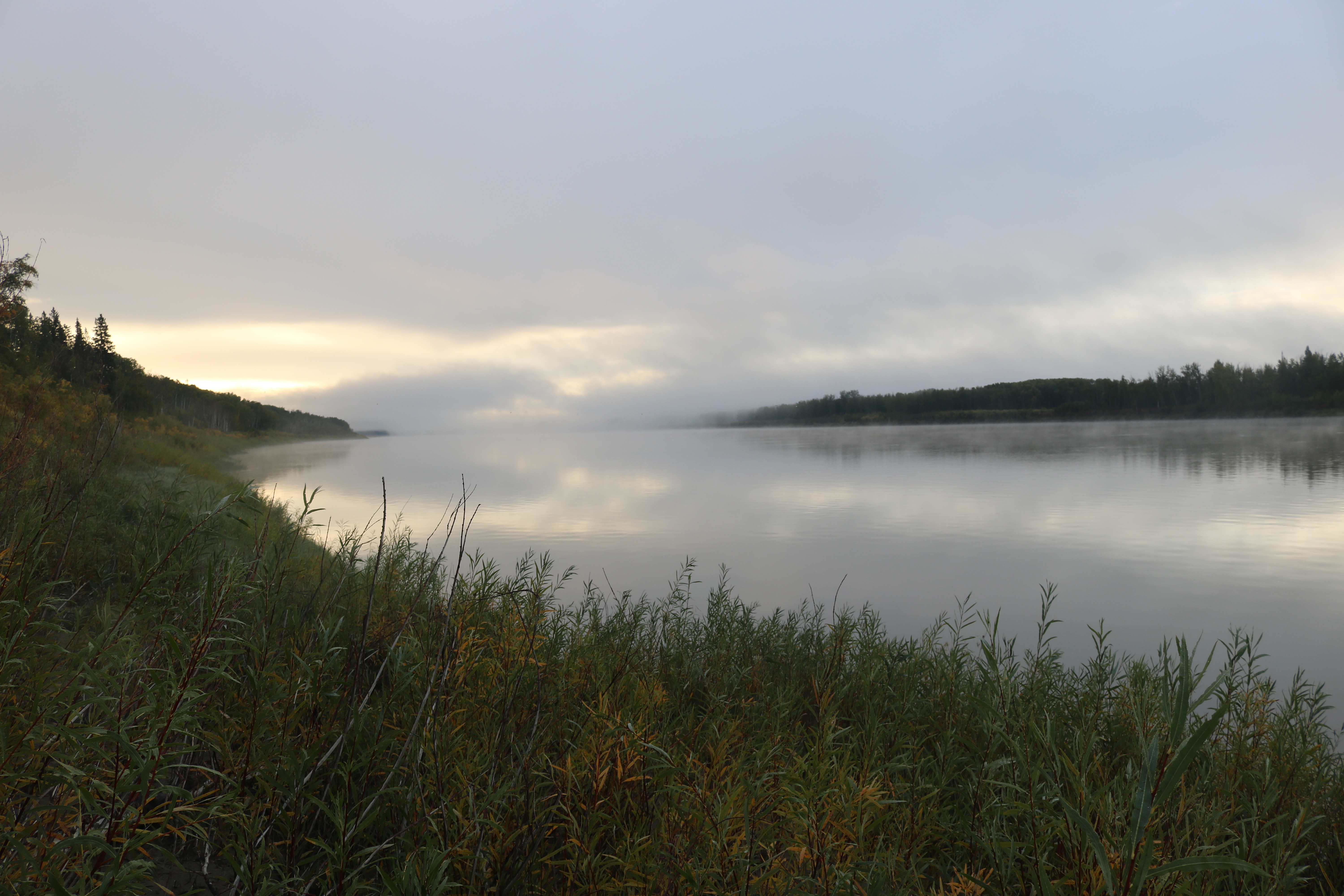
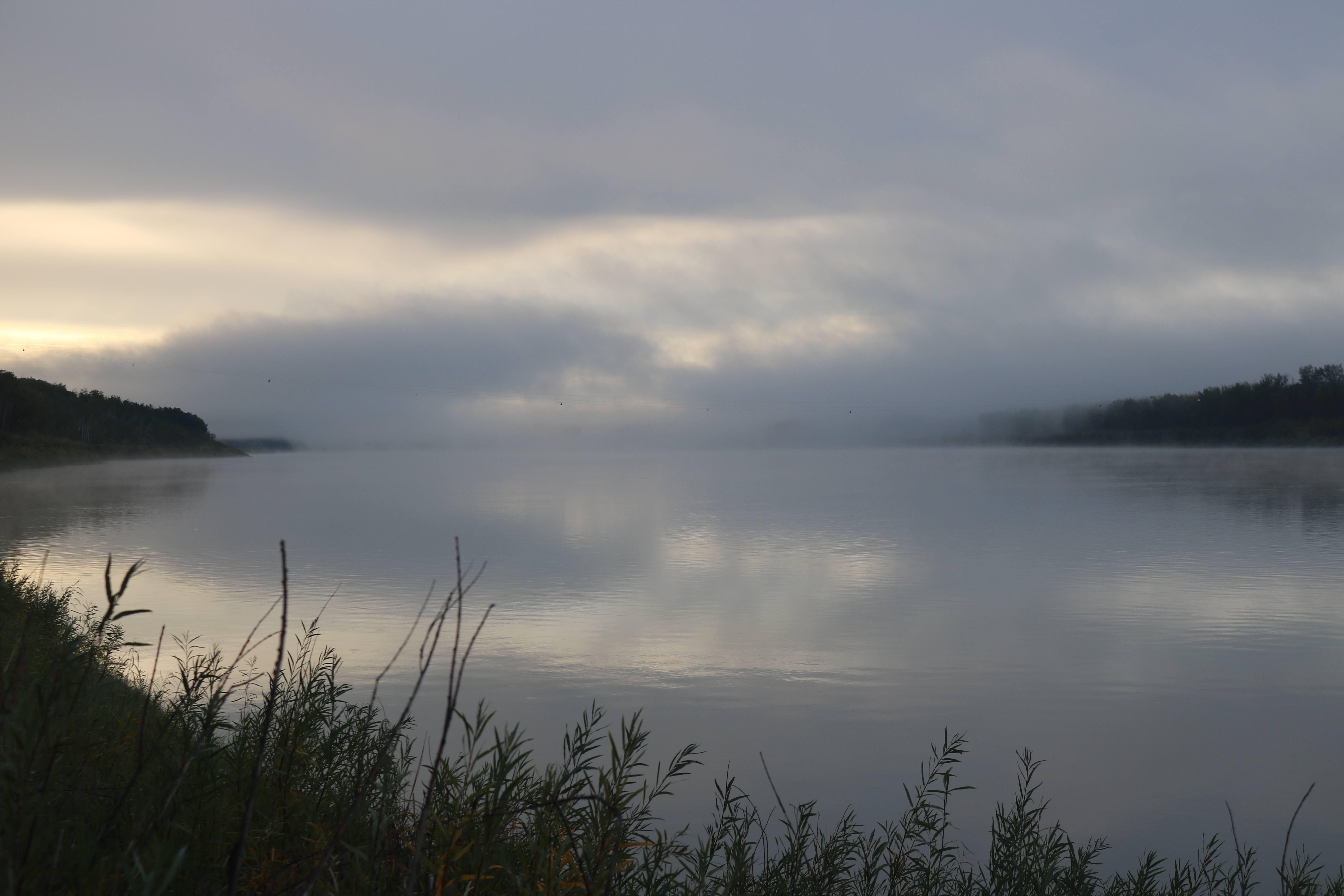
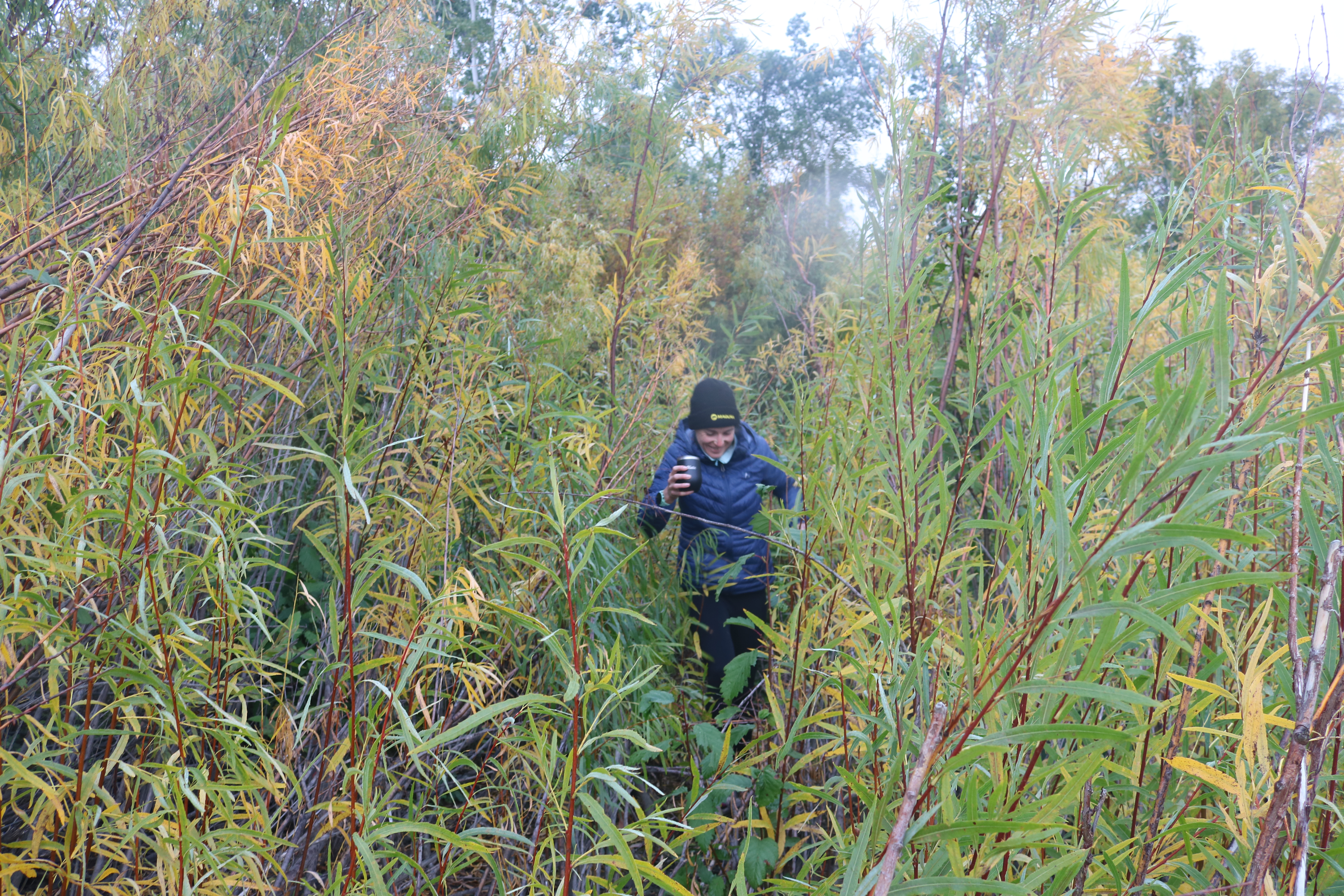
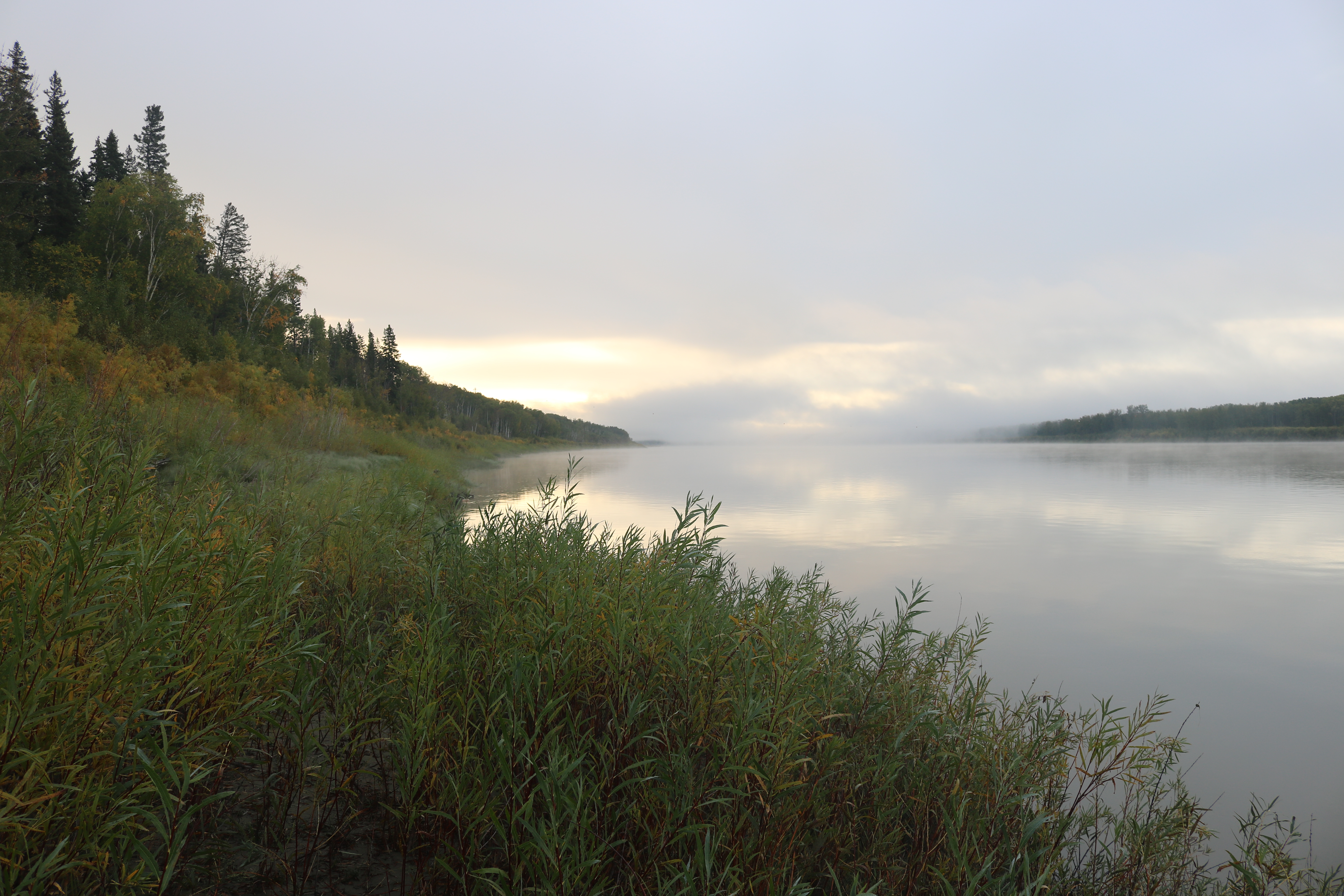
Before packing up in the morning, we walked down a deer path to see the mighty Peace River. We couldn’t see too far beyond the fog, but what we could grasp from our view was the shear size of this flowing water body. We set out southeast along Highway 88. More boreal forest, busy beavers and a few oil derricks on route. We also noticed that people were breaking new ground, potentially for row crops or even pipelines. After driving in the mountains for weeks, these roads seemed very flat and straight. I’m not complaining, though. It’s a lot less stressful for me, but Cody finds it incredibly boring. Good thing we have a long stretch across the Interior Plains to go!
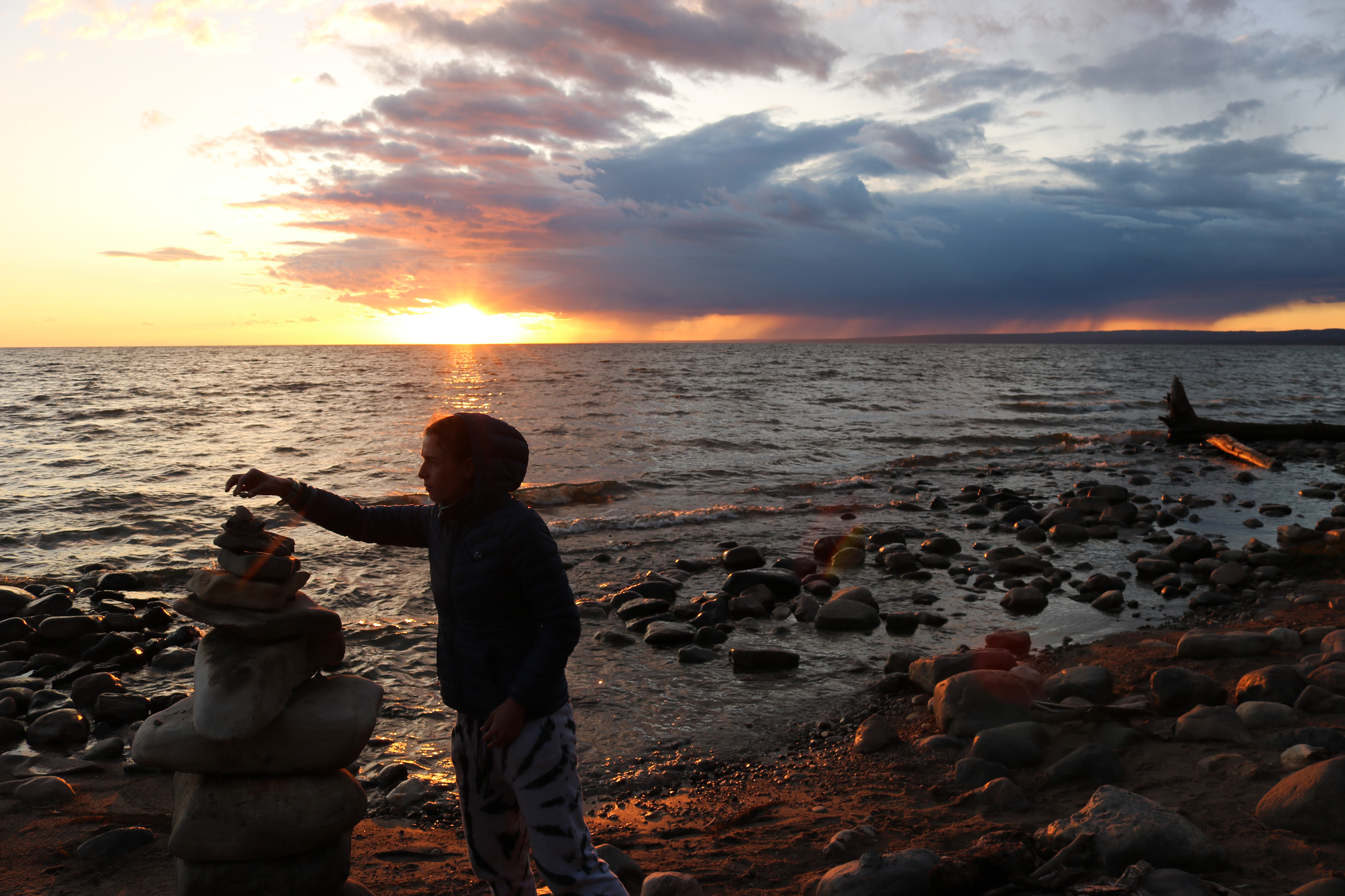
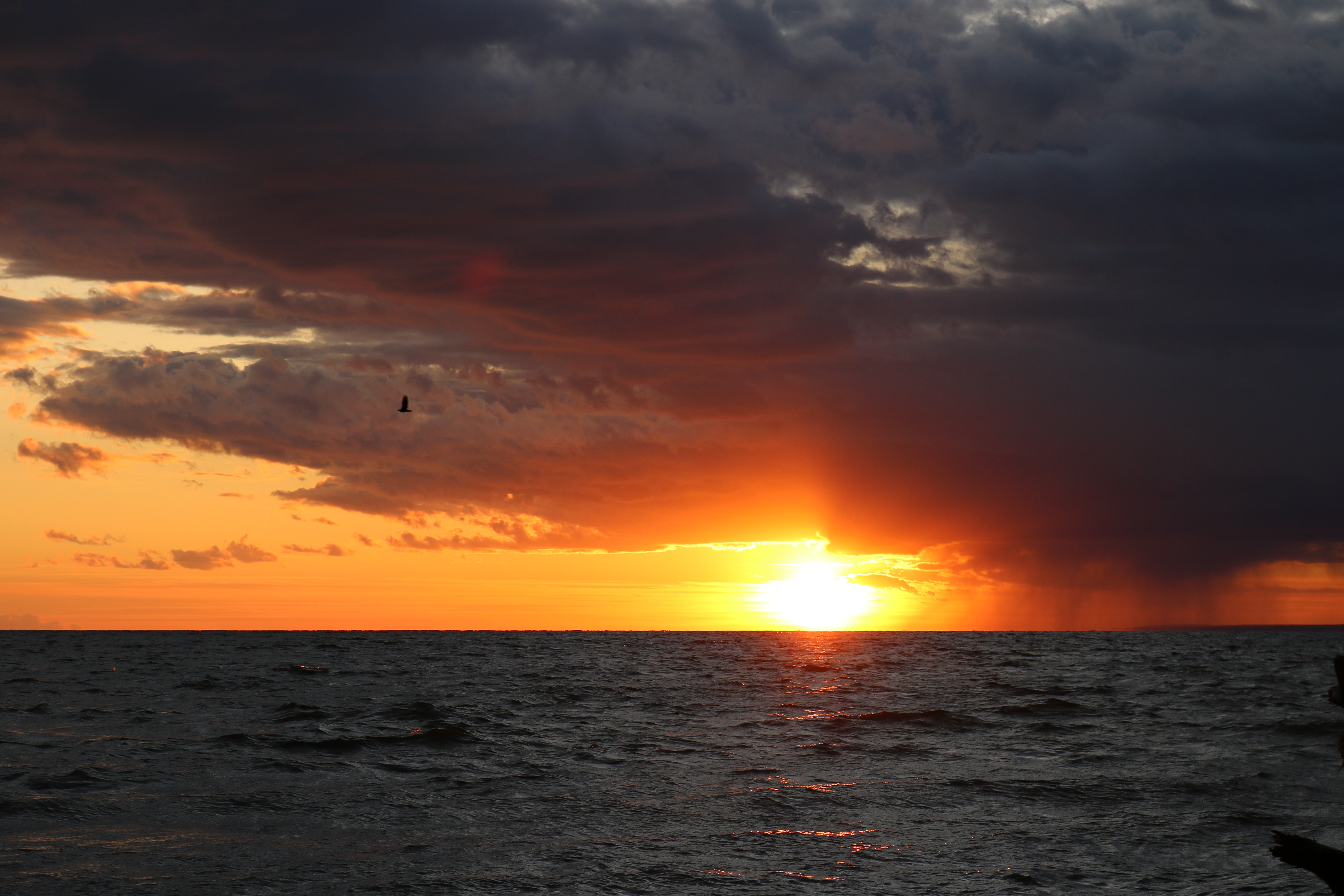
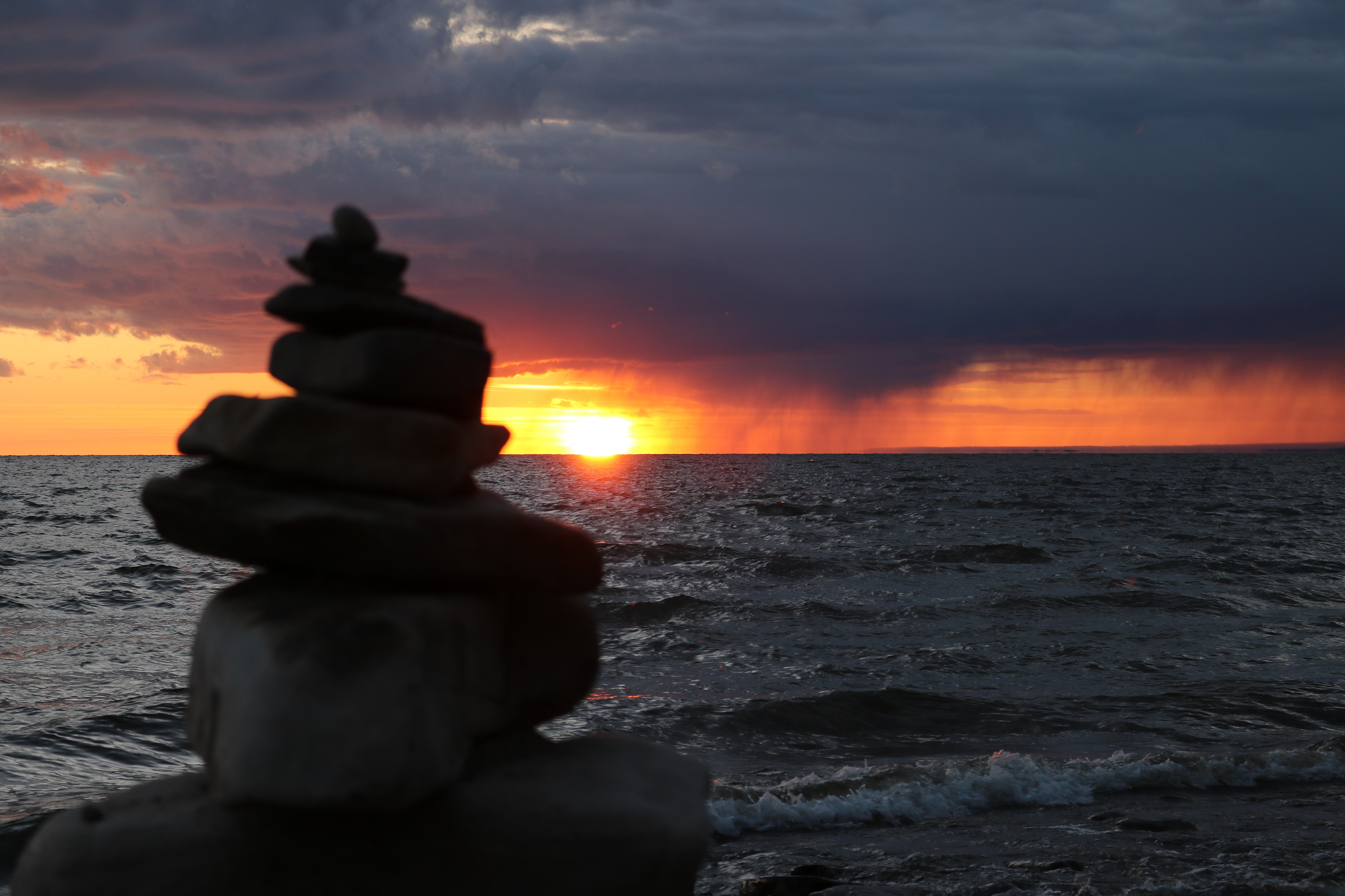
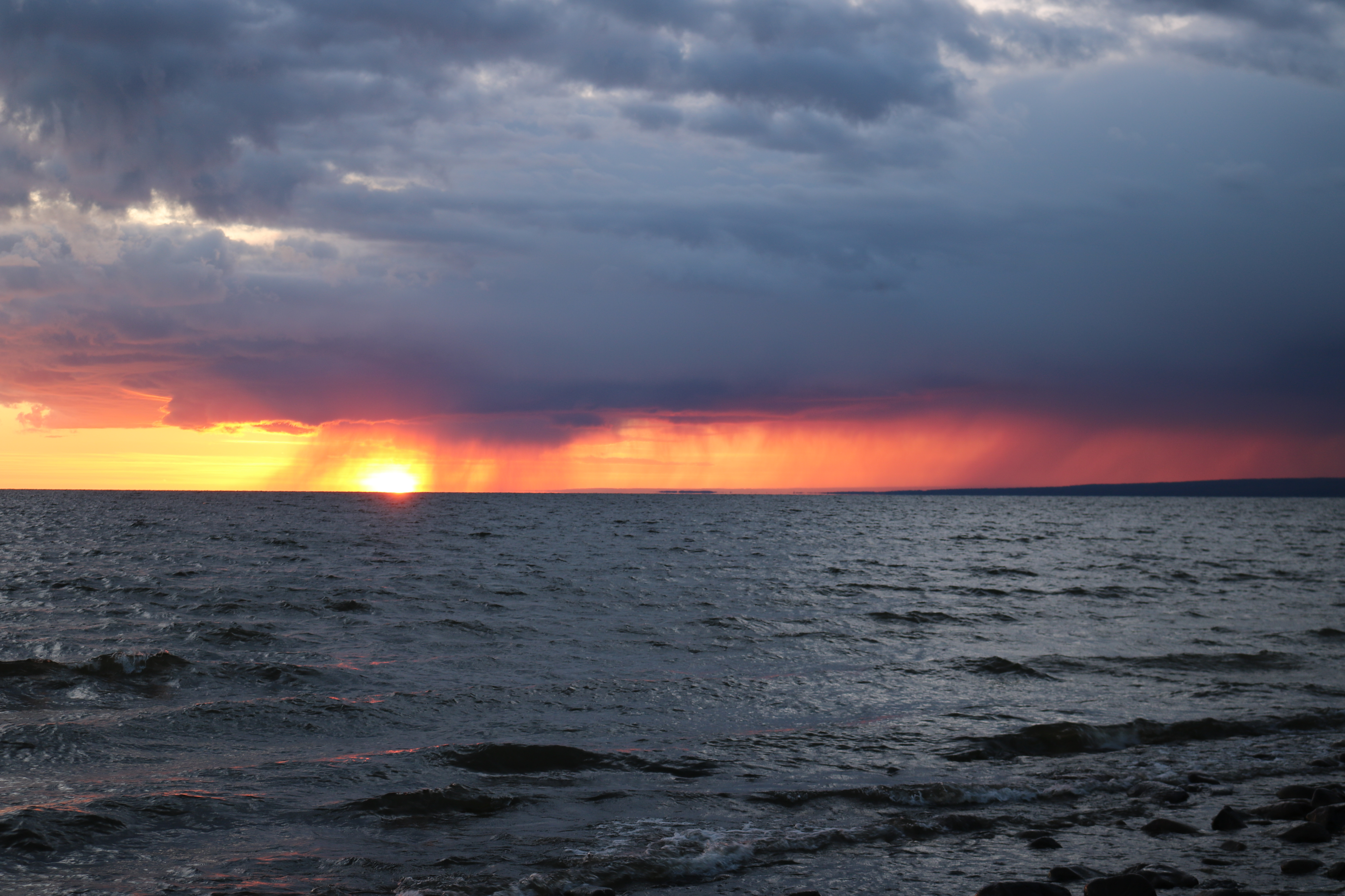
We listened to a multi-part podcast on the rise and fall and rise again of blink-182, one of Cody’s favourite bands. Then, obviously we needed to listen to their whole discography. We eventually arrived at the Marten Campground of the Lesser Slave Lake Provincial Park and got a site right by the lake. This body of water looked expansive enough to pose as the ocean. You cannot see land on the opposite side, it’s so big! We walked along a lovely beach and then toured the four areas of the campground. We were treated to a moody sky, which resulted in a spectacular sunset!
The next afternoon, we planned to ride along the north shore of Lesser Slave Lake on the Trans Canada Trail, our anniversary ride. Sounds epic, right? Well, it started off smoothly and then quickly turned into an all-terrain ride. We first encountered sand, and biking in the sand is a lot like running in the sand. Except you can’t steer or maintain momentum and grit goes into the chain and gears to make a big mess. Once back on our bikes, we got down the trail a bit further and found a mud bog. ATVs had made big holes and ruts, which were now full of muddy water. Somehow neither of us ended up in one of those puddles. Once off that trail, we thought we’d found a cleaner alternative, but it ended up being swampy, too. No problem, we thought. We’ll just turn around and head south on the trail. Great! Right up until we encountered a gate at the campground that we had to get our bikes through. Cody went over and I went under, but during the process I accidentally knocked his bike over and bent the derailleur hanger. For the non-bike mechanics in the crowd, it turns out this small fragile piece of aluminum is critical for shifting gears. If it’s off by a millimetre, the bike doesn’t work properly. So, this seemingly inconsequential accident frustratingly ended our ride early. When we got back, Cody worked on his wounded bike, and I sat there feeling guilty. We then made a fire and cooked a frozen pizza – pretty fancy cuisine to celebrate our third anniversary!
Lac La Biche
The next morning, we packed up in milder weather than we’d had in while – no puffy jackets required! We set out on a rough Highway 88 towards the town of Slave Lake. After three attempts, we finally got into a suitable gas station. We then got onto an equally as rough Highway 2. After driving for about an hour east, the landscape transitioned from dense boreal forest to farm fields. We began to see more hay, canola, wheat and barley fields. Even a large dairy farm, which we hadn’t seen since central BC.
We eventually arrived in Athabasca where we stopped for groceries and ate lunch along the Athabasca River. The town had a nice park area with lots of trees, grass and places to sit. It was so warm that we had to trade our sweaters and pants for t-shirts and shorts. It had been a while since we’d experienced a full day of sun, but summer was still alive and well in Eastern Alberta. The air conditioning was even switched on a few times. As we continued driving, we listened to a few podcasts that were tributes to The Tragically Hip and Gord Downie. After an hour and half, we reached Lac La Biche and Sir Winston Churchill Provincial Park. We got the last site available, and it was only open for one night – the first site we had to reserve since the September long weekend. But we could soon see why the park is a popular choice. Big treed sites and lots of trails for running and biking. After we got settled, we headed out for a 10k loop of the park perimetre, which is on Big Island, with pristine grass trails and gorgeous views of the lake. The loop was so nice that Cody began scheming an invitational cross-country race. Stay tuned for more details on the inaugural edition of the Lac La Biche Big Island Lap 😉 We had pork chops for dinner and made a nice little fire.
After a quick beach stroll the next morning, we jumped on the highway towards the Saskatchewan border. We had lunch in Cold Lake because that was the only place where we could stop after we left Lac La Biche. After passing many hay fields and oil derricks, we crossed over the provincial border.
Though we’re now heading into the flatlands of the Prairies, our plan is to stay as north as possible until eventually dropping south through Manitoba!
Curious about how we got here? Check out our previous posts below:

One Response
I was just beginning to wonder when the next update would be and then there it was. Always such a pleasure to read! So happy you guys are doing the trip this way. Carry on!