The fall colours, greatest lake and beautiful trails welcomed us home
After three months of travelling, we finally reached Ontario!
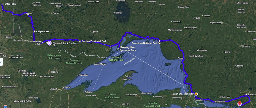
Caliper Lake Provincial Park
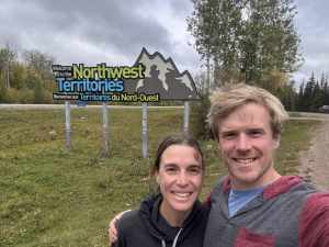
We packed up just before the rain started in Manitoba, but that meant another rainy-day drive. It’s days like these that make me extra grateful that we are camping in a trailer and not setting up and tearing down wet tenting gear. We arrived at the Manitoba-Ontario border and took an obligatory provincial sign photo.
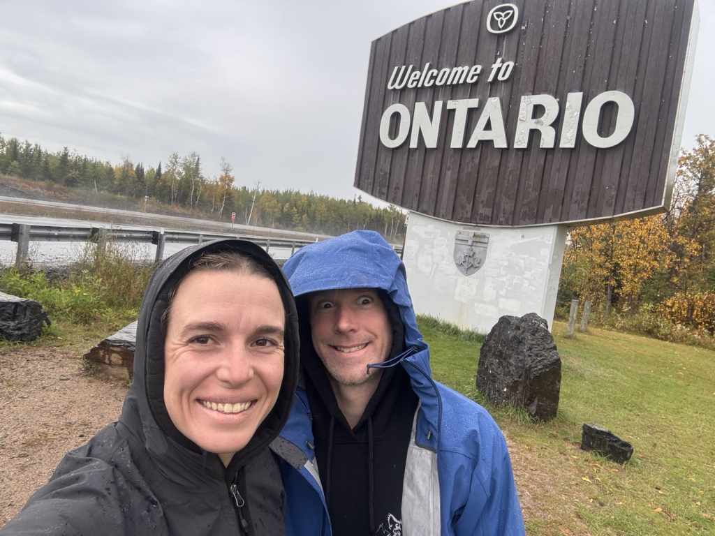
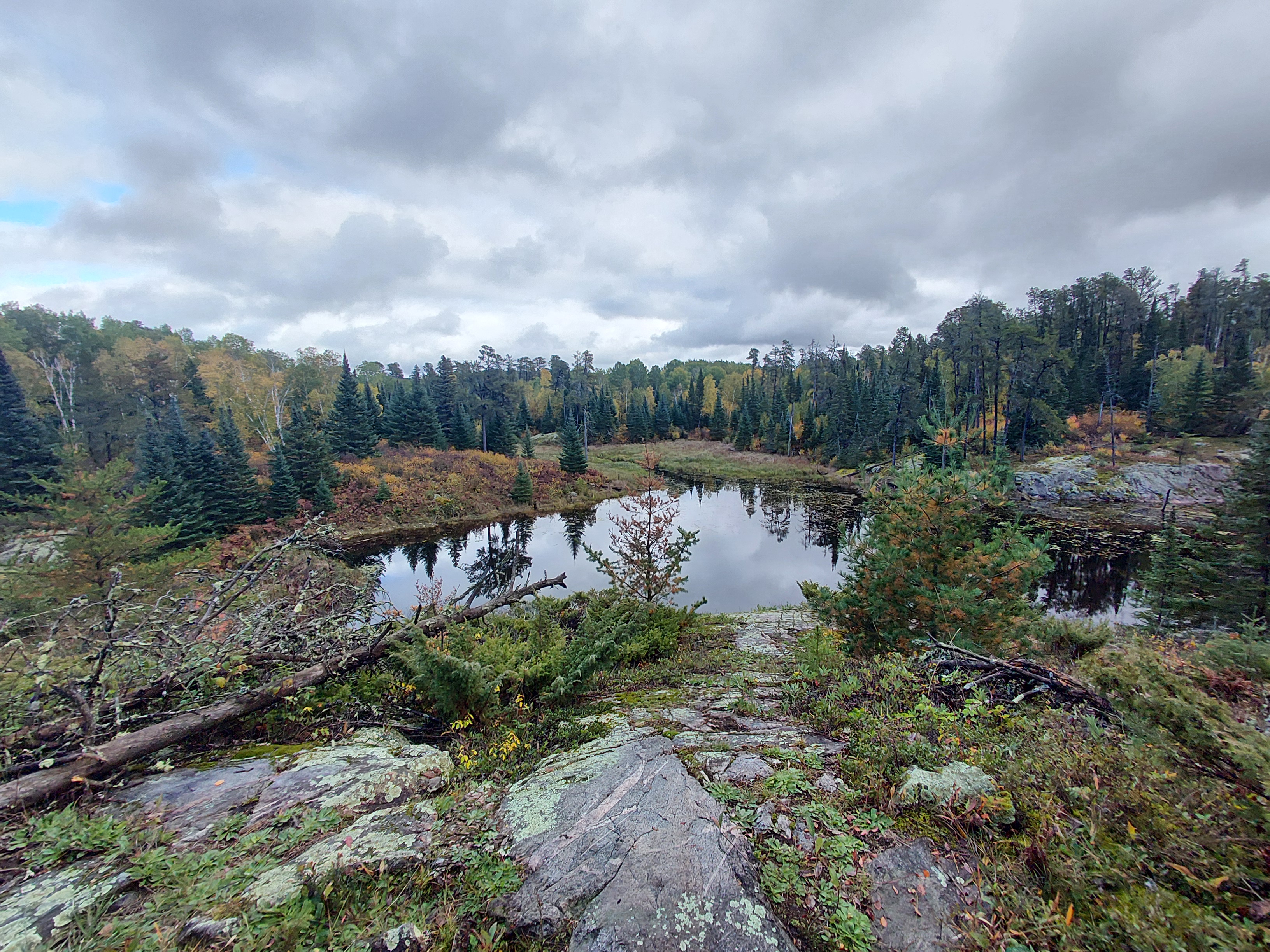
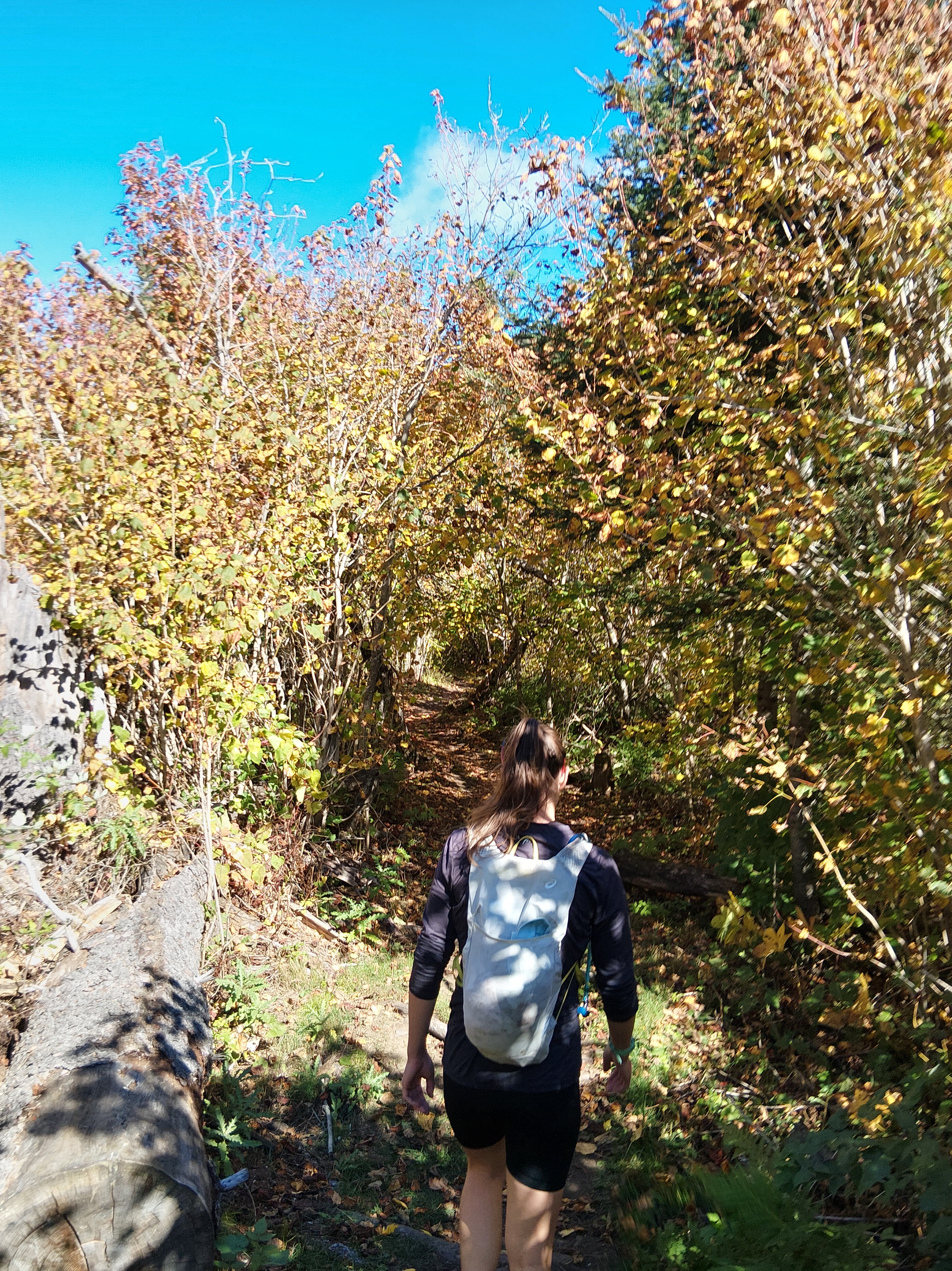
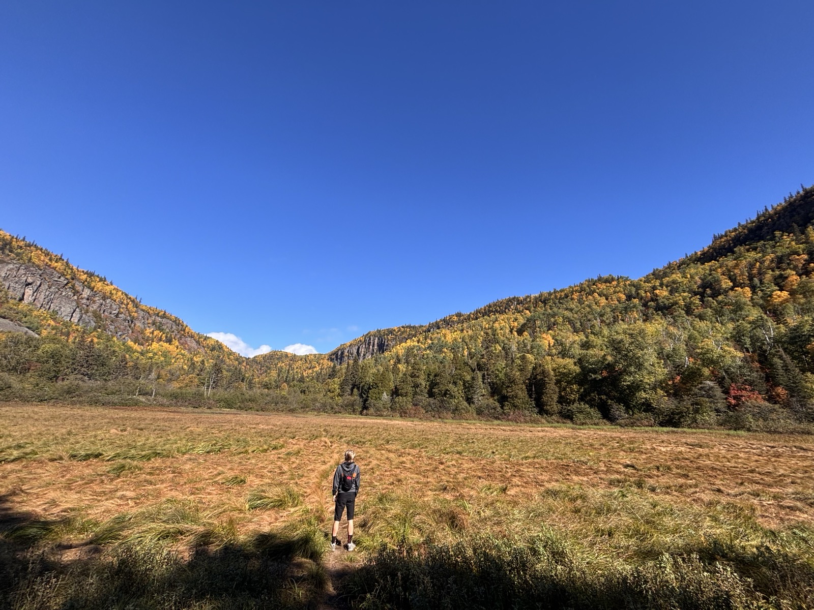
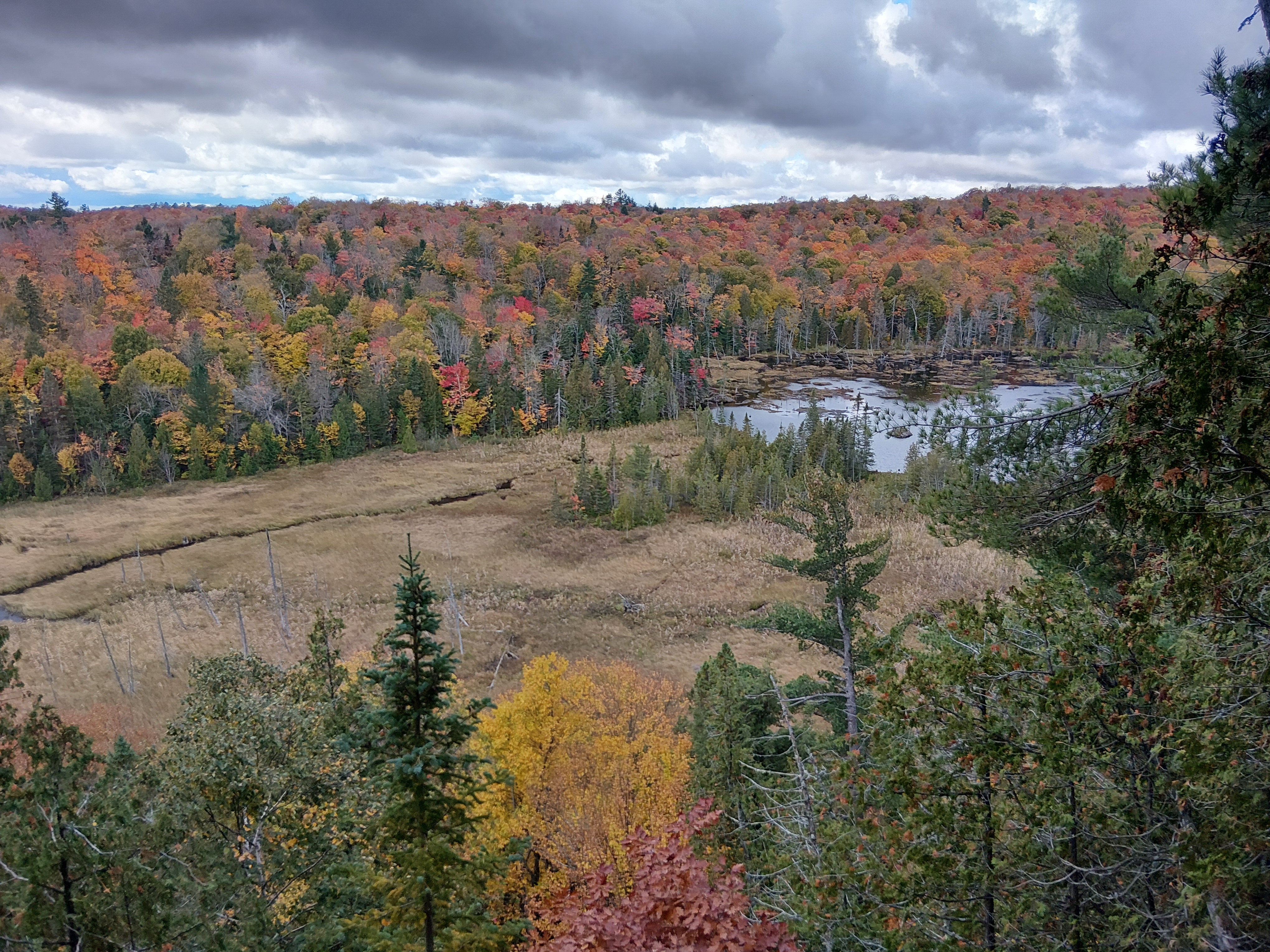
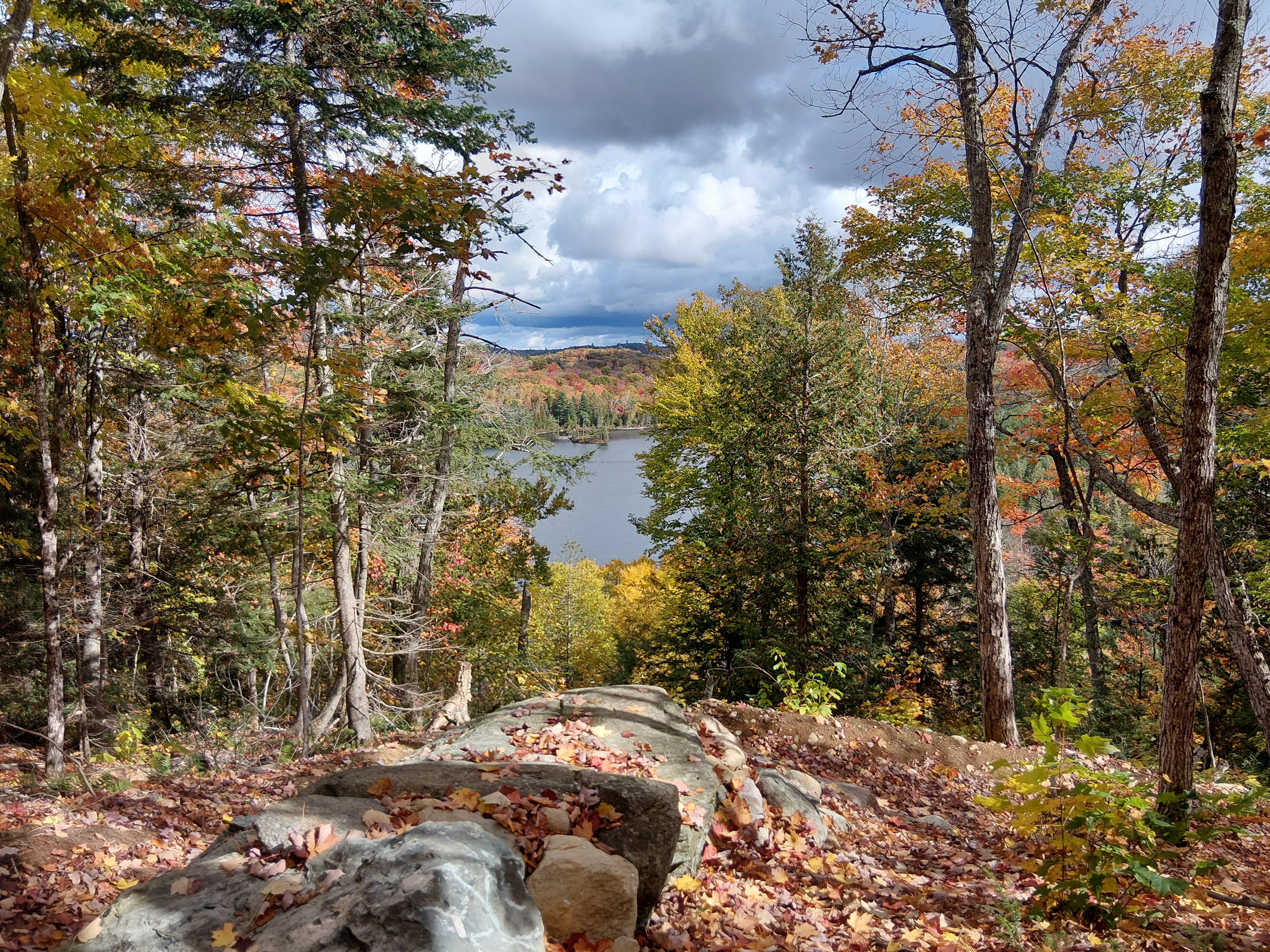
I’m not going to lie – a great sense of relief entered my body when we crossed into our home province. Maybe it was the Ontario license plates, smoother roads, familiar sights or being just 18 hours away from our families. We stopped in Kenora for groceries, where we were happy to discover the town had evolved to putting their milk in jugs and not plastic bags like the rest of Ontario! We continued through Lake of the Woods – the land of endless granite rock, trees, lakes and islands. We saw trees showing off the full fall leaf spectrum of green, yellow, orange and red.
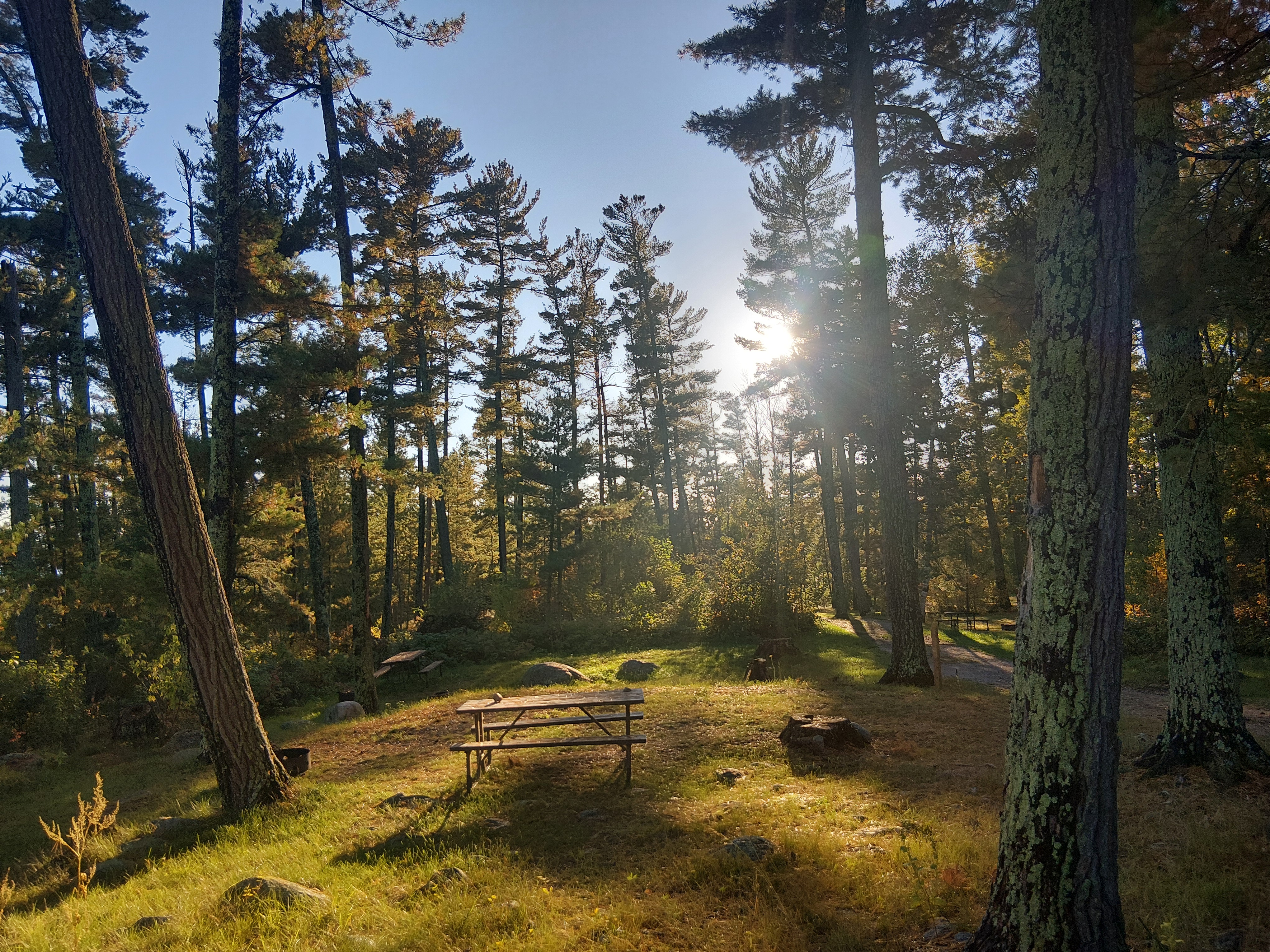
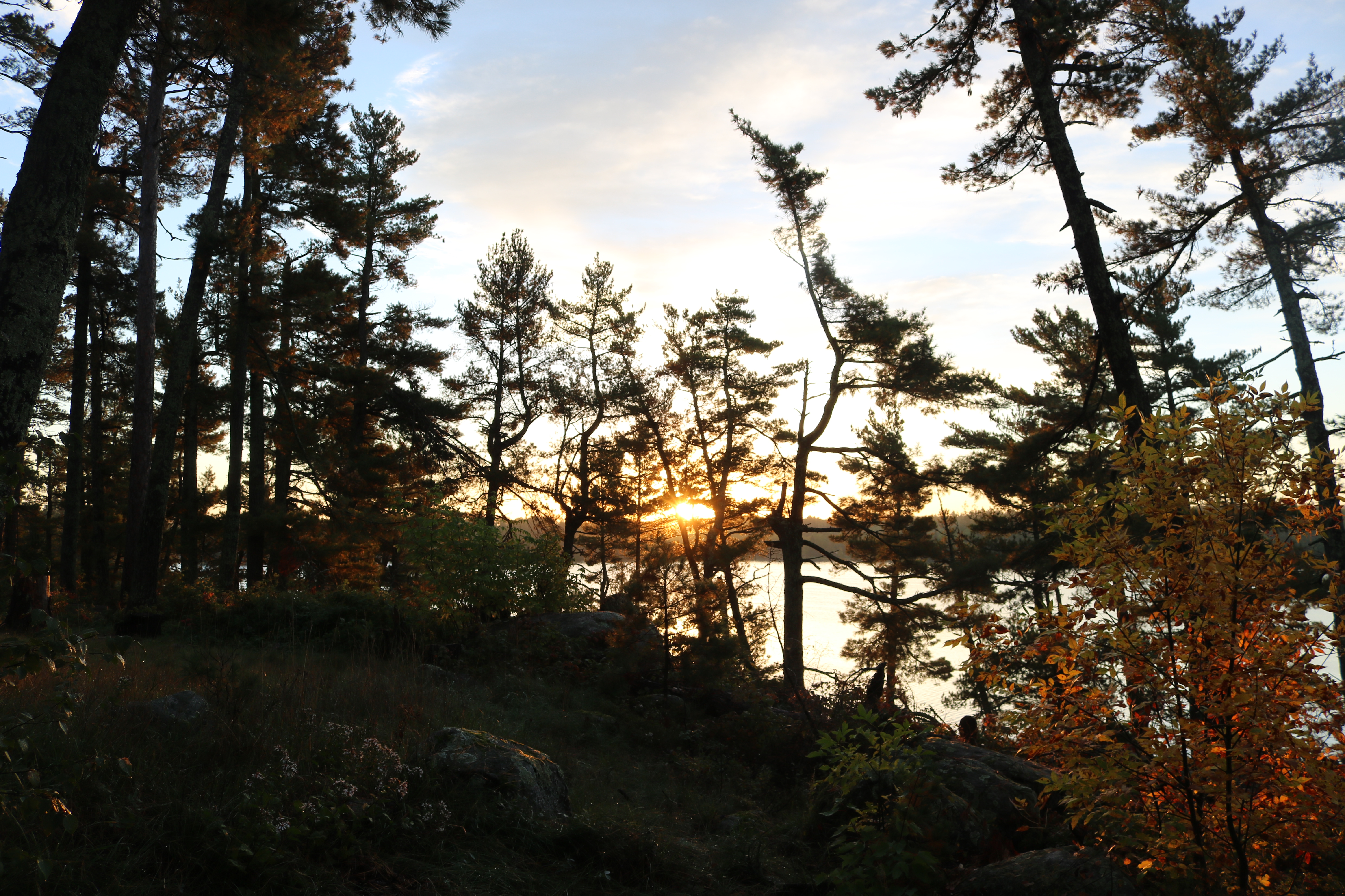
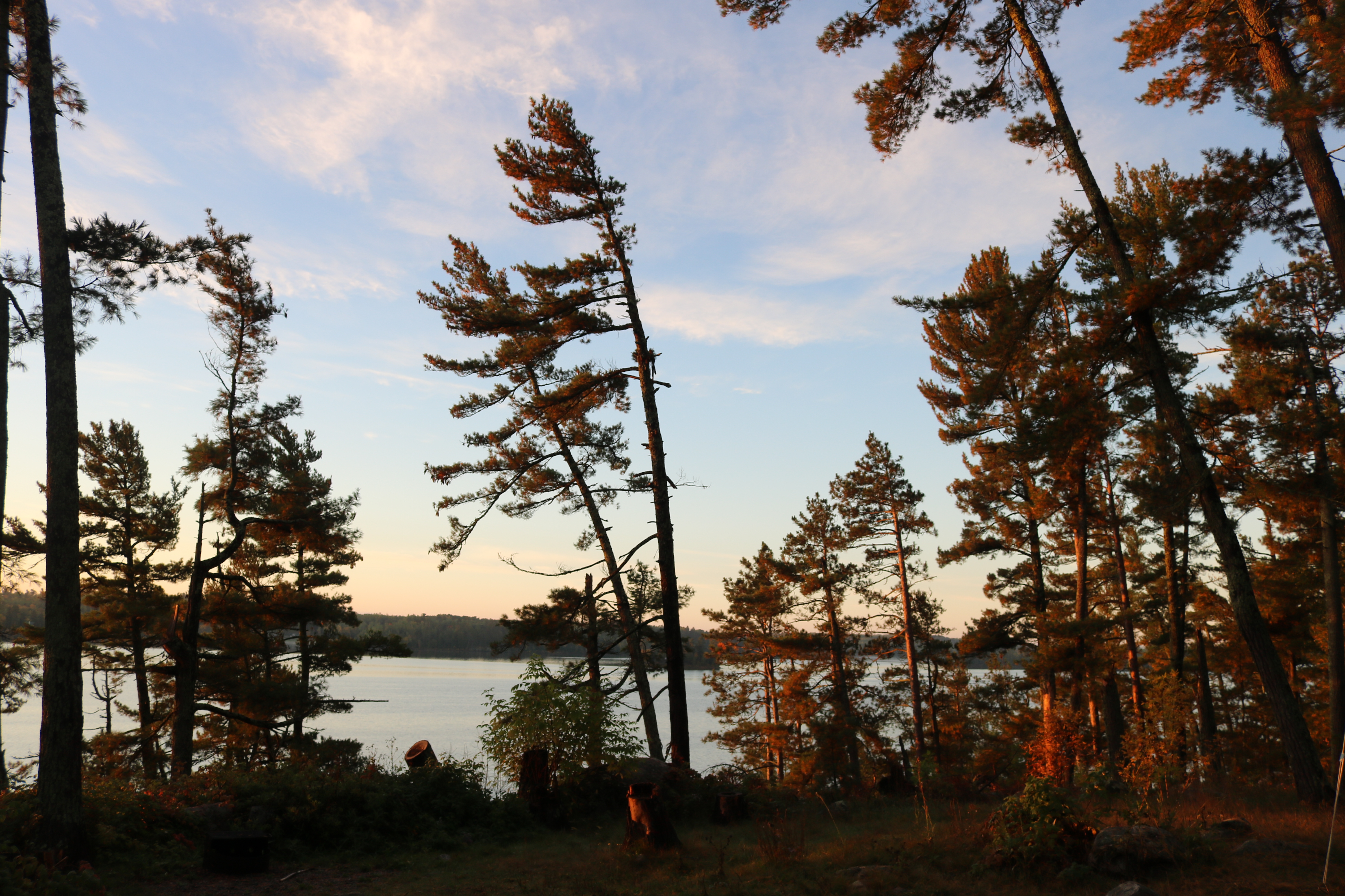
We pulled into Caliper Lake Provincial Park and found the best spot along the lake. It was sheltered enough we couldn’t see our neighbours (though, no one else camped in our area) and elevated enough that we had a lovely lake view outside our window. The cool and rainy weather meant a cozy afternoon inside.
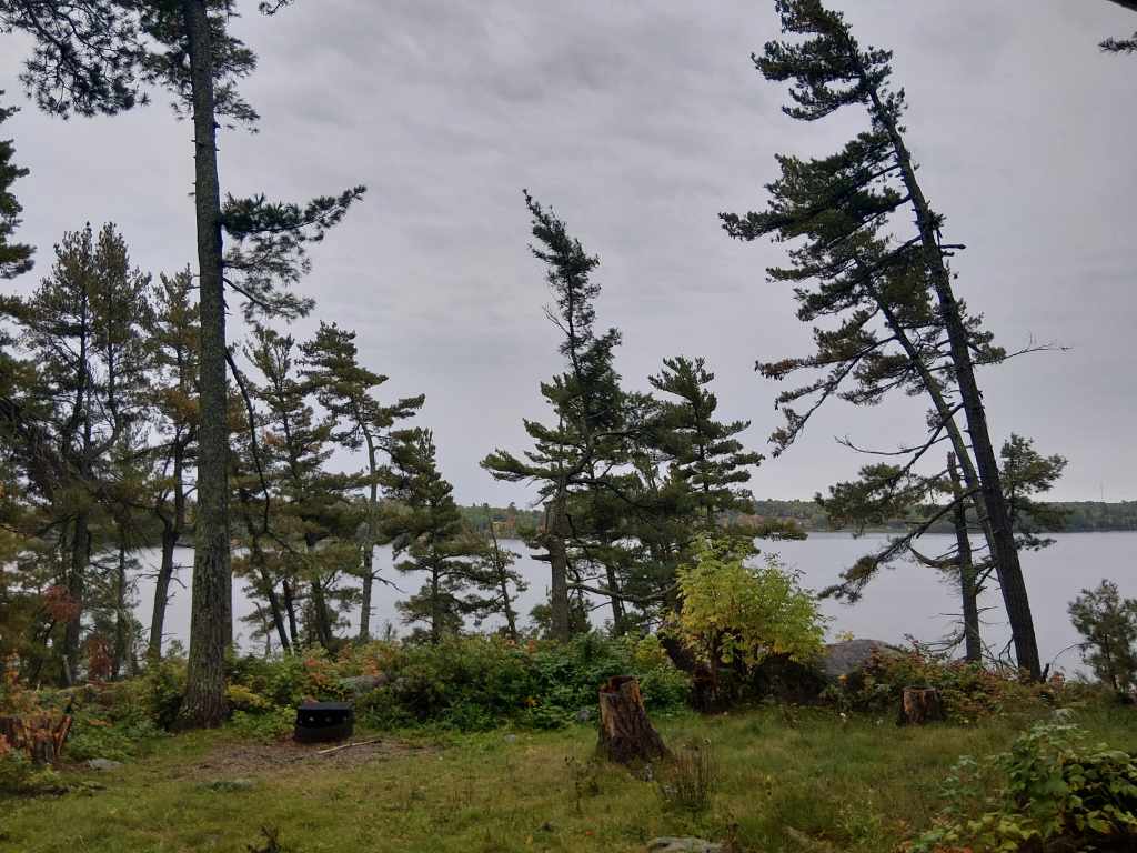
A fun side note: Ontario Parks is the most expensive provincial/territorial camping we’ve done. After getting used to between $20 and $30 a night through Western and Northern Canada, spending over $45 a night in Ontario was a shock. Generally, Ontario Parks have services like sani-dumps and freshwater fill stations, along with full washrooms and hot showers, but the price still seemed a bit excessive to us.
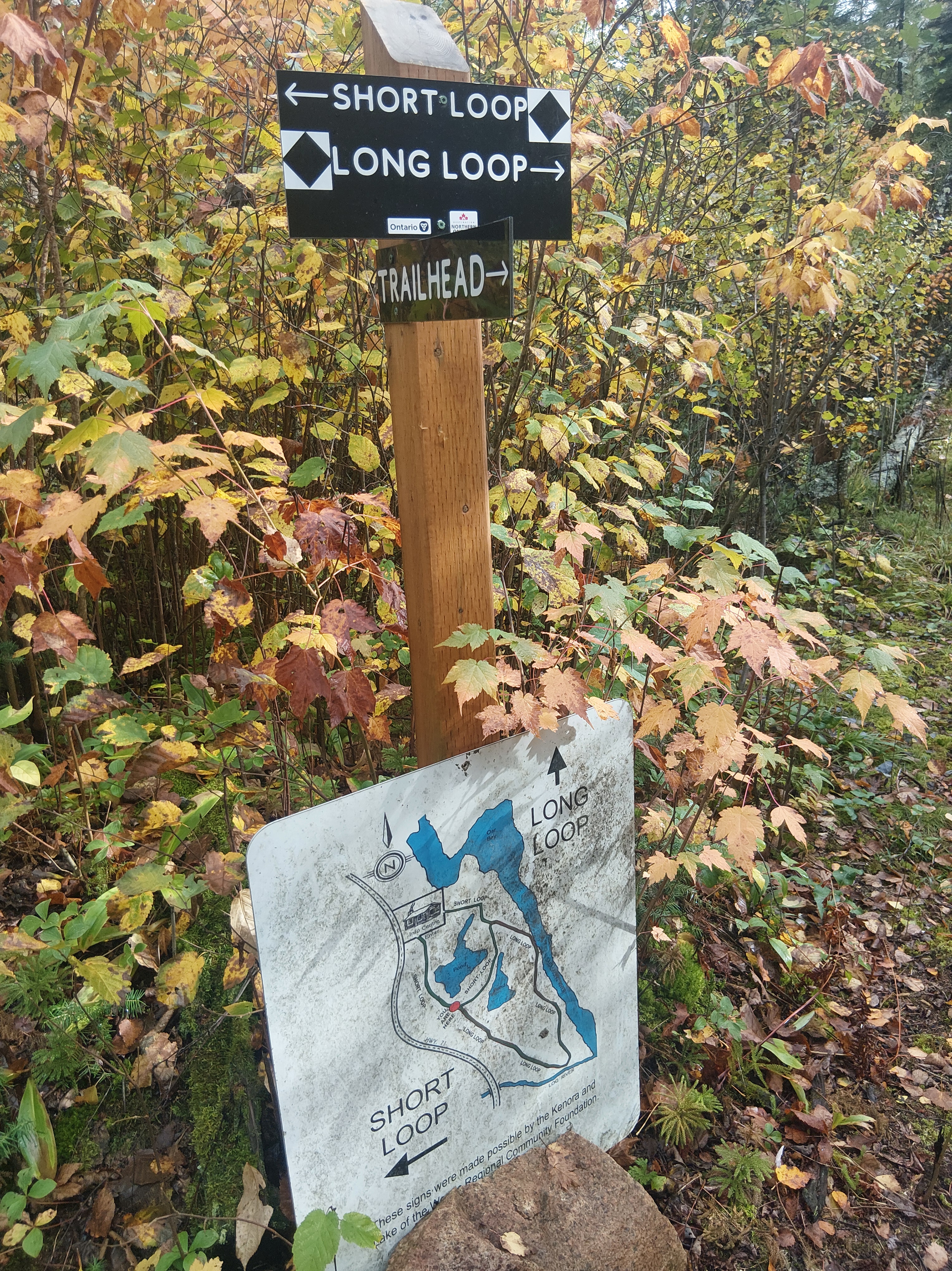
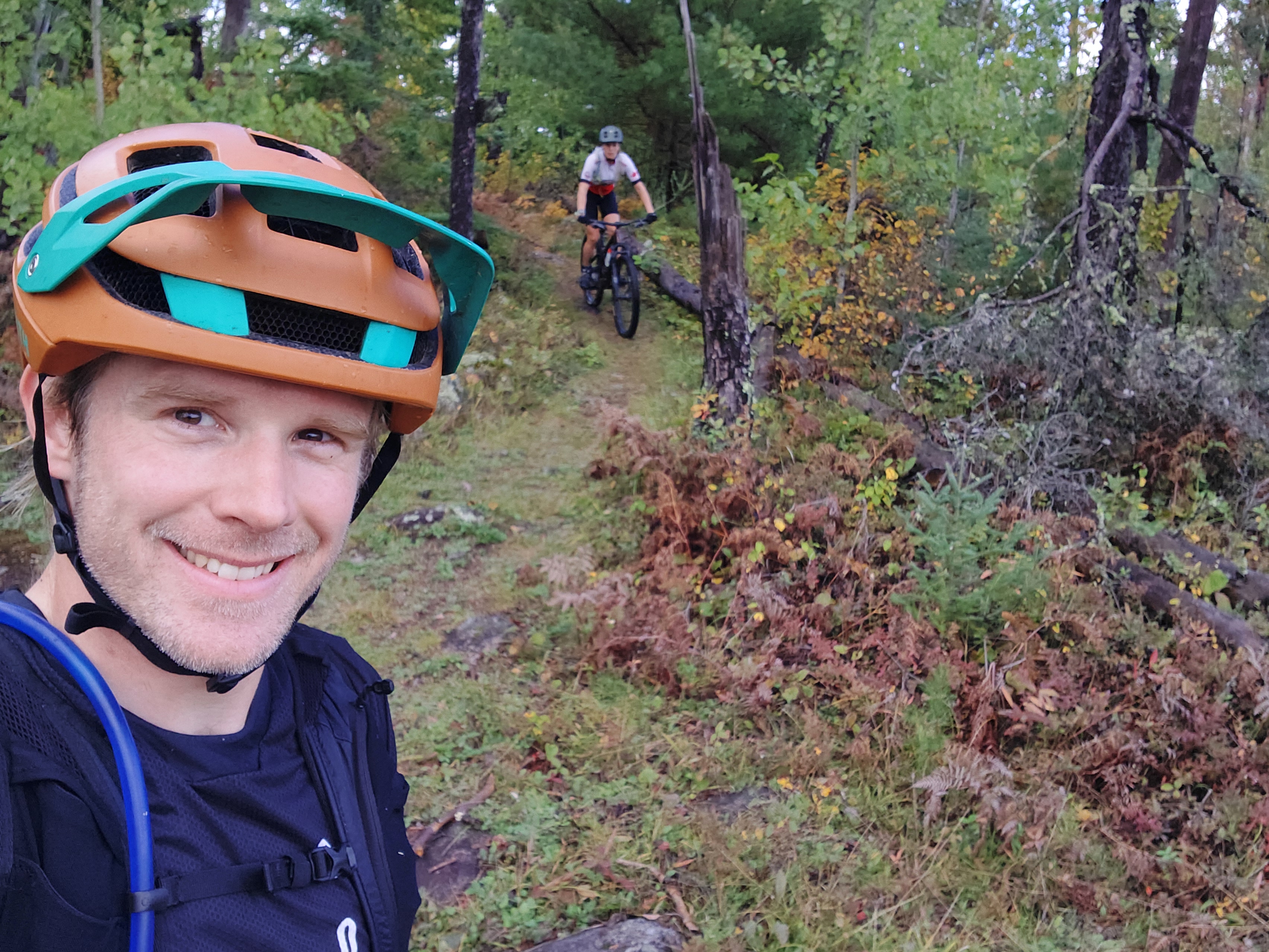
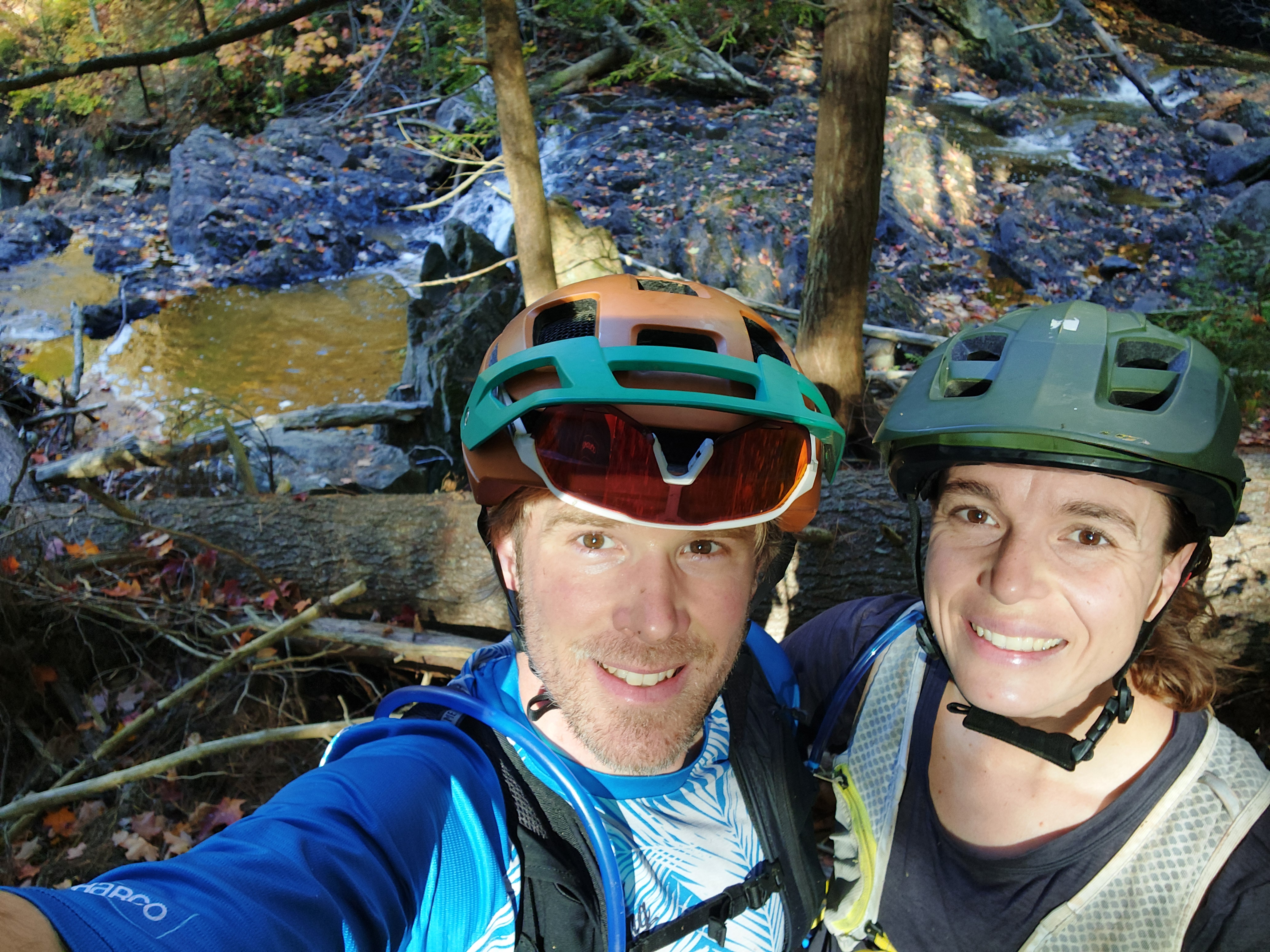
After a solid 30 hours of heavy rain, we ventured out for a mountain bike ride. It had been weeks since we rode purpose-built mountain bike trails and were excited about the prospect of nearby routes in Nester Falls. The first loop was just a few kilometres from the campground and ought to be a gentle re-introduction to singletrack tech – I’ve ridden Coastal and Northern Rocky Mountains for Pete’s sake. Ontario trails should be no problem. Well, I was humbled quite quickly as these trails were mostly underwater from the deluge of rain and every sharp rock had a slippery moss coating. The hike-a-bike 2-kilometre loop certainly was not the confidence-boosting-feel-good ride I had anticipated.
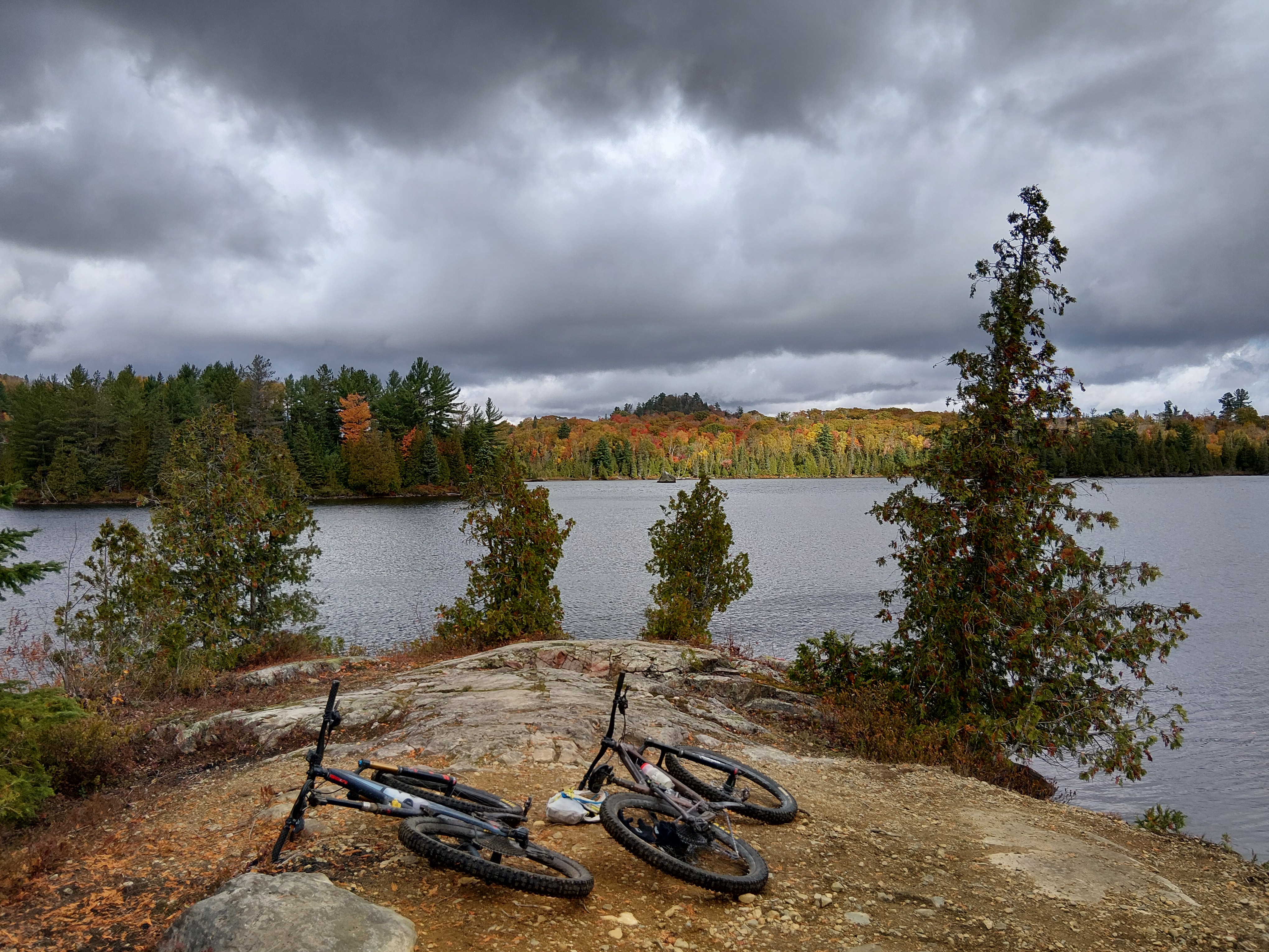
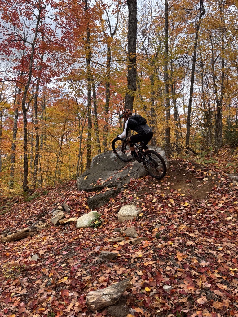
So, we shortened that section of the planned route and pedalled farther down the road to the Nester Falls Red Pine trails. Here we found trails built for bikes – phew! We had a short climb up and then several options to ride back down. I think we covered the whole network in about 30 minutes, but it was nice to be back on rideable mountain bike trails! We hammered back down the side of the highway and returned to our campsite to see nearby campers also with BC license plates. The couple from Delta spent the month driving out to Prince Edward Island and were on their return trip home. We were treated to a sunny evening and enjoyed Pad Thai for dinner.
Quetico Provincial Park
We packed up and bid farewell to our BC neighbours. We turned south out of Caliper Lake to embark on a sunny and windless driving day. We drove through Emo (while listening to the TBS and Brand New) and then Fort Frances, which is right on the Minnesota border. Along the way we saw many orange shirts and ceremonies honouring Truth and Reconciliation Day.
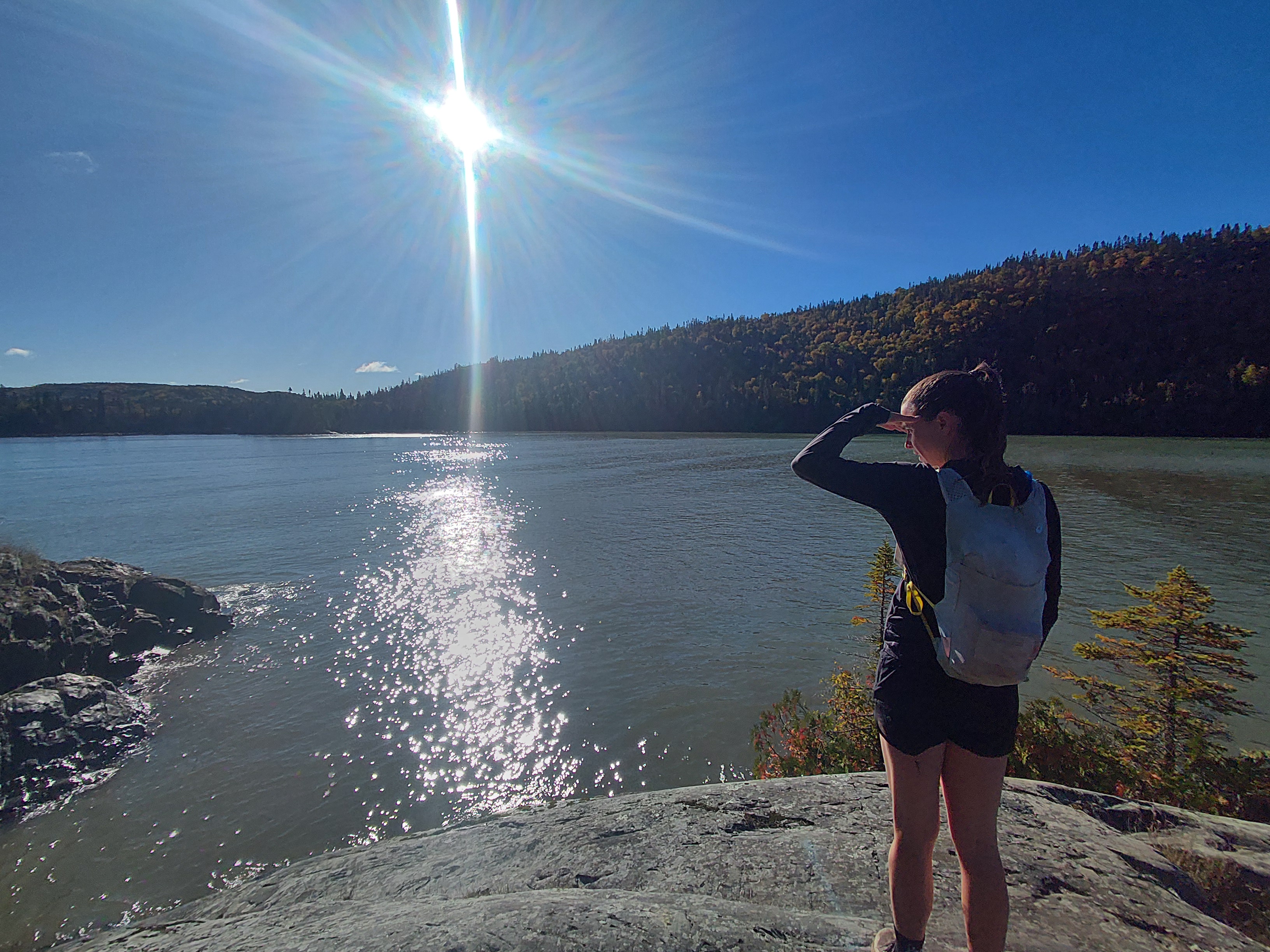
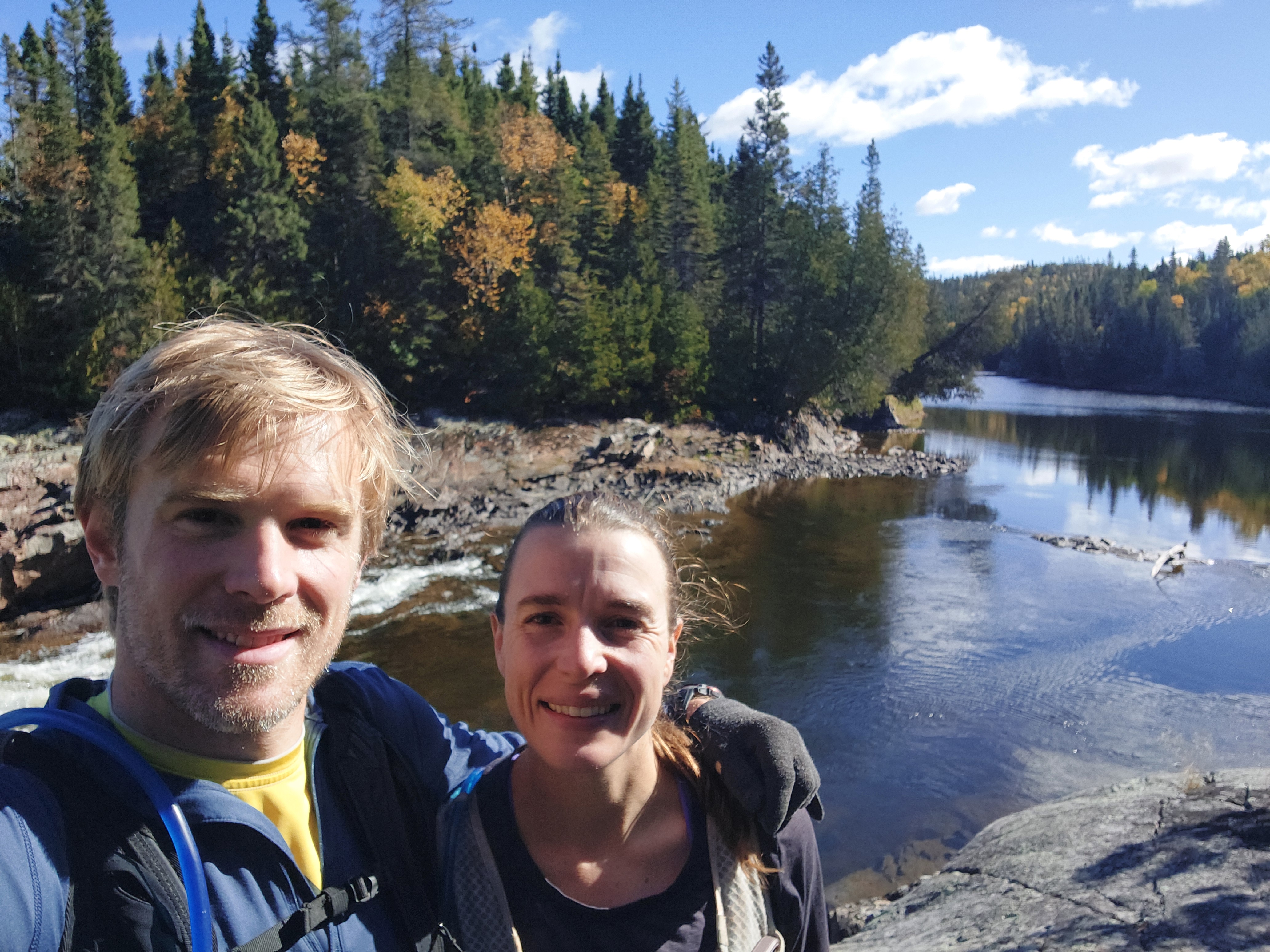
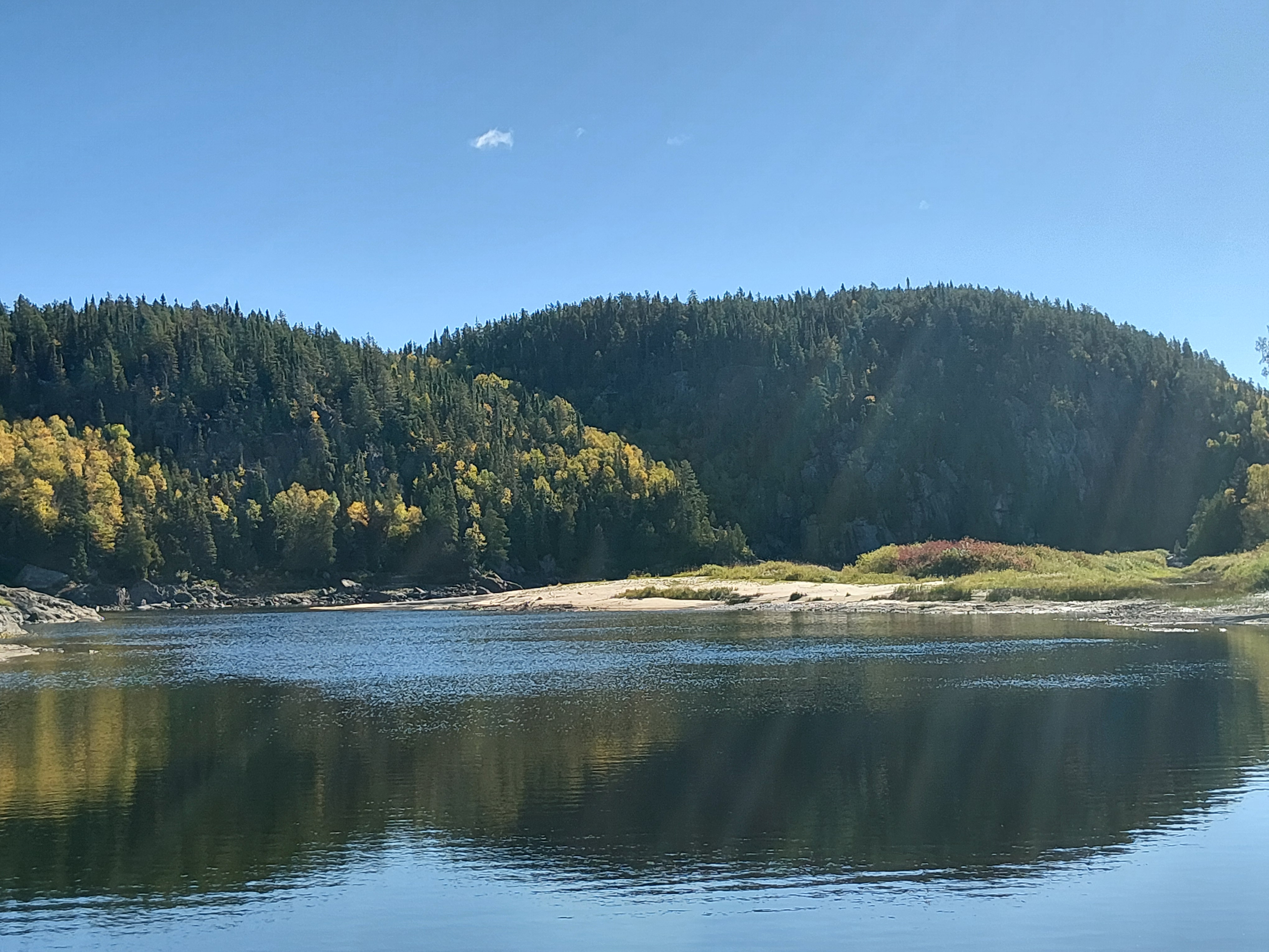
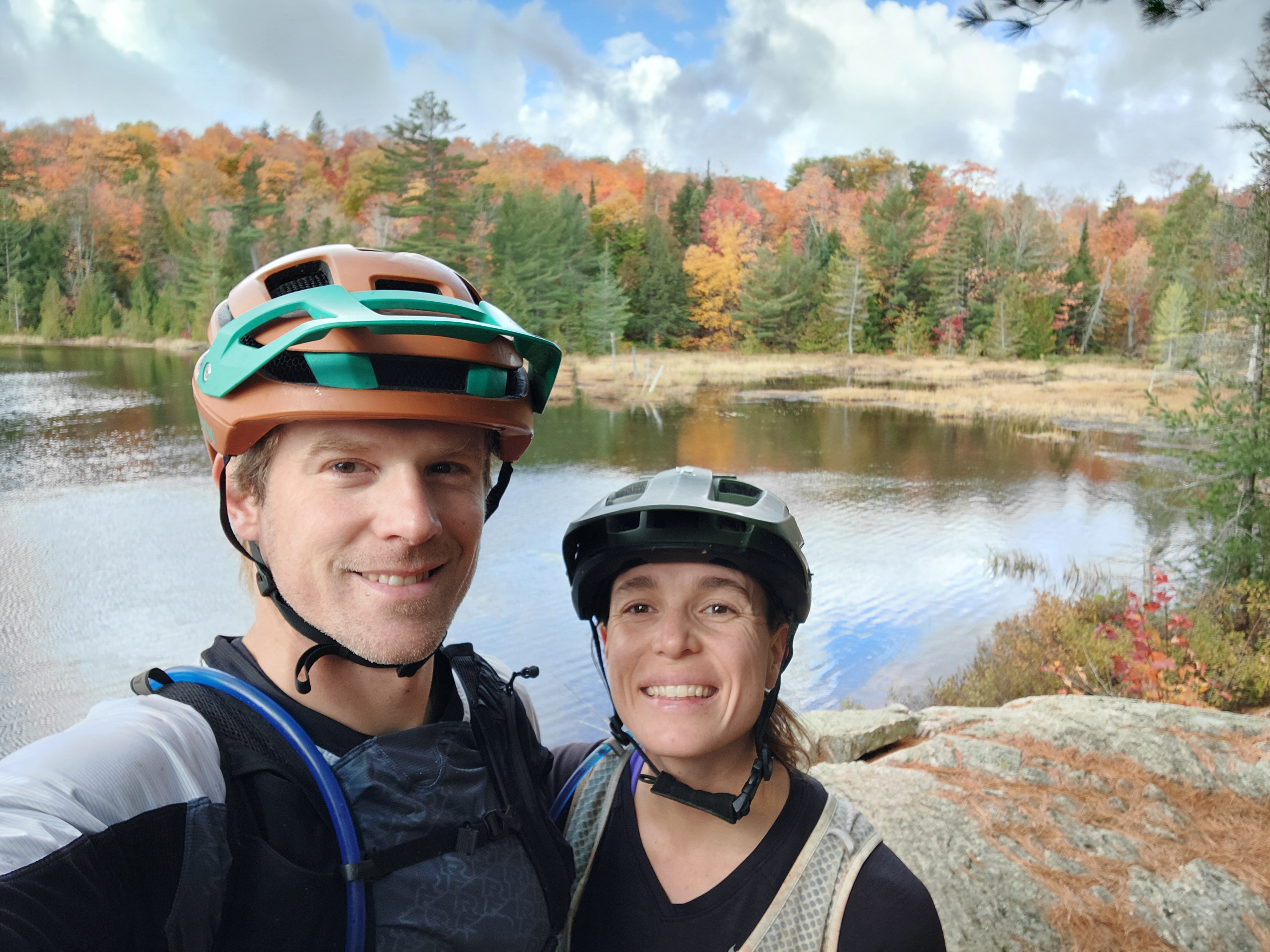
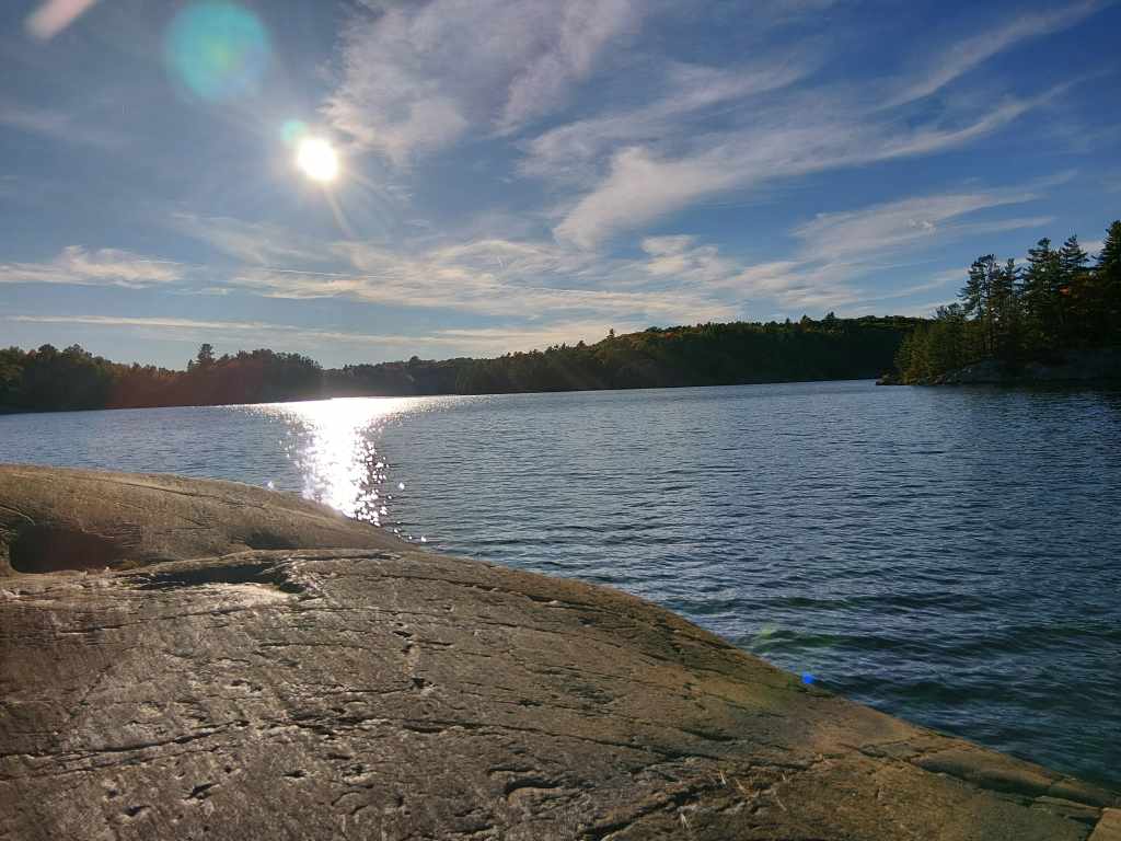
We drove past the turnoff for Atikokan and arrived at Quetico Provincial Park, an expansive area covering over 1 million acres. The park is mostly wilderness camping but does have one car campground at Dawson Trail. Our site was in the Chippewa loop right on French Lake, with a nice big rock slab along the shore for basking in the sun. After getting settled, we headed out on a 12k trail run to French Falls. The trail was moderately technical with slick roots and rocks but thankfully the route didn’t have much elevation gain. We ran along the lake, through mature forests, around quiet ponds and through a few wet bogs. We marvelled at the falls for a few minutes, imagining how even more turbulent the water would be in the spring. Incredibly, the air and water temperatures made it inviting enough to jump in the lake. The rocky point was a perfect diving platform into French Lake below. After a refreshing two minutes, we warmed up in the sunshine like lizards. We then watched an early sunset, ate leftovers and sat by the fire.
Sleeping Giant Provincial Park
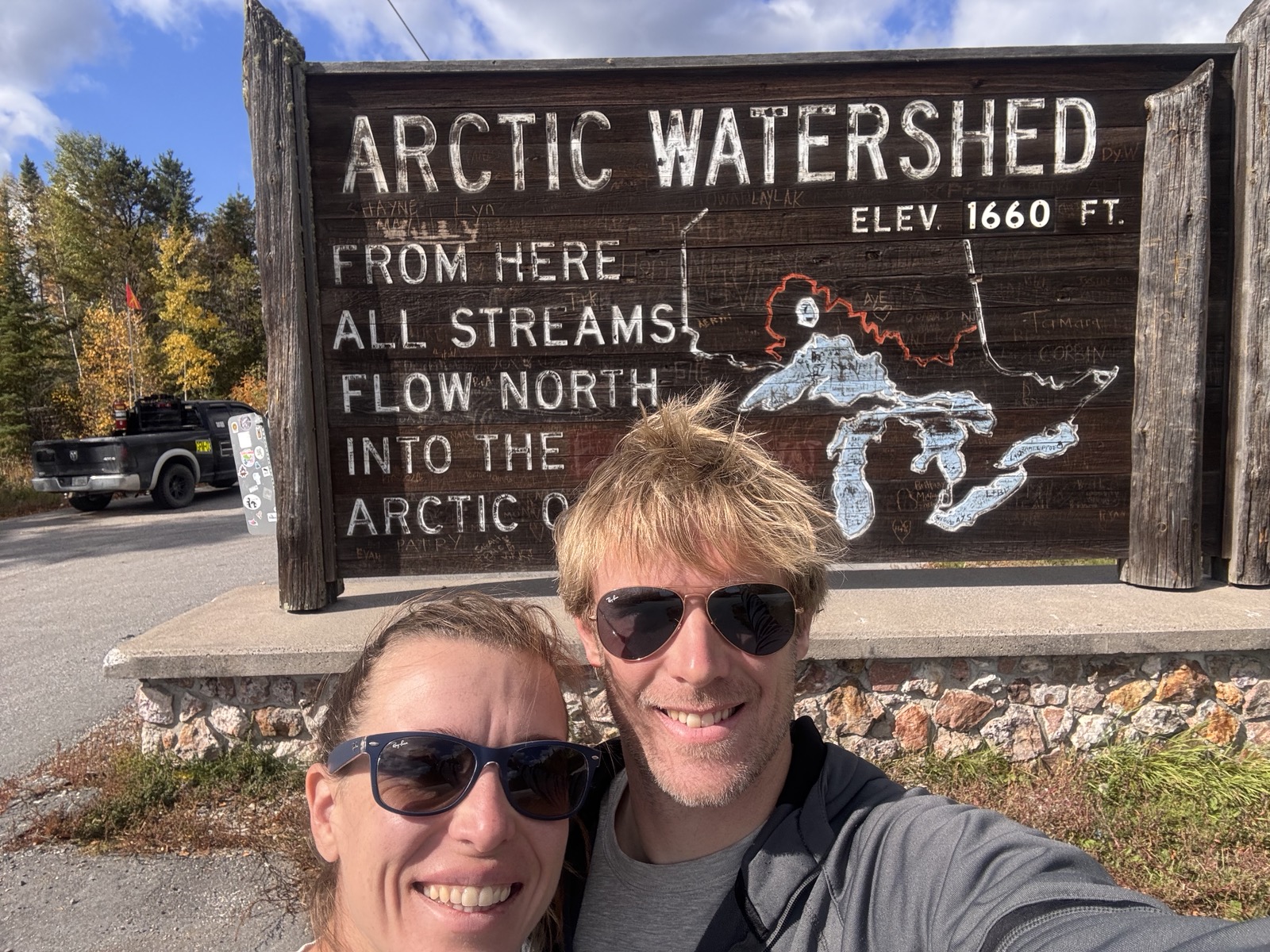
The later checkout time at Ontario Parks meant we could head out for a 6k campground run before hitting the road. The air had noticeably shifted overnight, and fall seemed to announce its presence. Thankfully, the sun still had lots of strength, even if the wind cut right through you. We set off due east and stayed true most of the sunny and windy drive. We stopped at the continental divide where the water flows north into the Arctic Ocean by way of Hudson Bay.
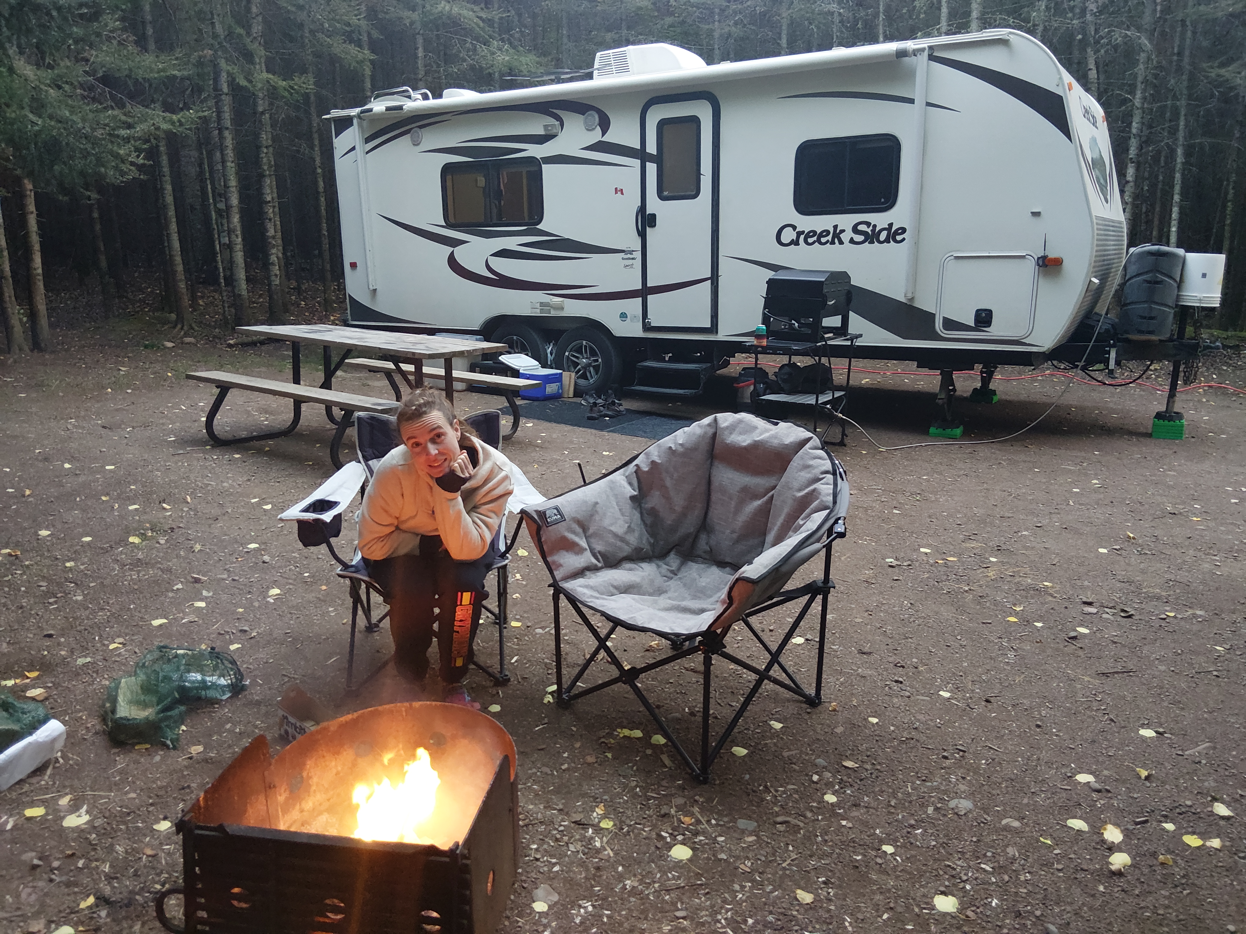
Somewhere along the drive, we crossed into the eastern time zone and lost an hour. By late afternoon, we made it to Thunder Bay and added another tally to our trips to Canadian Tire. Coming out of the city along Highway 11 showed incredible views across THE Thunder Bay towards Sleeping Giant. The landscape could have passed for mountains, I think. Between the fall colours and blue water below, the drive was spectacular! After about 45 minutes, we arrived at Sleeping Giant Provincial Park on Marie Louise Lake. There, we met another couple from just outside Vancouver. They had been on the road since May and were making their way home from a trip to Newfoundland and Labrador. To wear off some of the sugar high from a box of Timbits and an Ice Capp, we walked around the some-170-site campground. When we got back, we had steak, potatoes and salad and then tried to sit by the fire without getting blown away.
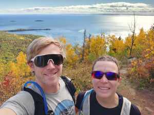
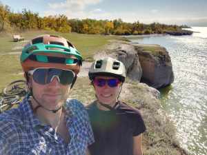
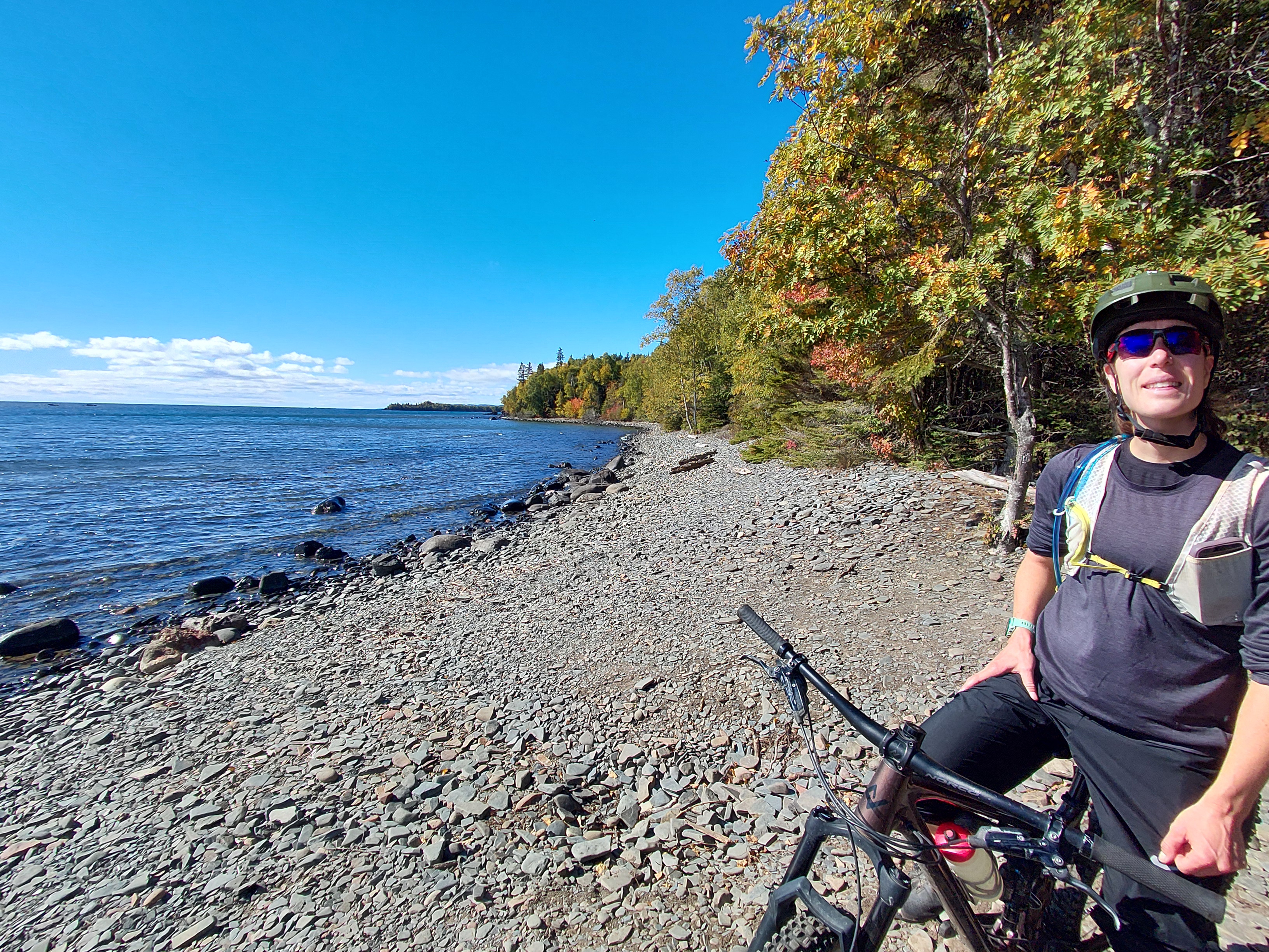
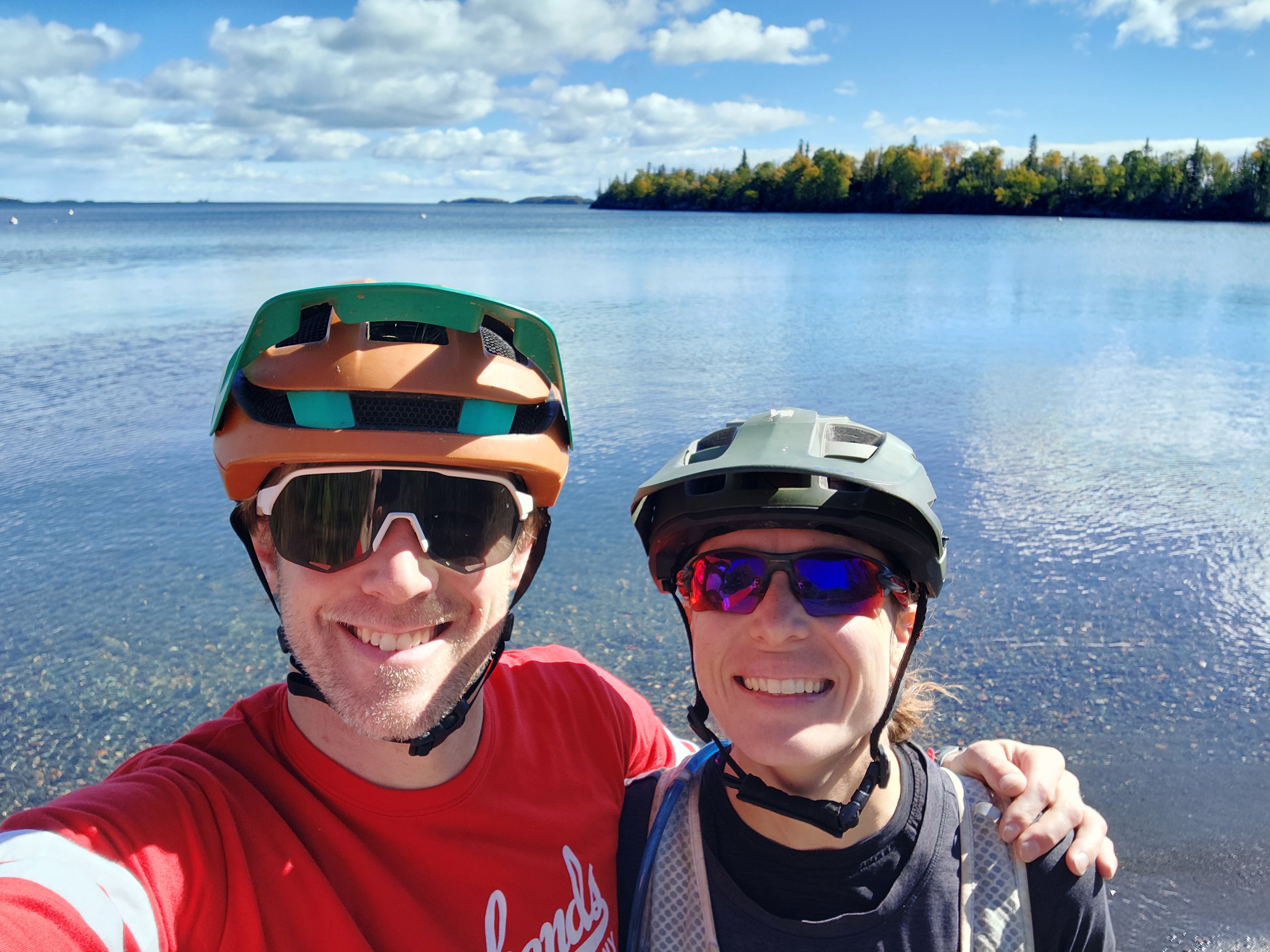
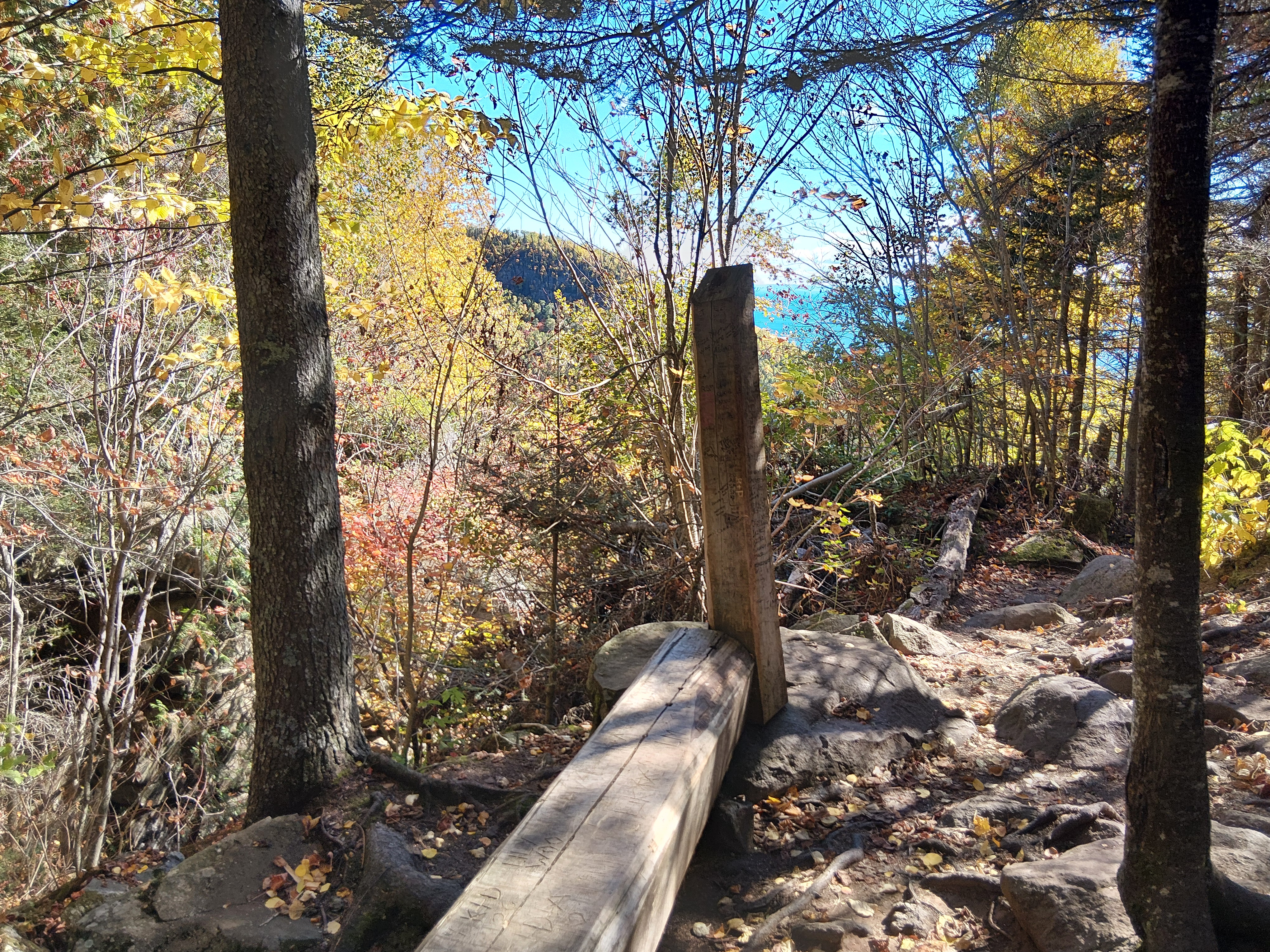
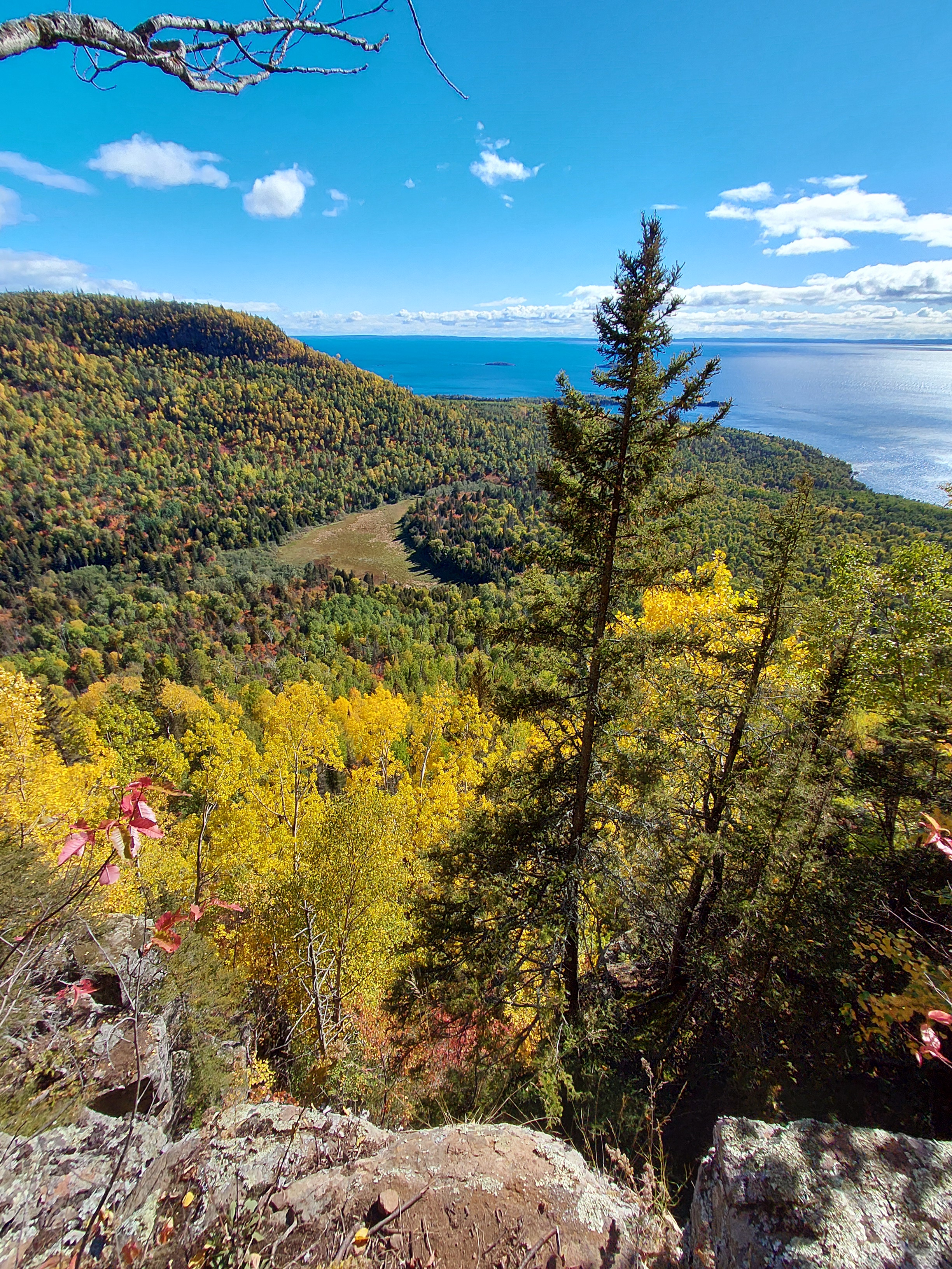
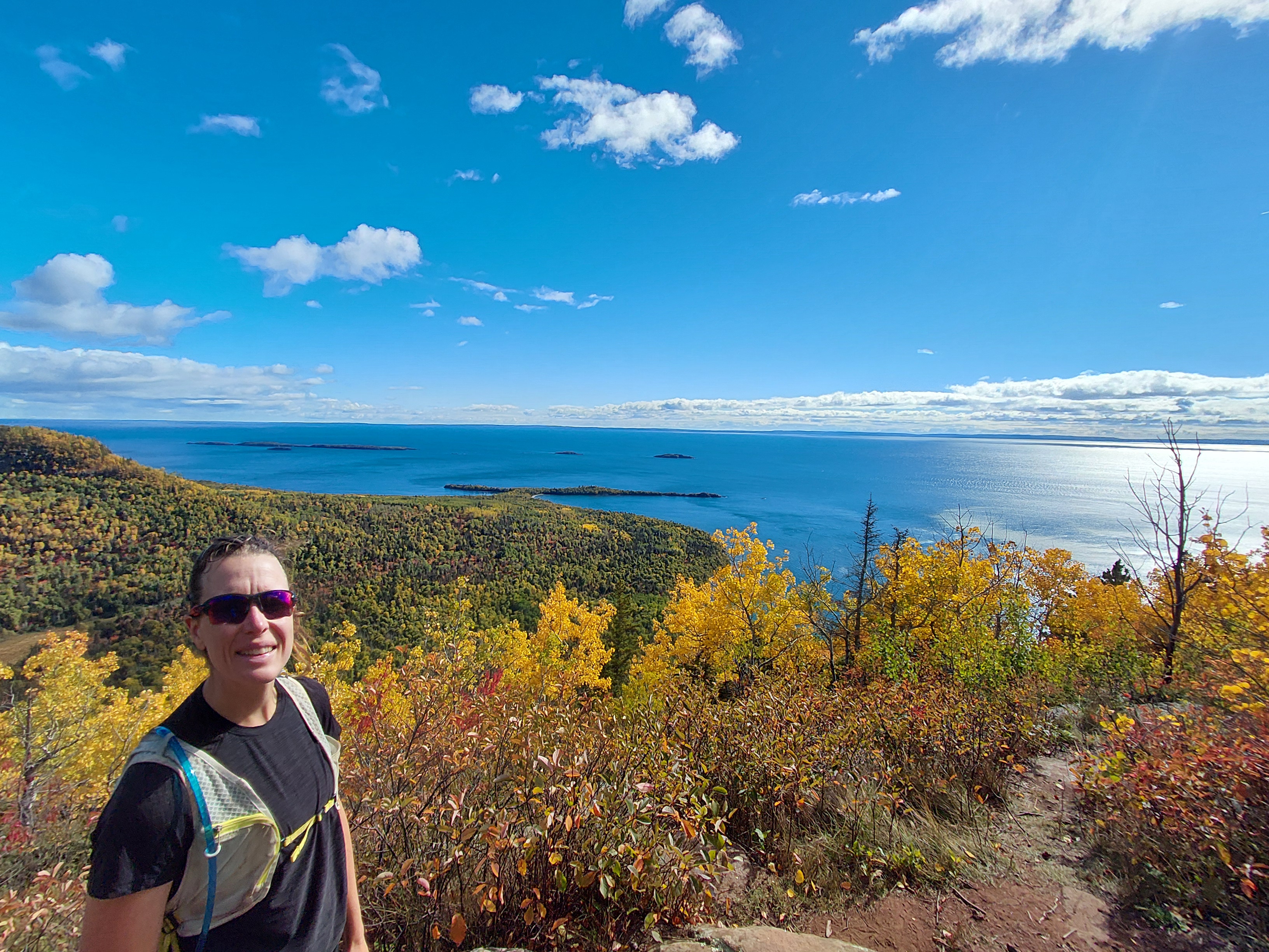
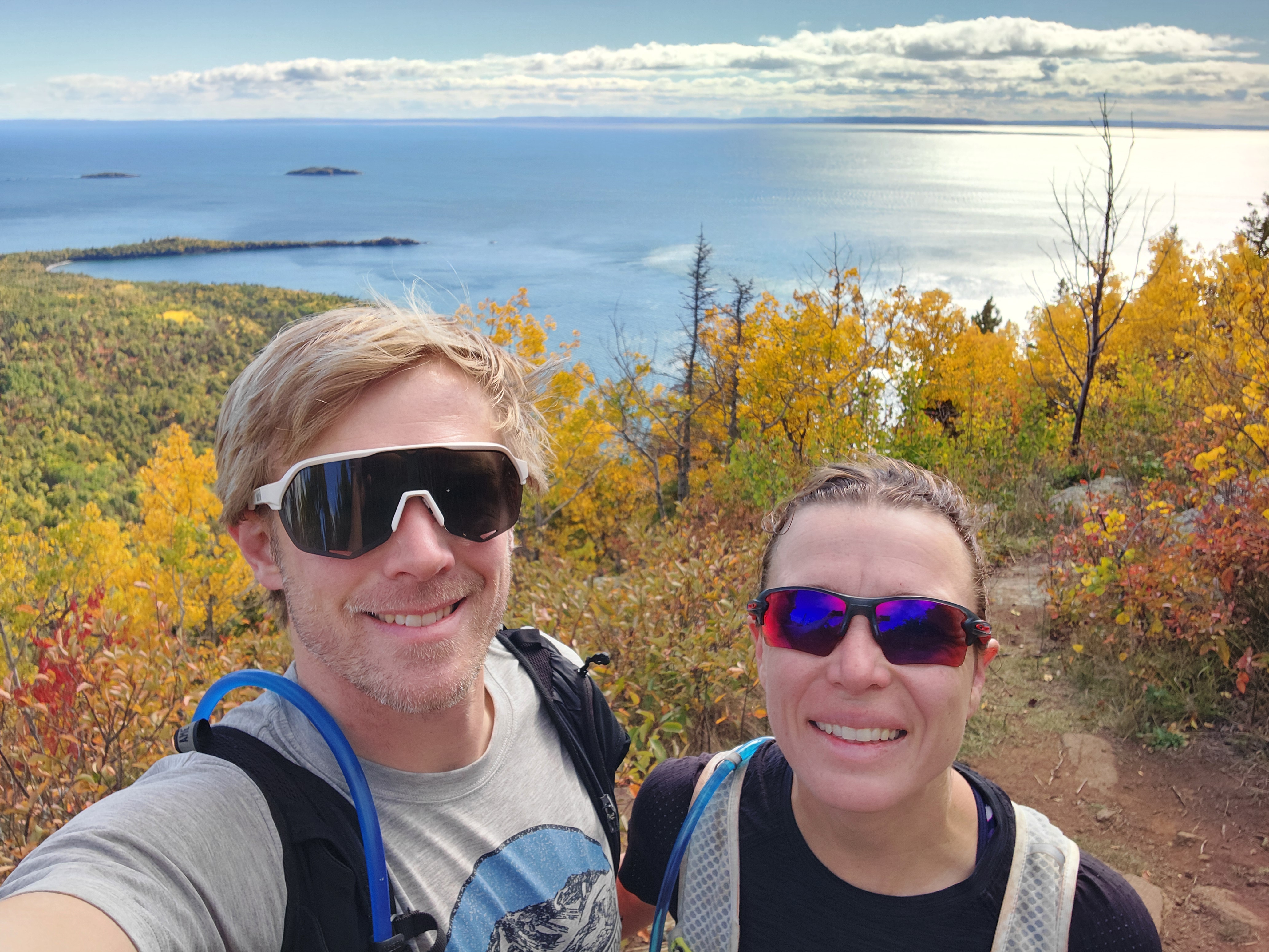
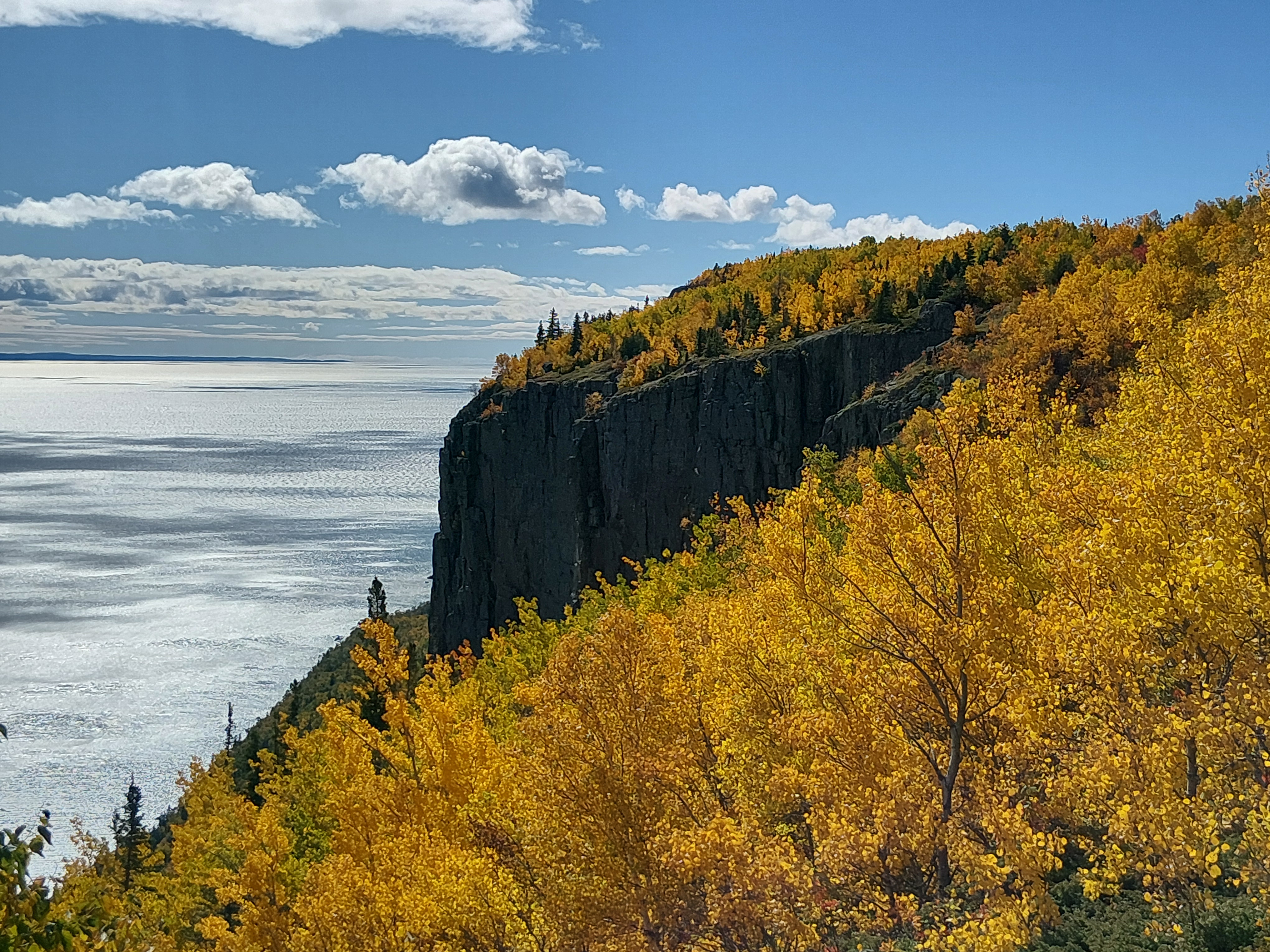
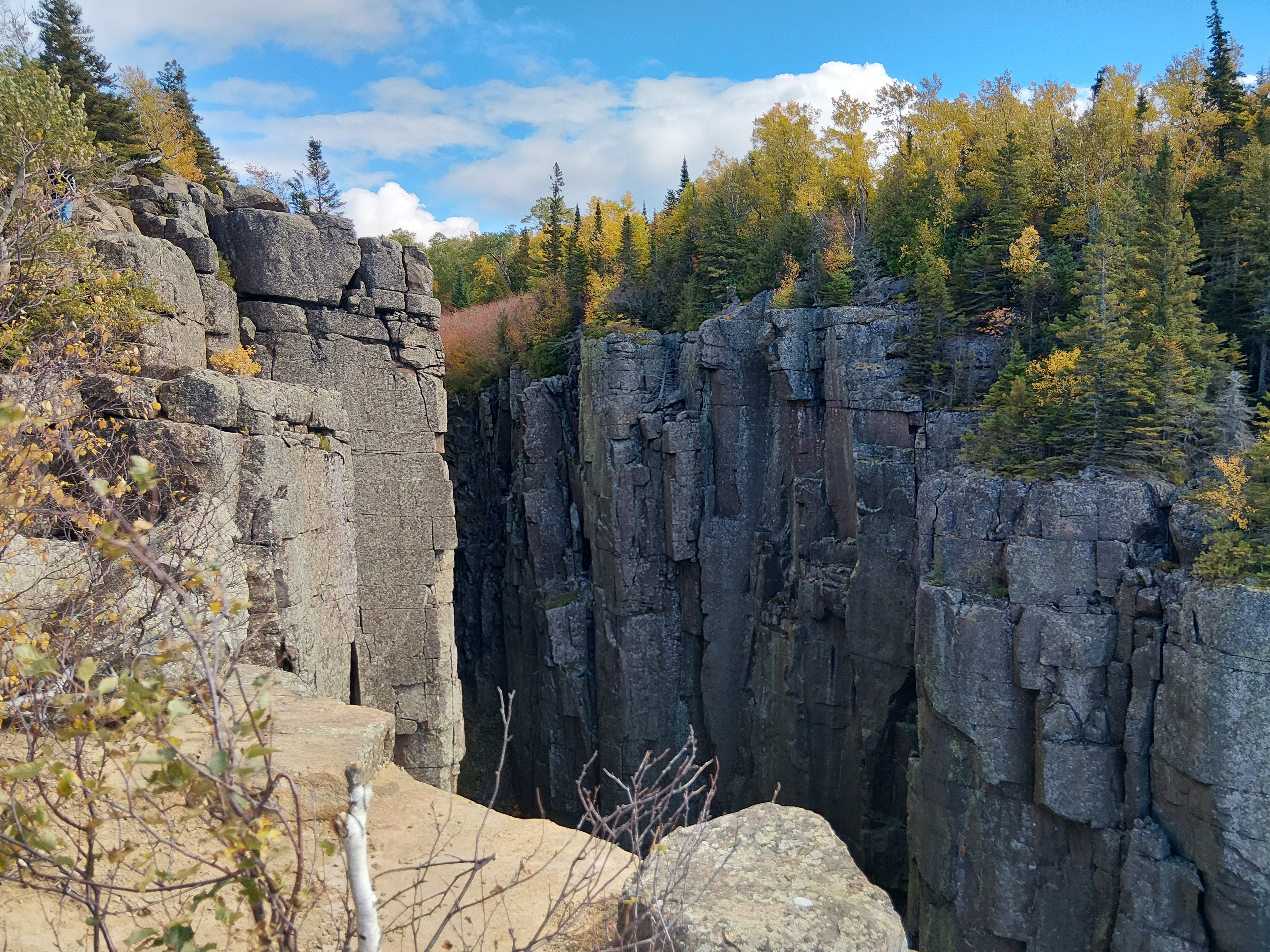
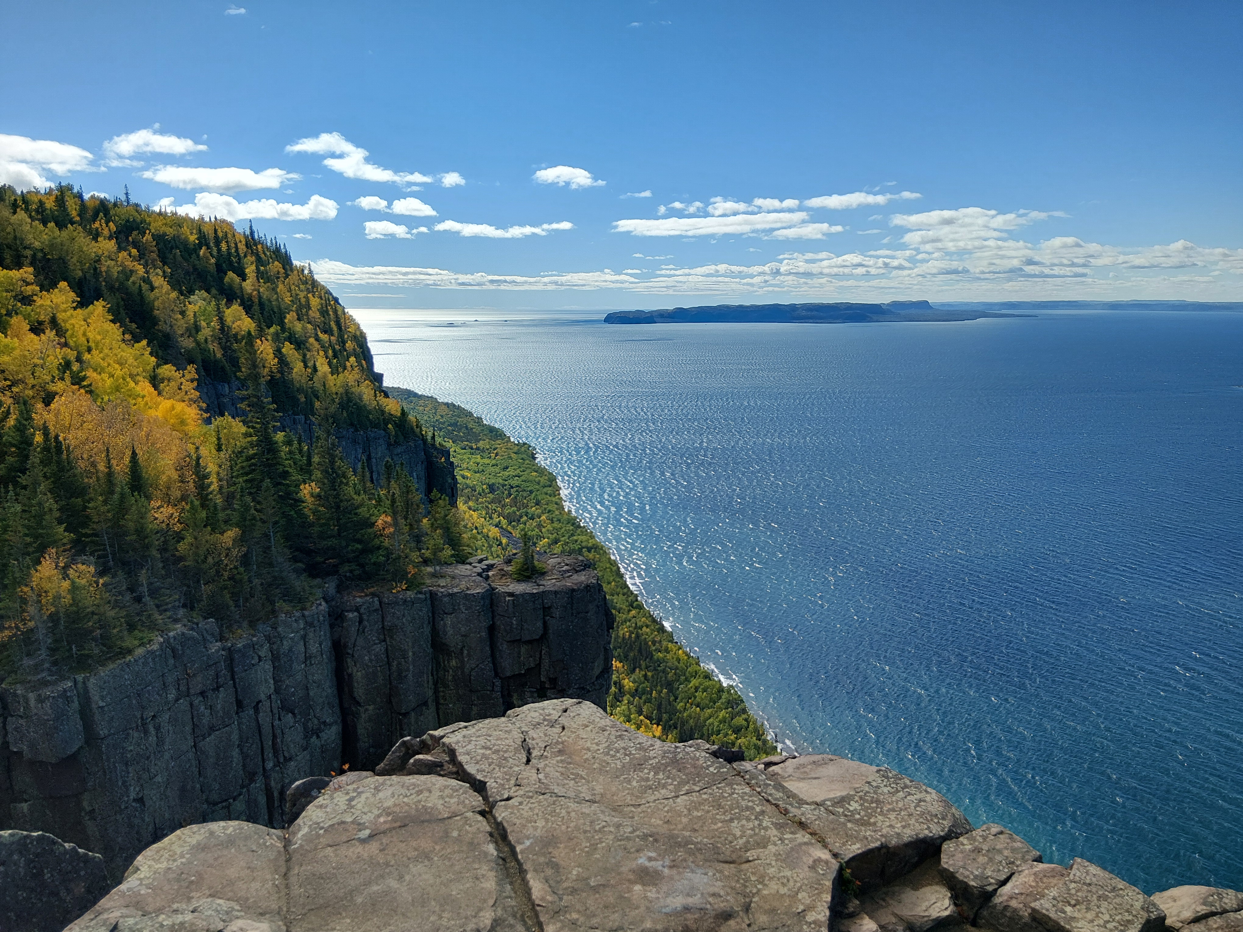
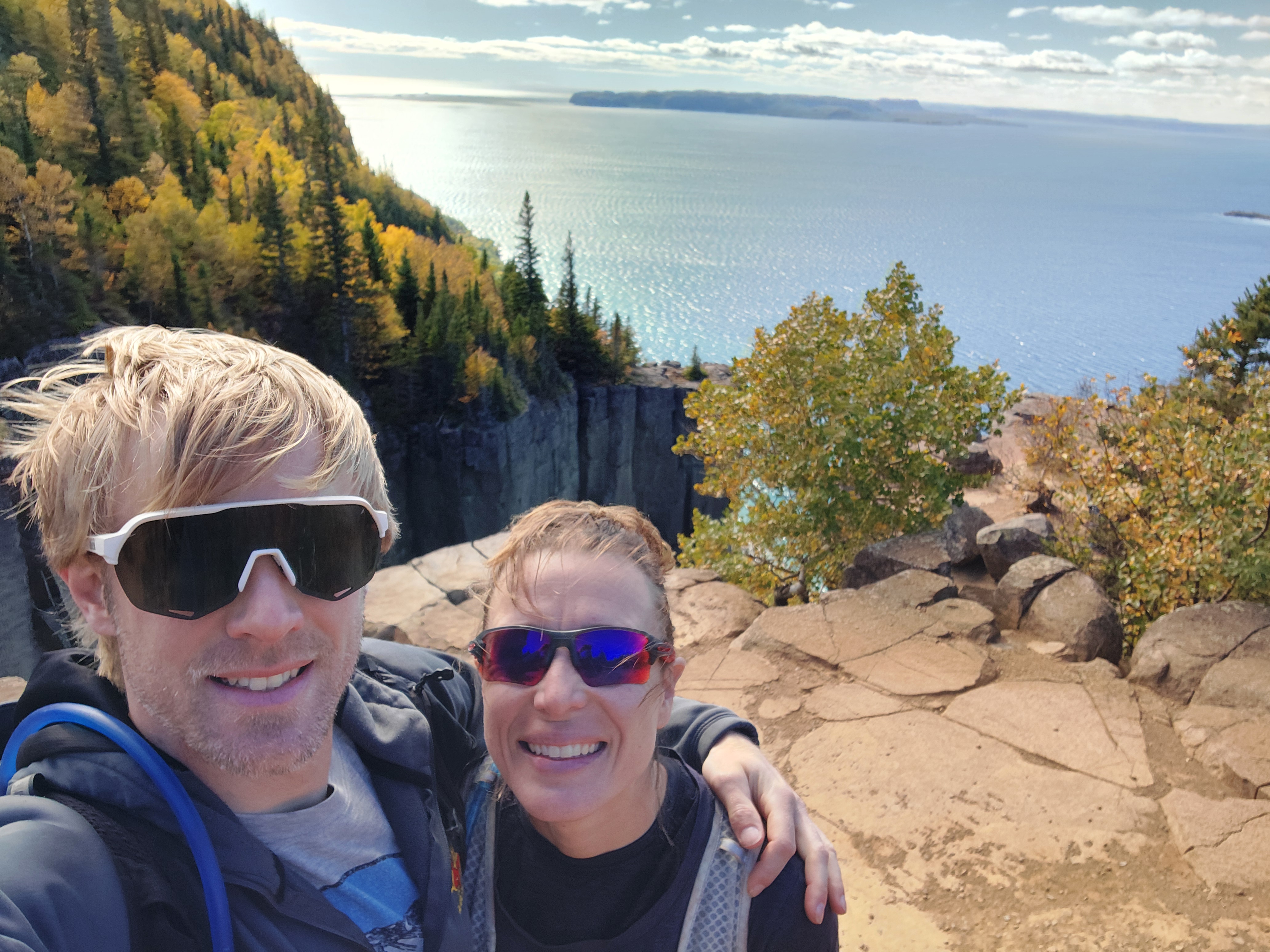
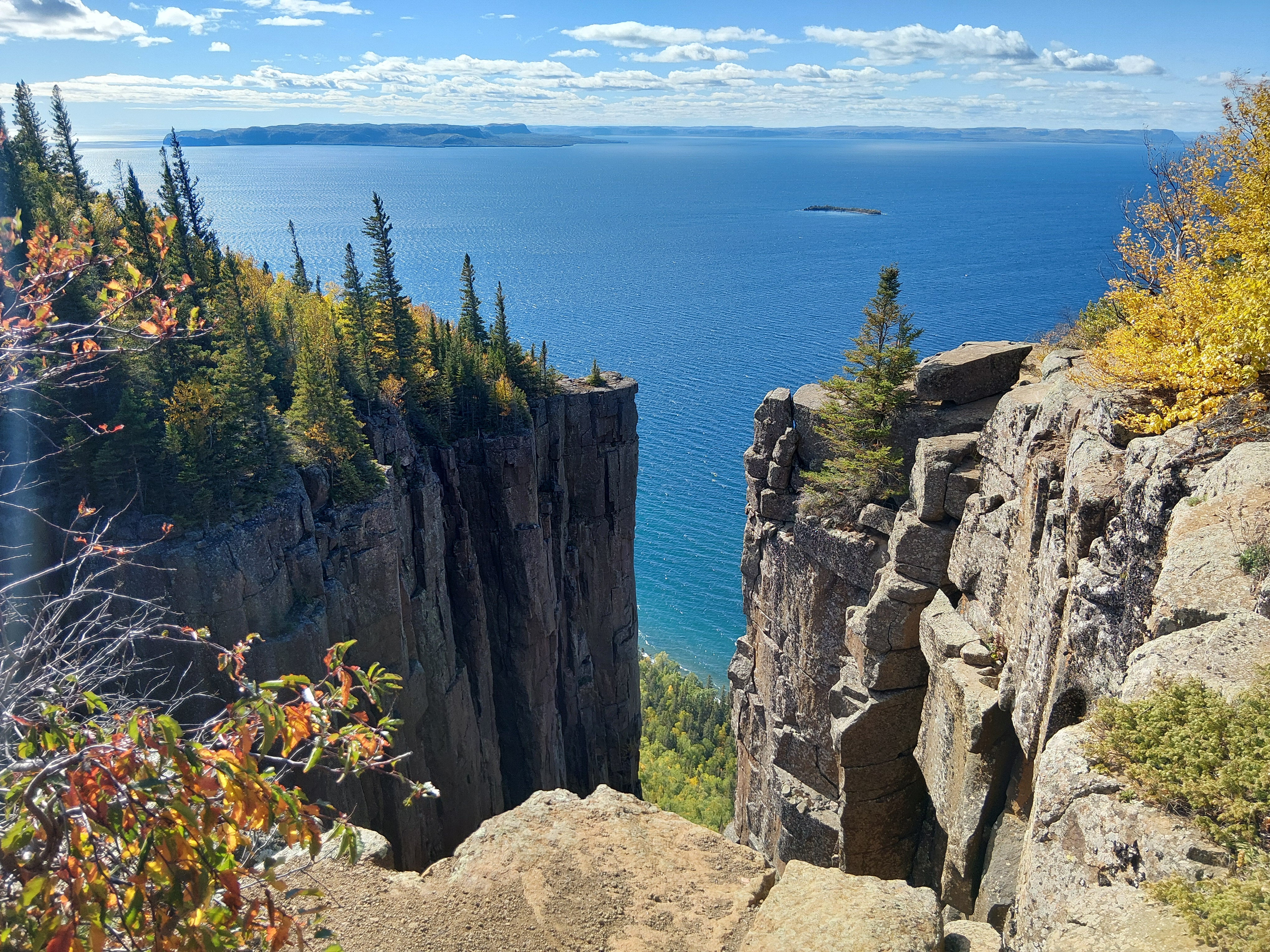
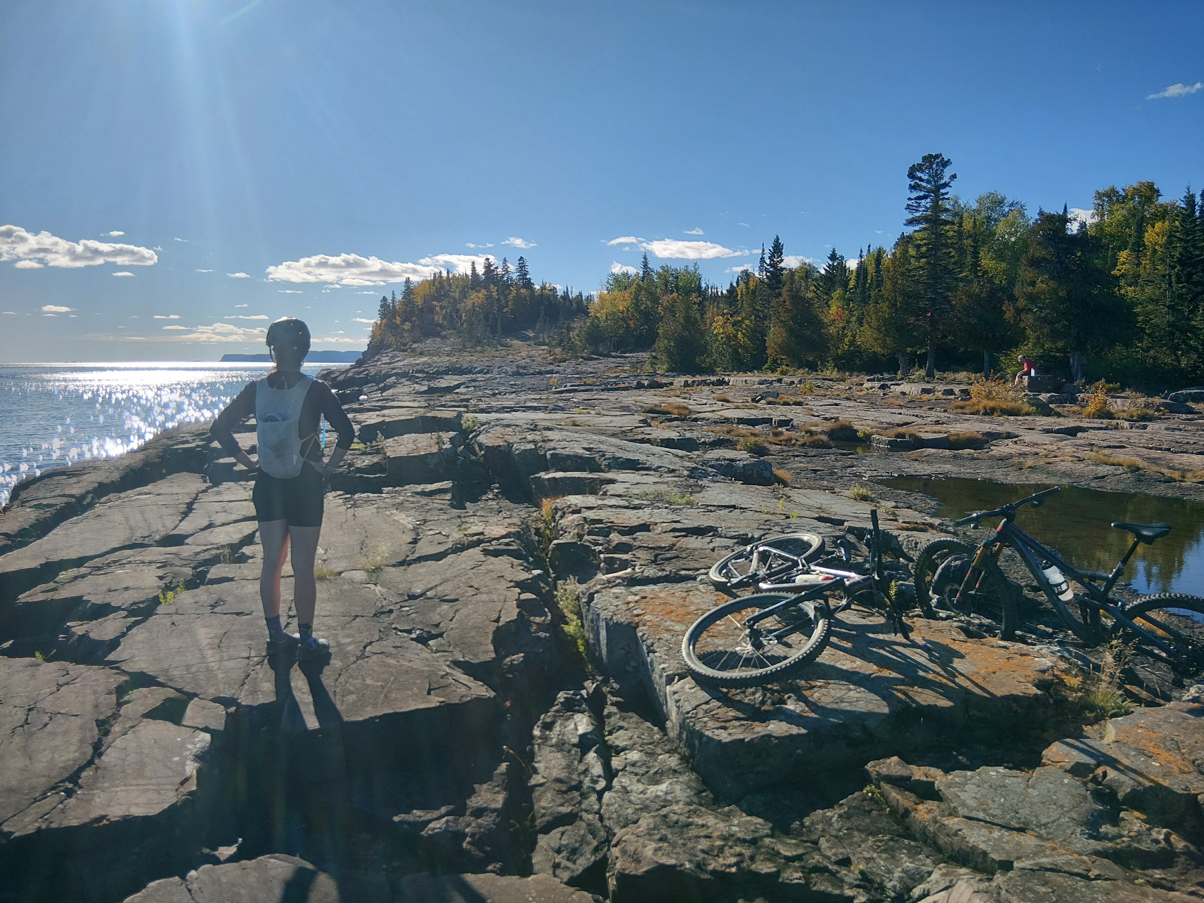
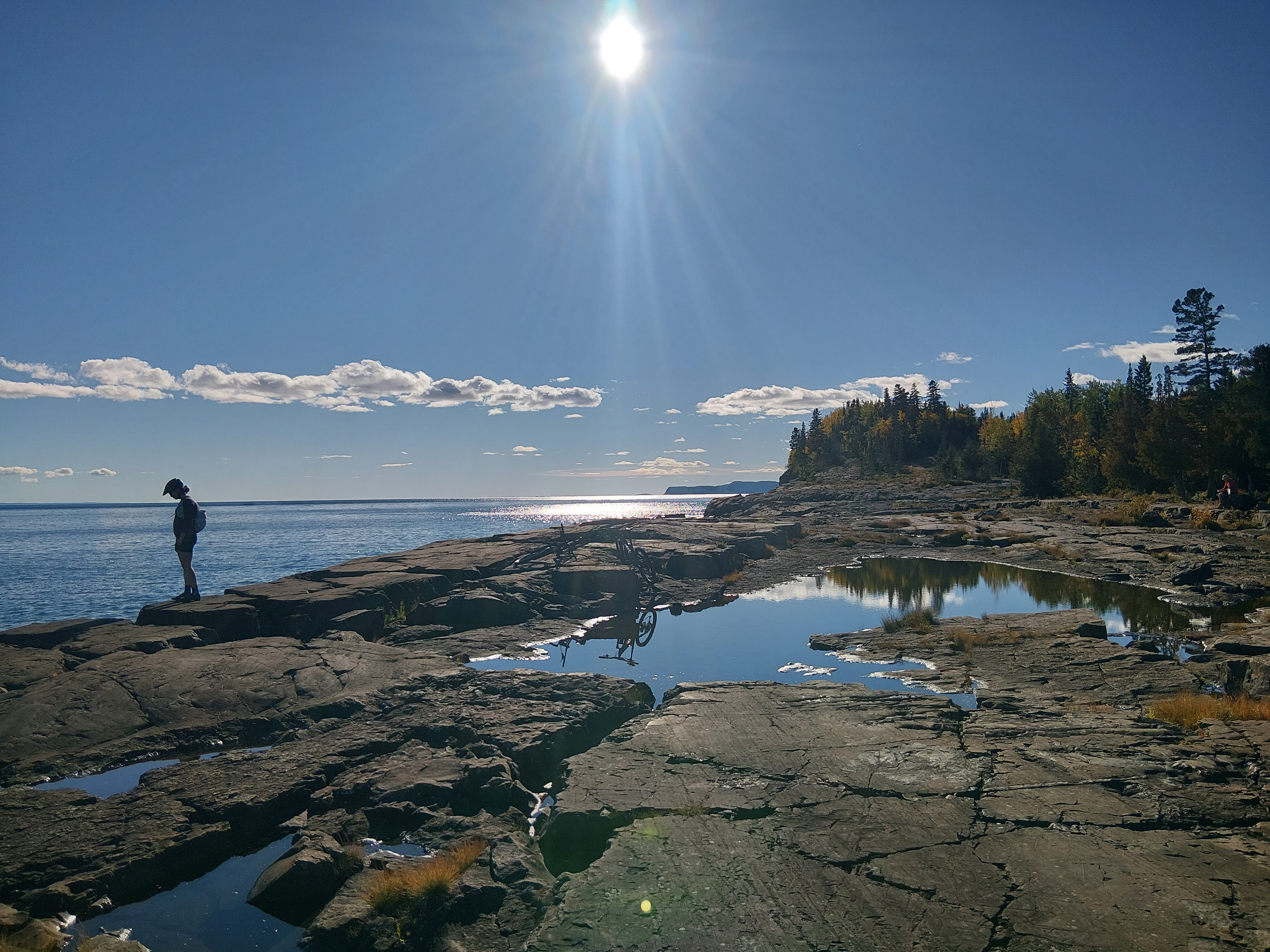
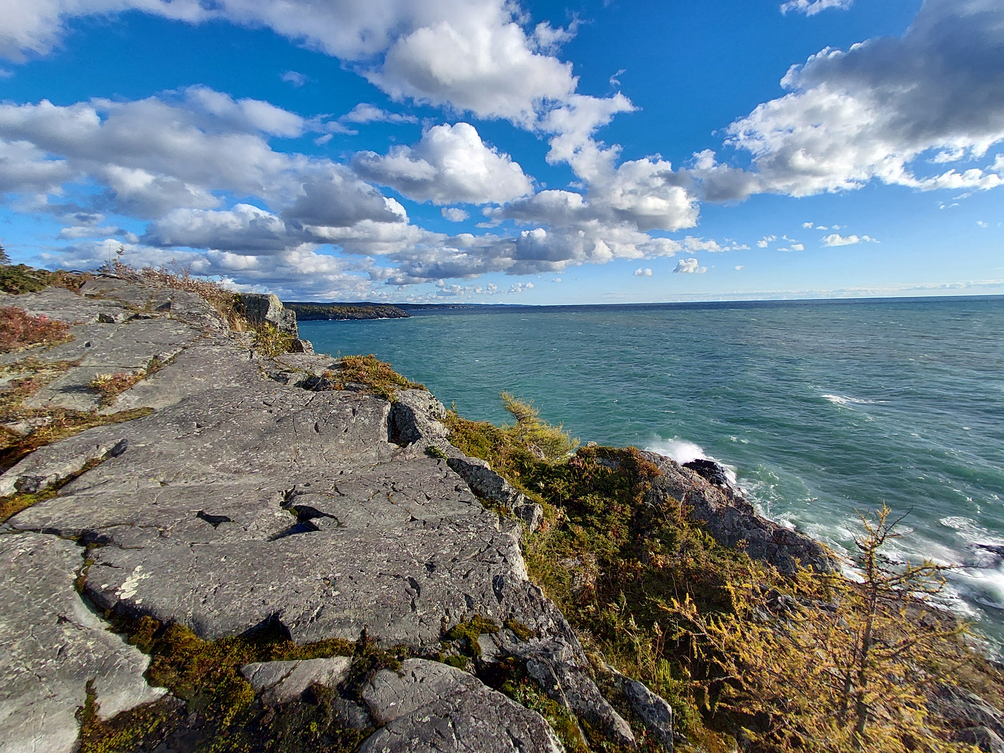
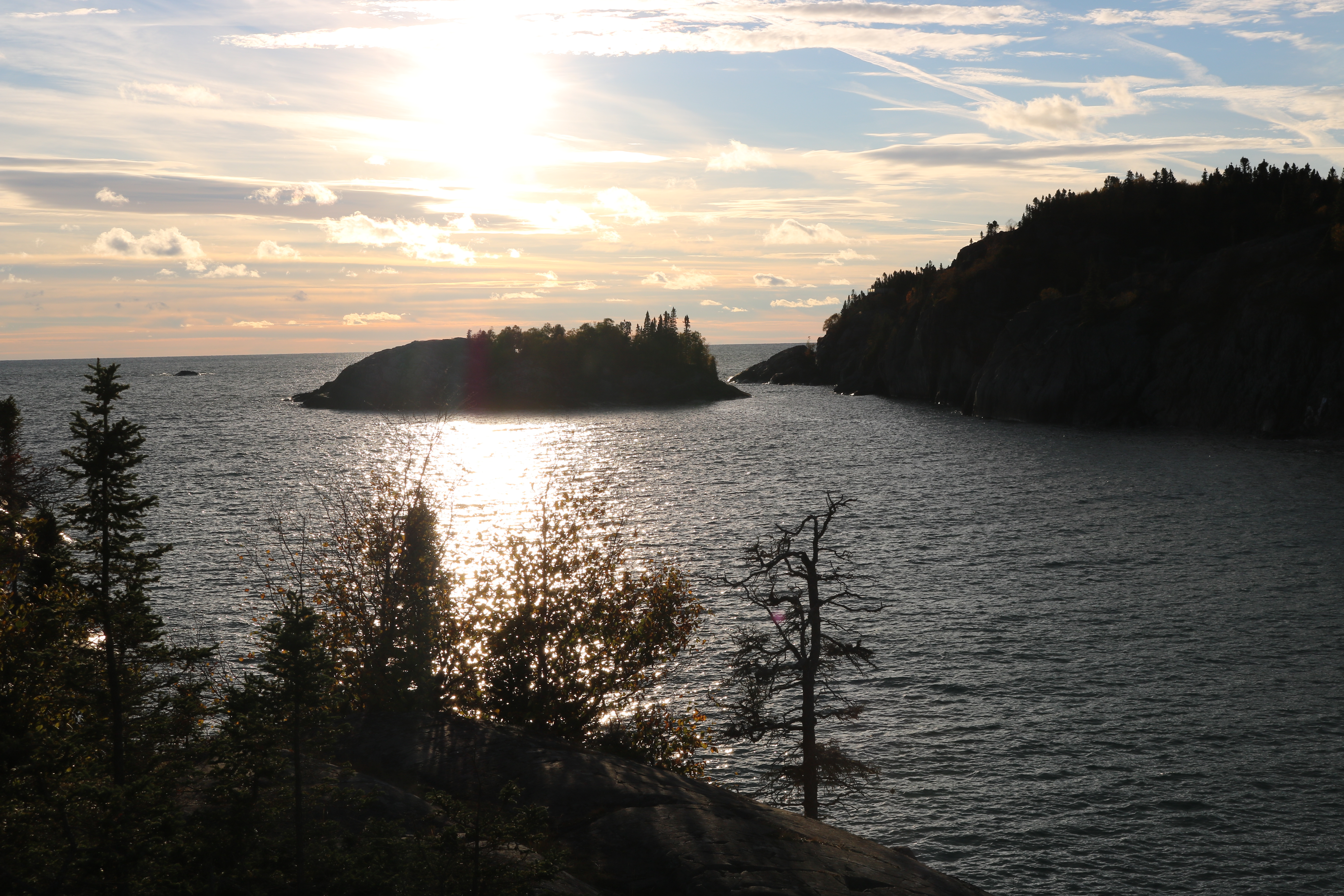
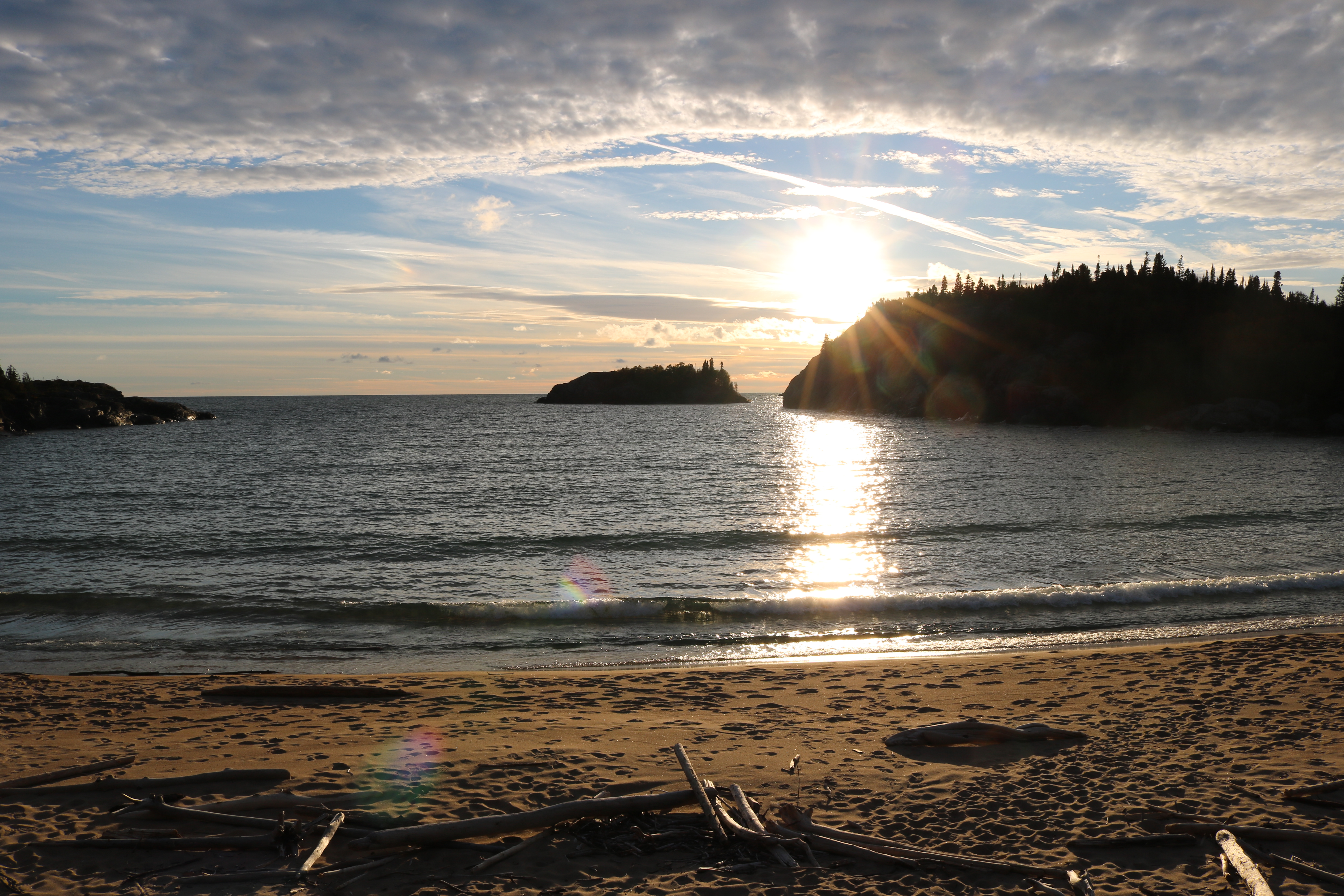
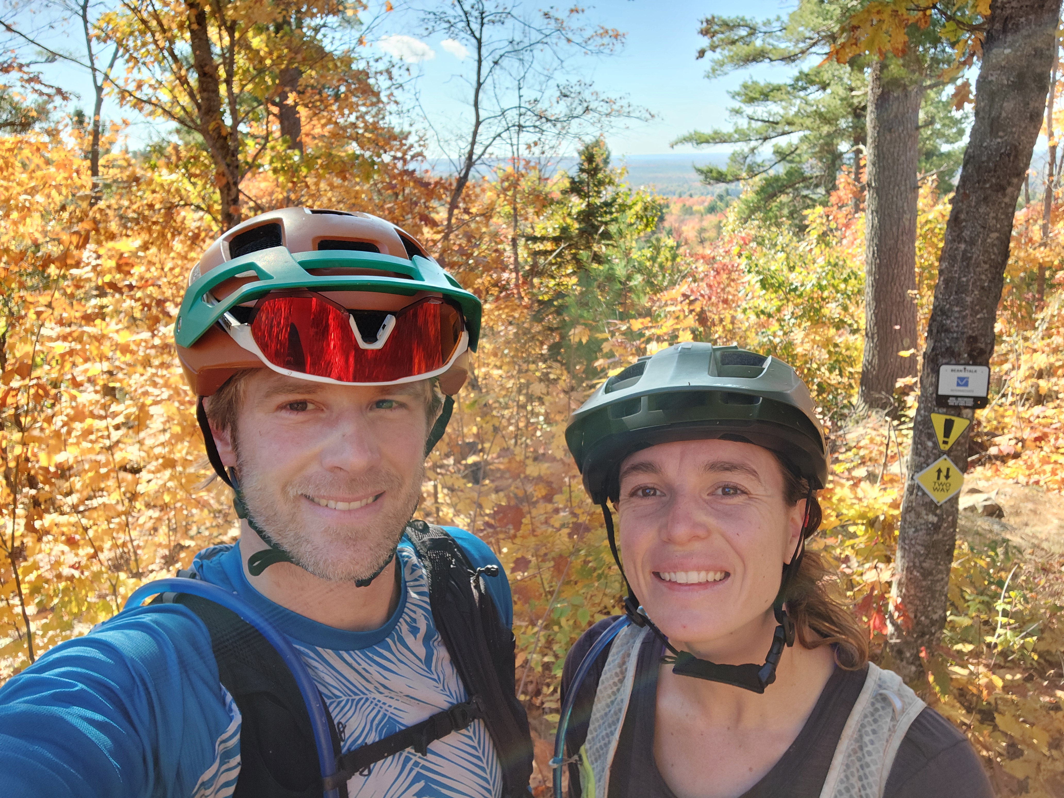
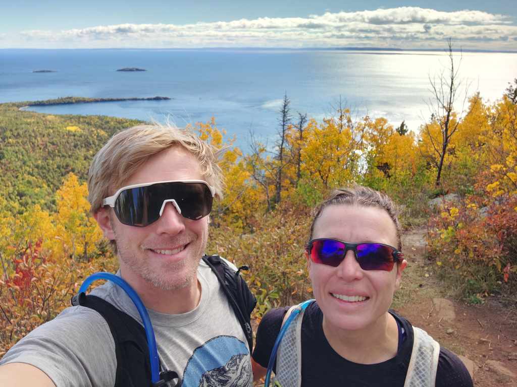
The next day, the wind continued to howl but we set off for our bike-hike-bike anyways. It was amusing to me that two days ago we went swimming in a lake and today we were dressed in pants and sweaters for the first leg of our day trip. We biked about 12k, stopping along the way to check out Lake Superior and admire the fall leaves. Once at the trailhead, we locked up the bikes, changed into our hiking shoes and began towards the Top of the Giant trail. The sun was out and we were protected in the trees, so we barely noticed the wind, until we got to any sort of look out. Then the wind blasted again but we didn’t care because we were surrounded by yellow and orange trees and the lake sparkled brilliantly below. After about 4k up, we reached the top, which presented plunging cliffs. This time we took notice of the gale force winds because if you got a little too close to the edge, you risked getting blown into oblivion. From a safe vantage point on Sleeping Giant, the rocks and surrounding landscape were incredible. After a snack, we headed back down, still awestruck by Superior. We reached our bikes and took them on a small detour to see more cool rocks along the shore.
We then pedalled back to the campground for burrito bowls and a fire.
The next day, it was forecasted to be cold and rainy, so we had a slow start to the day. After gigantic breakfast burritos, we packed up the bikes and headed into Thunder Bay to check out the area’s mountain bike trail network. As we got closer, we noticed more and more cars parked on the side of the road. We pulled into the parking lot late morning and not a single spot was available. We soon learned that a big trail running event was taking place with athletes competing in 50k, 25k and 10k races.
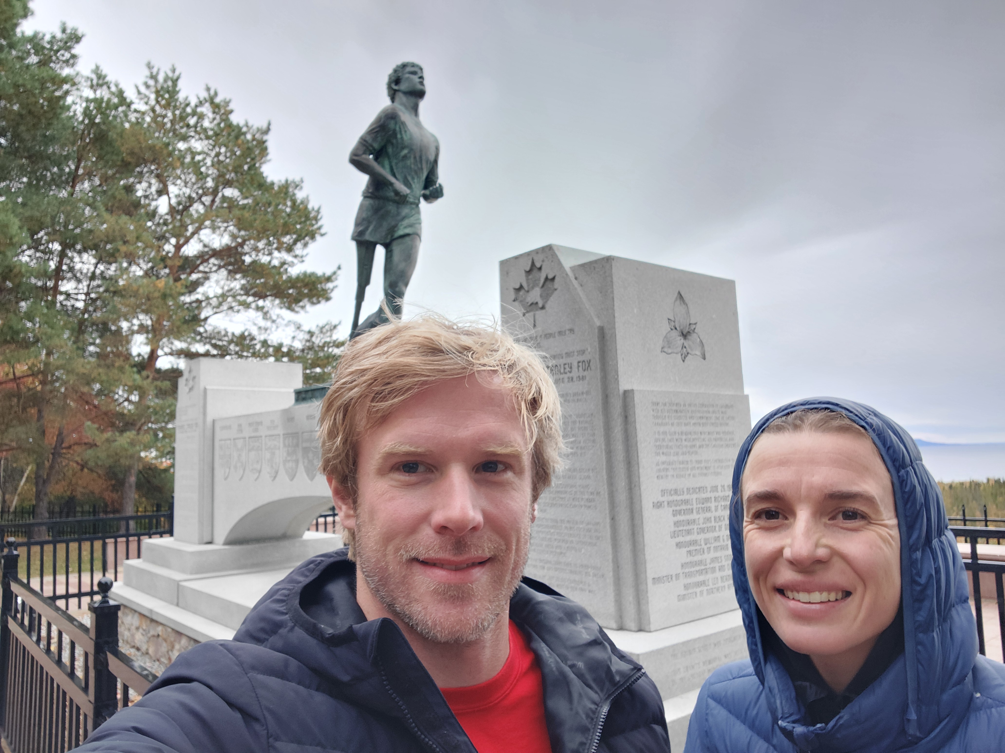
Our planned route overlapped with some of the race course so we thought our ride had been thwarted. But we decided to at least try and if we got kicked off the trails, then we’d head out. To our surprise, the trails weren’t closed and since the longer races had started at 7:30 A.M. (in the dark), there weren’t too many athletes left on course. We did come across a few, but we just stopped, pulled our bikes to the side of the trail and cheered them on. Once off the race course, we got into more technical single track that was reminiscent of BC. We were happy to finally be on some challenging trails and experience some topography! With trails called Rocky Road, Cookies and Cream and Snakes and Ladders, I was soon reacquainted with pushing my bike uphill! We wrapped up our ride right before the rain started and headed to the grocery store. With chocolate milk and lunch in hand, we headed to the Terry Fox monument. We read about his courageous story and took in the scenic views of Lake Superior and Sleeping Giant. The rest of the afternoon was cold, rainy and lazy!
Pukaskwa National Park
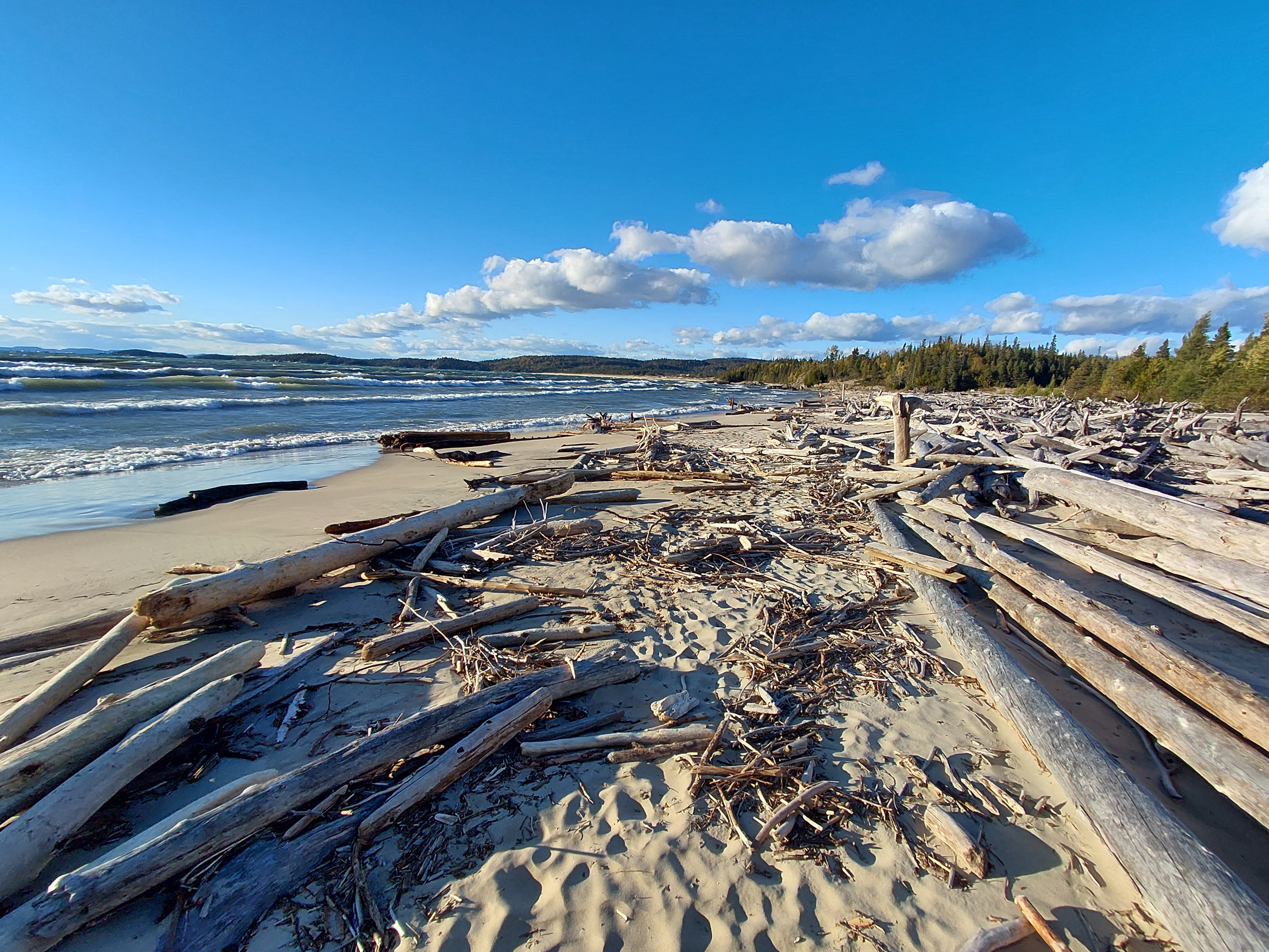
The next day, we set off on our windiest drive day yet. Fortunately, it was a tailwind for most of the day, but we did get the odd gust of crosswind that would have pushed us right into the ditch if Cody didn’t have two hands on the steering wheel. We started on the Highway of Courage and passed mile 3,339 where Terry Fox ended his Marathon of Hope. The views of boreal forests and Lake Superior were amazing. So much so that the Group of Seven named a section of the highway. We drove through the most topography since we left BC and that made the drive scenic too – so much to look at from the high vantage points and low river valleys. We stopped at Terrace Bay Beach for lunch, thanks to the recommendation of a Superior homeboy and local ambassador. The waves were incredible and the beach was beautiful. We took a short hike along the boardwalk to Red Chair Trail, which led us to a gorgeous panoramic view of Superior. Each chair and picnic table along the boardwalk is dedicated to someone special.
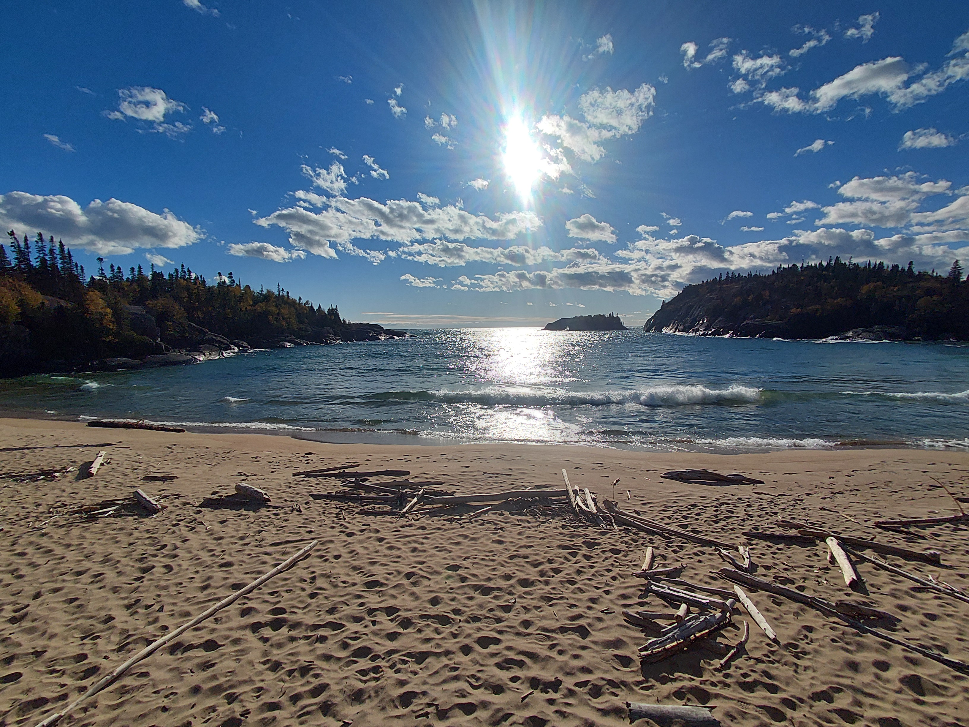
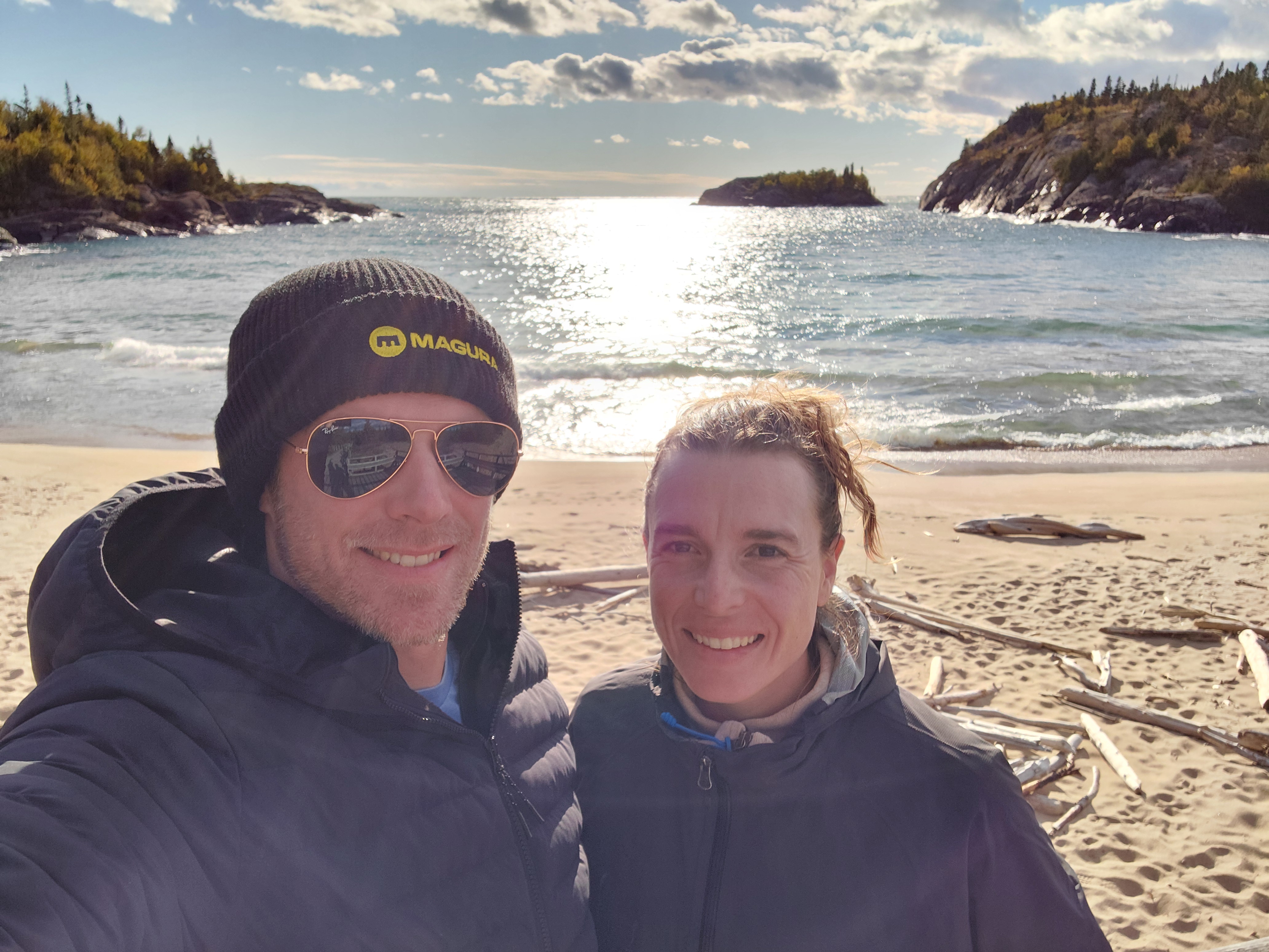
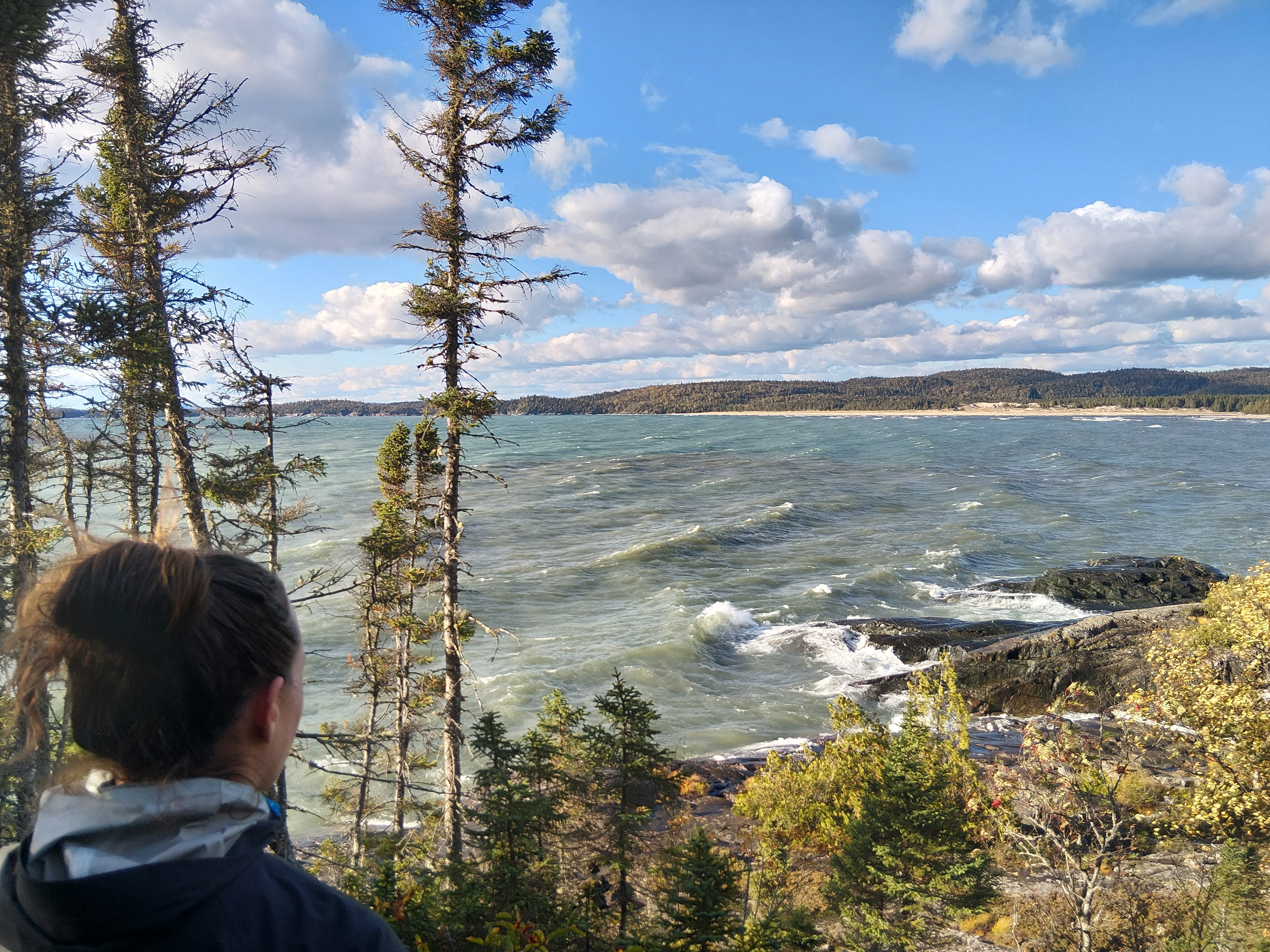
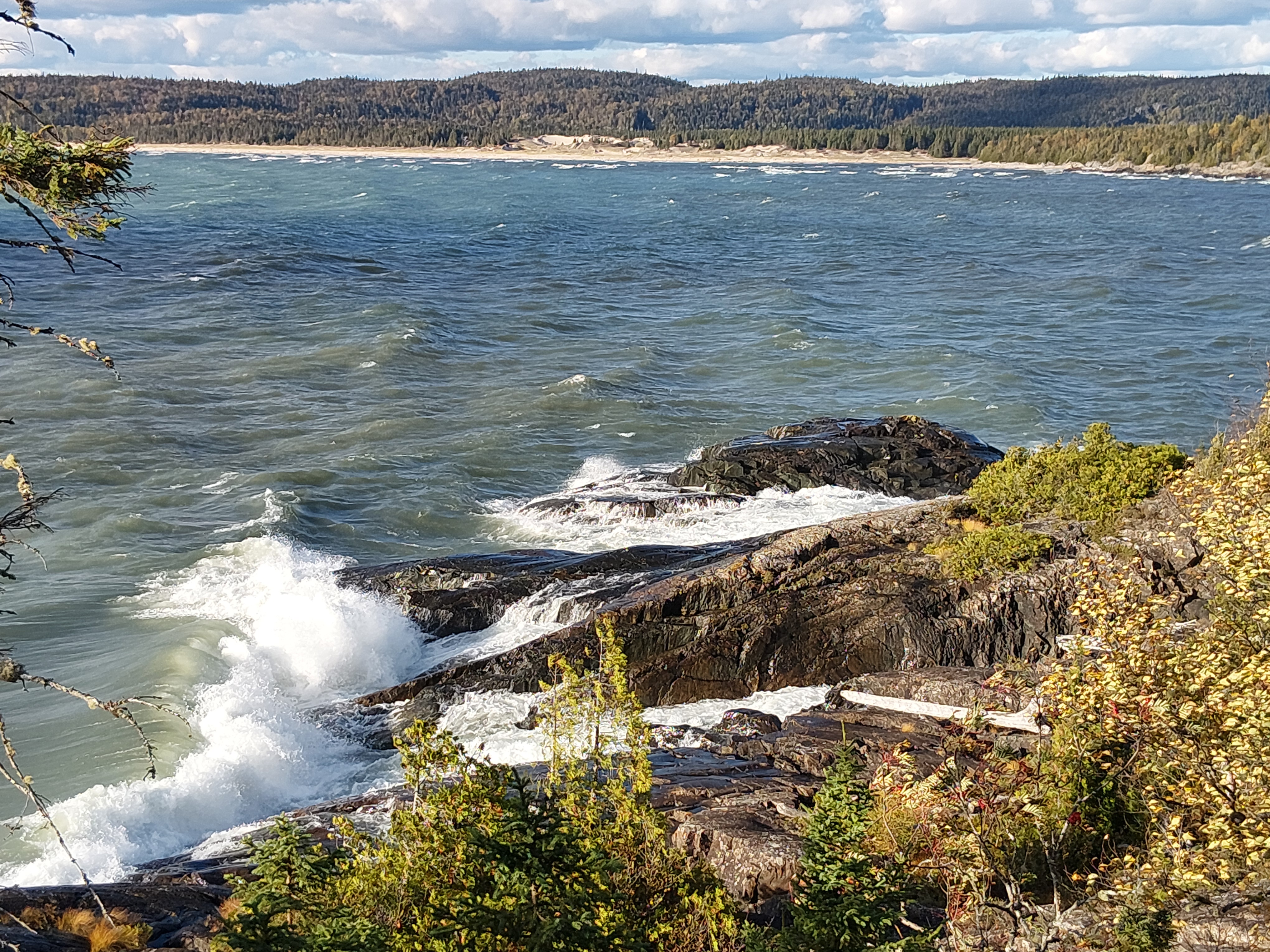
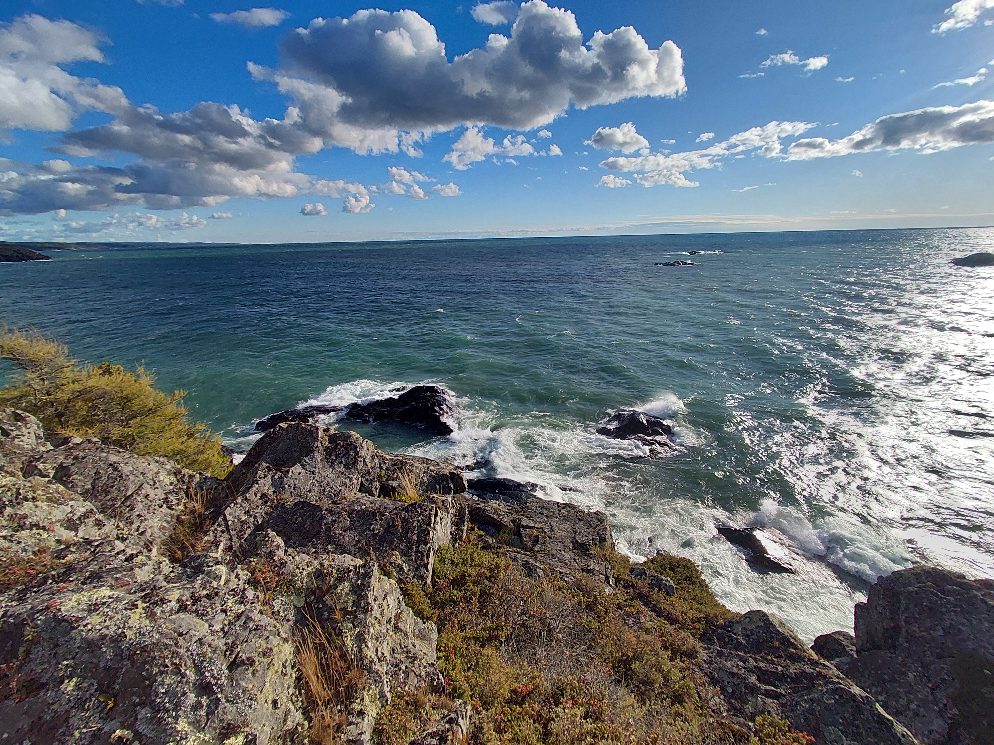
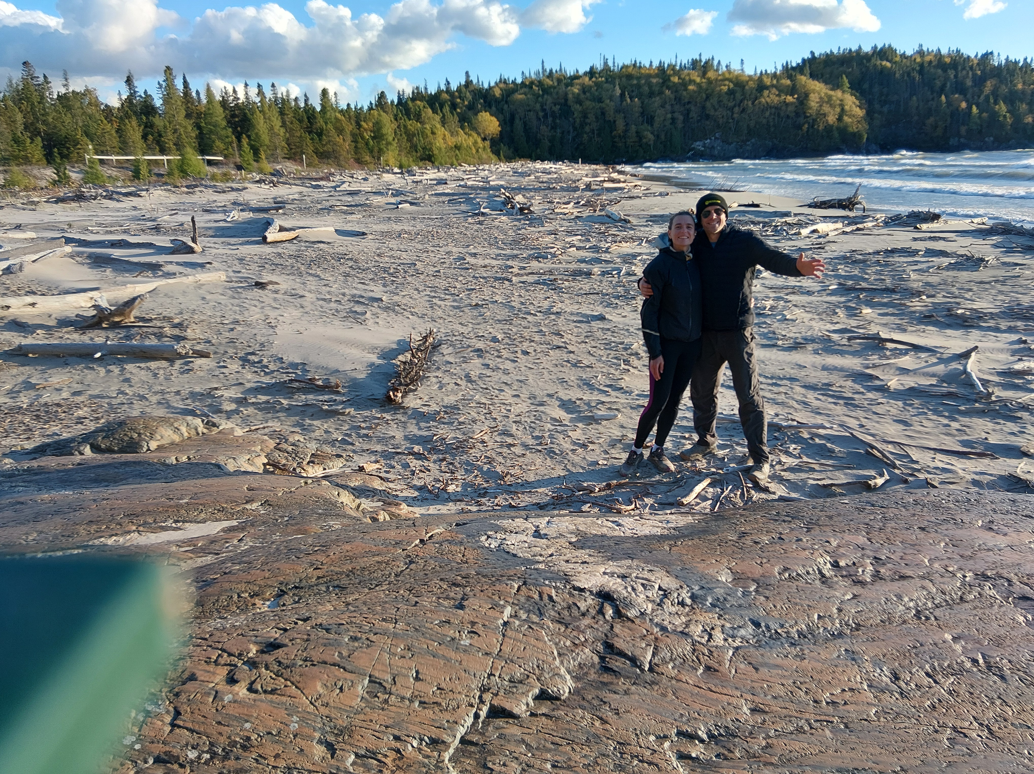
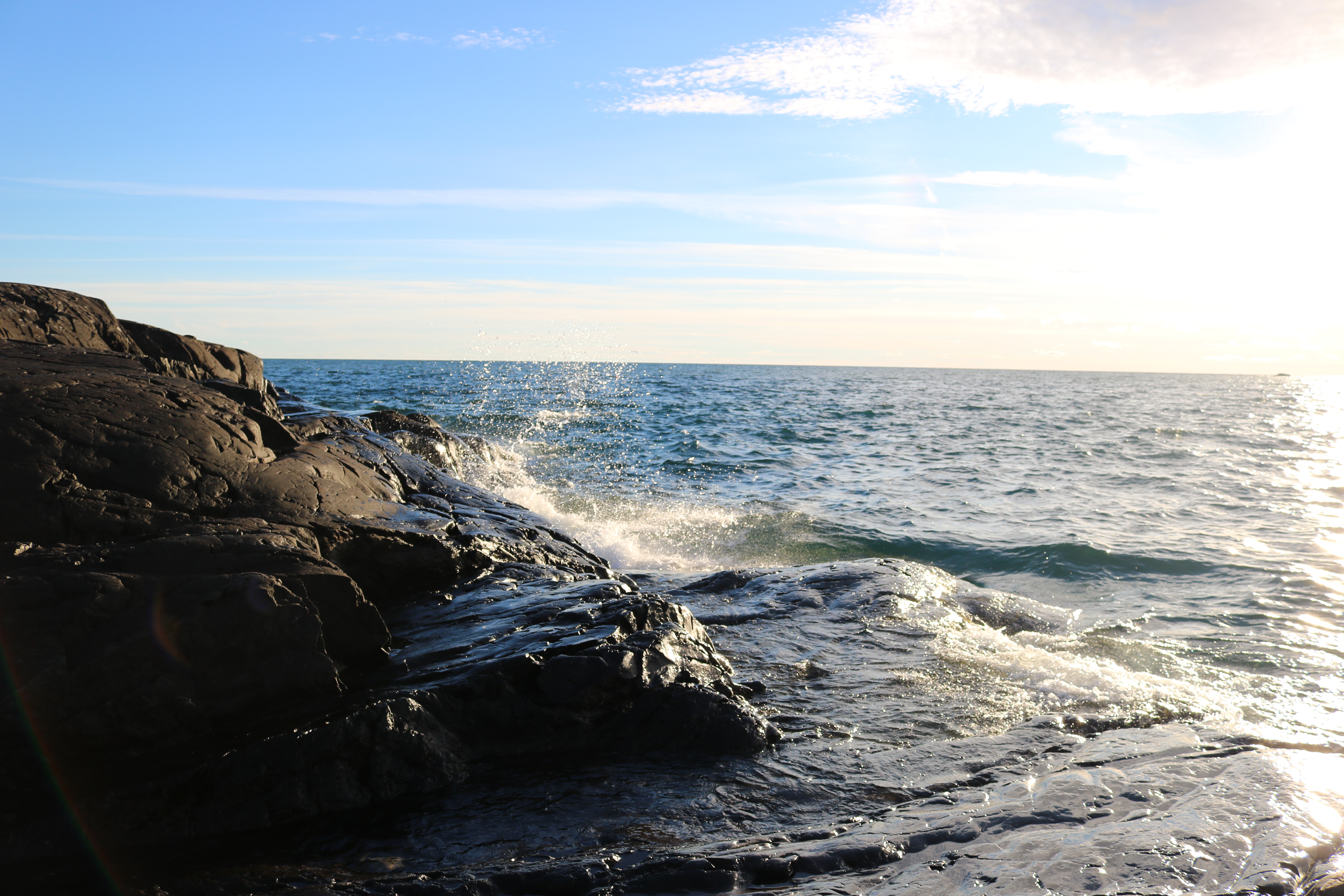
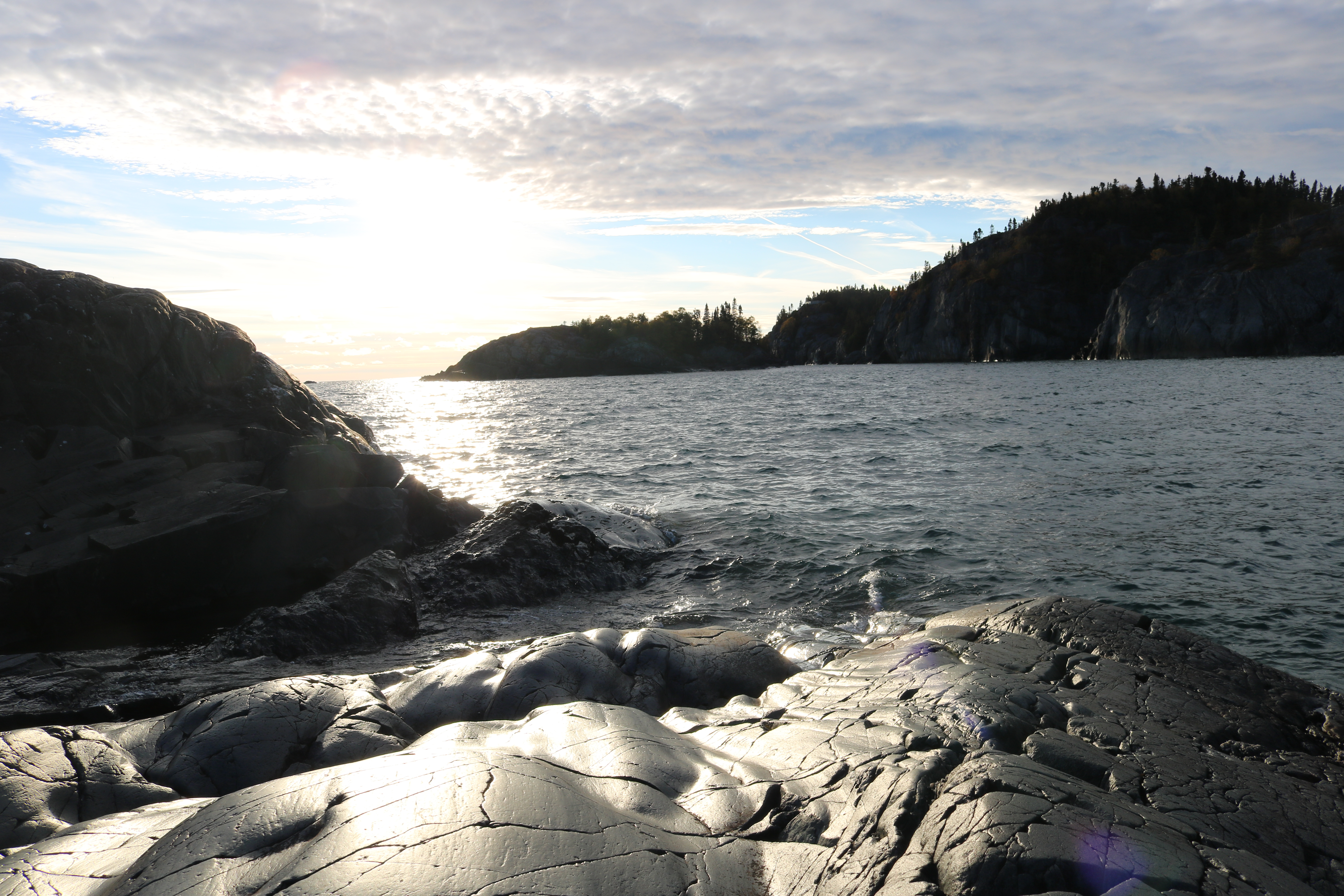
We drove through Marathon and arrived at Pukaskwa National Park. The first come first serve campground had many sites available so we were able to set up on our first pick. We then headed out for a walk around the Manito Miikana loop and beach trail. We were both blown away by the rocks and waves. The landscape was not all that dissimilar from Vancouver Island! The surf coming in was so violent and intense it looked like the ocean. The rocks were getting hammered by the wind and waves. We figured out why Pukaskwa is a National Park. It’s an absolute treasure!
We had a big hike on the docket for the next day, so we got up and going at a decent time to make sure we had a full day for the adventure. We had lots of snacks and water with a few sandwiches on board, too. When we set out, the sun was shining and the air was crisp, so we had gloves and ear warmers – fall is well and truly here! We began running and the trail turned into an adventure (in every sense of the word) run. We stopped at every turn that looked interesting and took our time taking in the scenery along the Coastal Hiking Trail, which runs nearly 60k along the eastern shore of Lake Superior. We wandered and explored with no timeline.
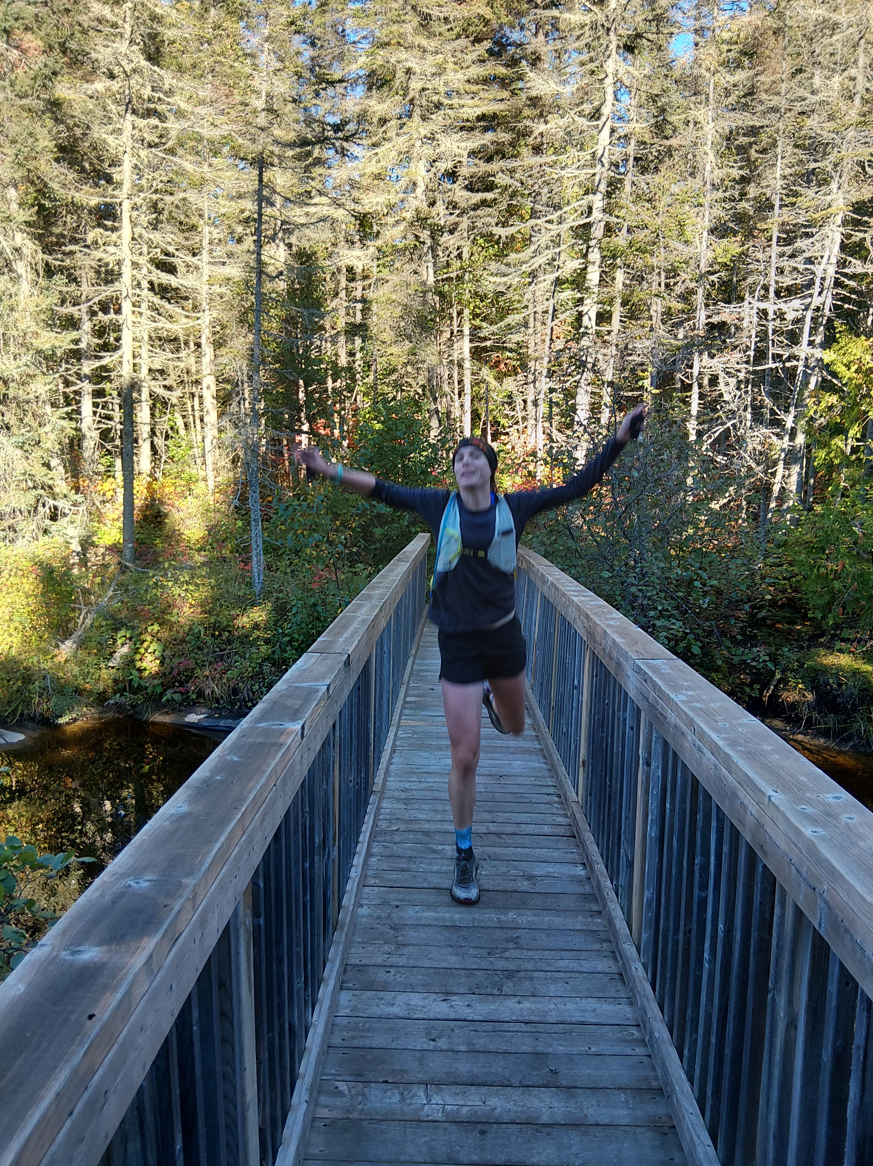
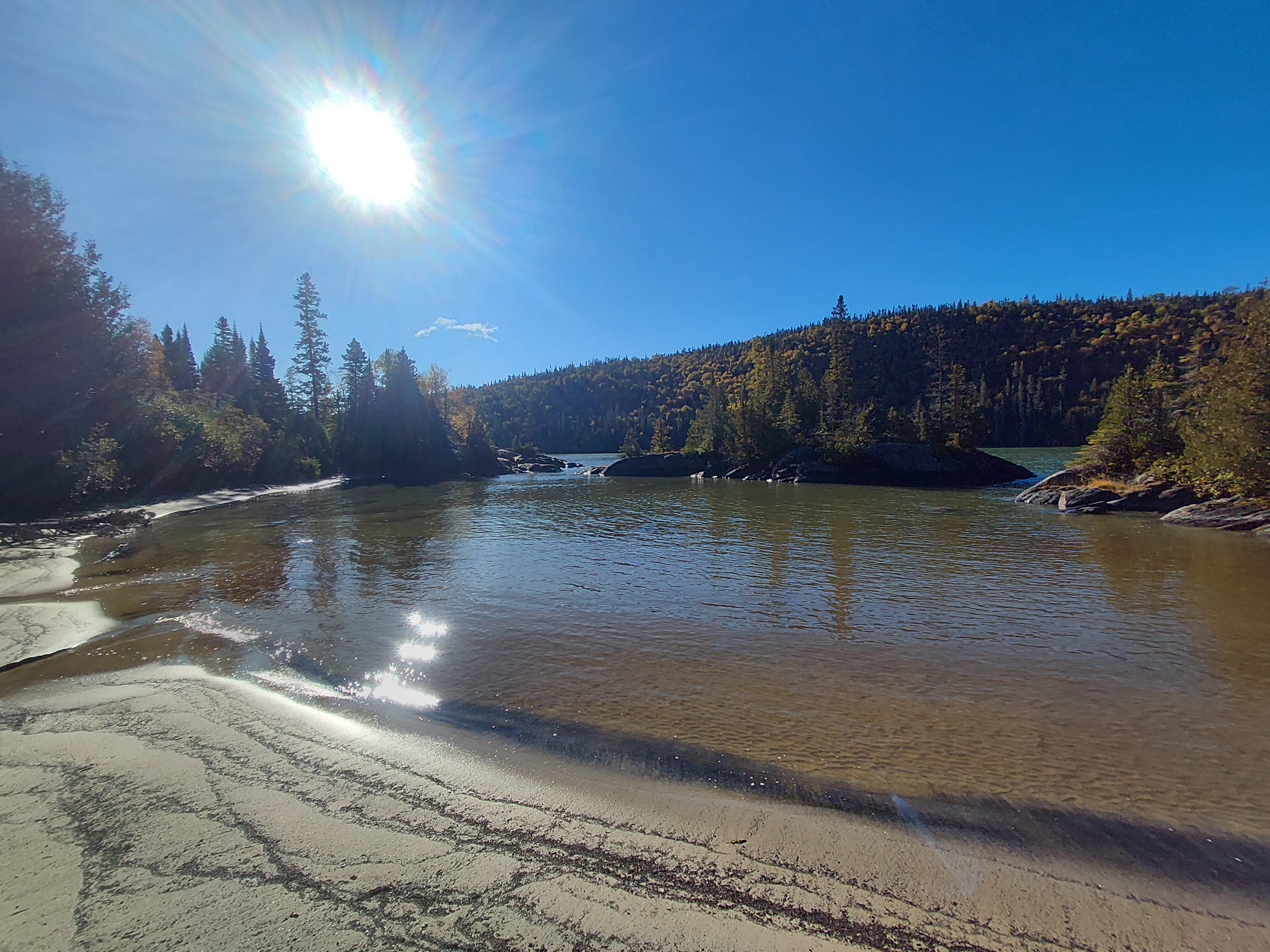
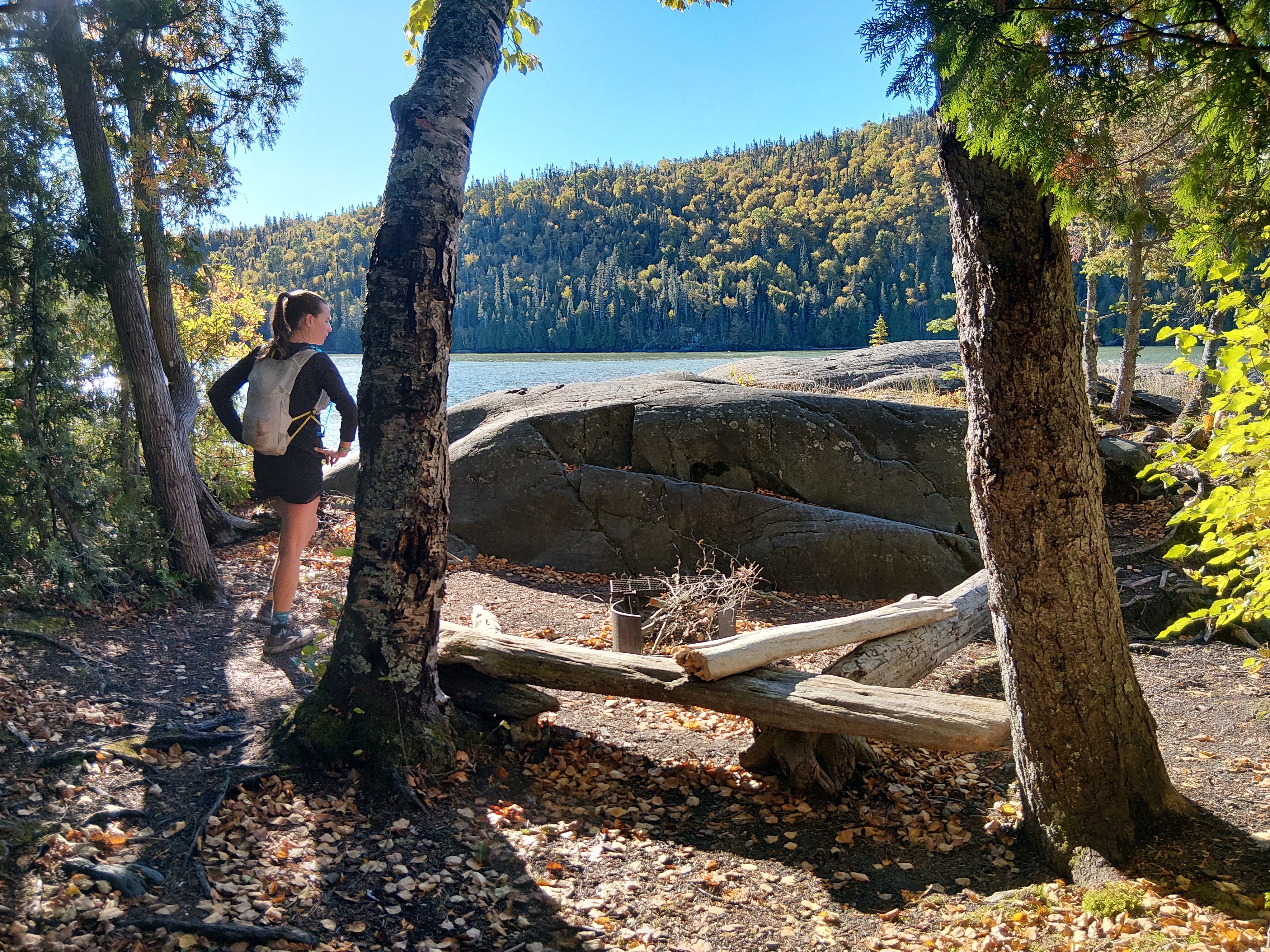
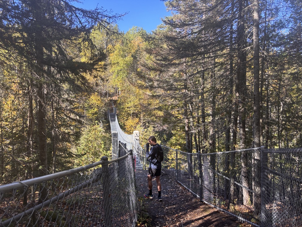
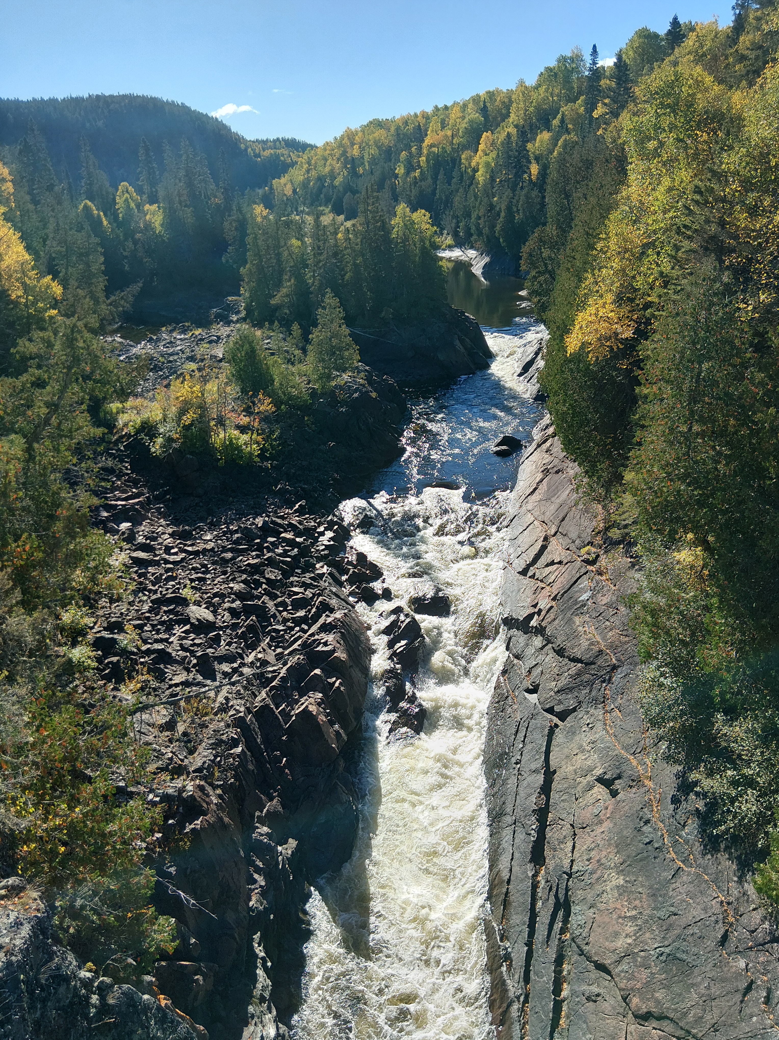
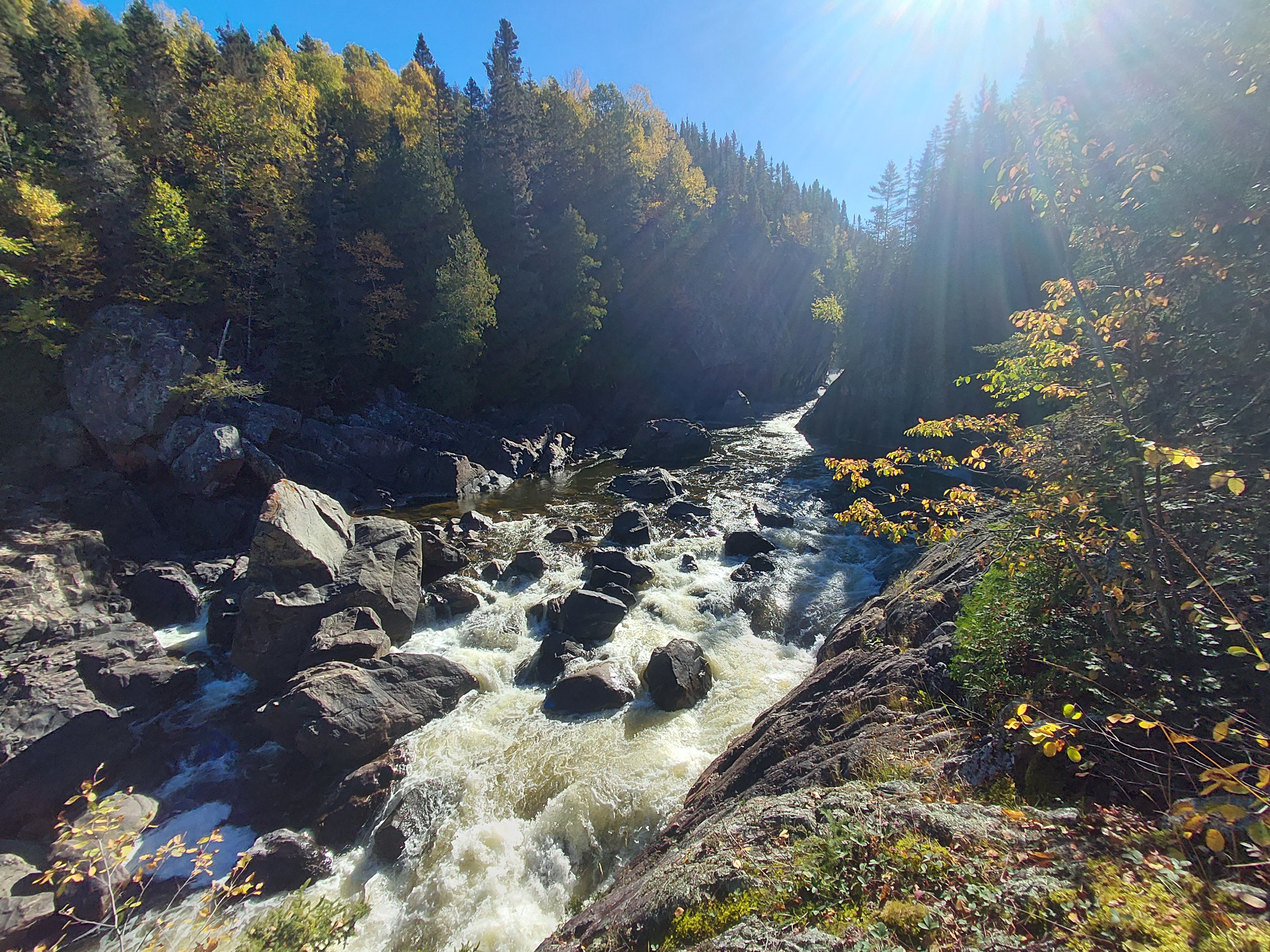
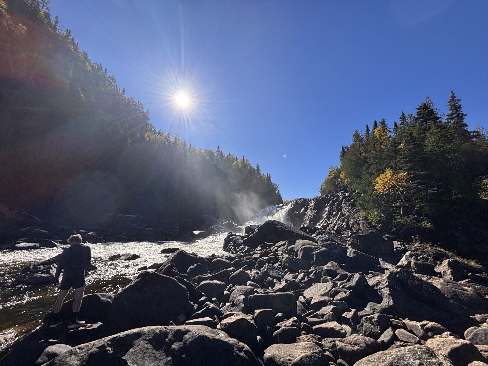
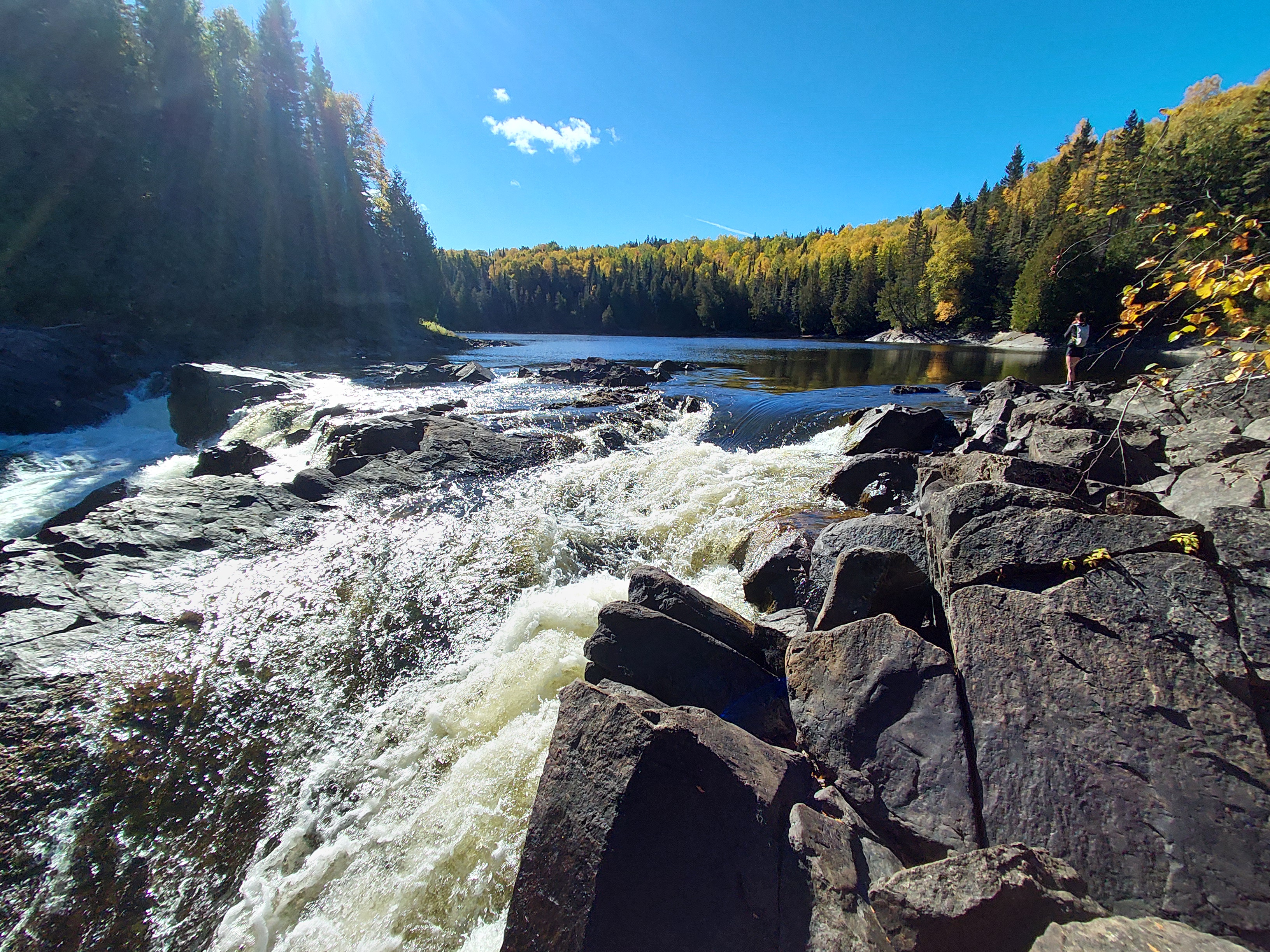
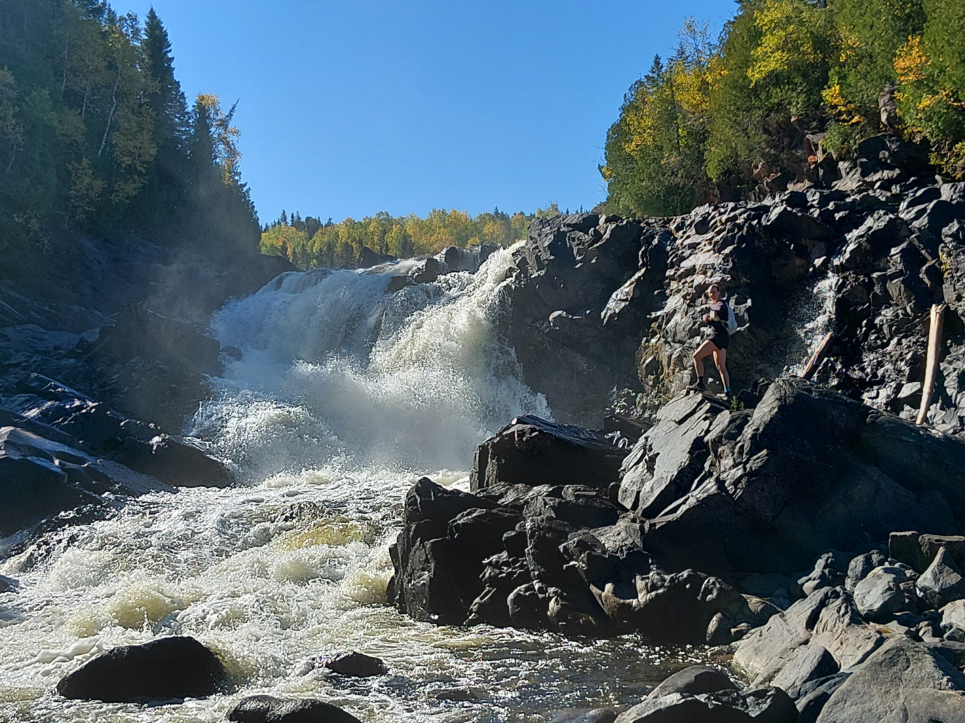
Our first stop was Playter Harbour and then we eventually made it to the White River Suspension Bridge. That was originally our turning point, but our faster-than-expected ground coverage meant we could go further. We headed upriver from the suspension bridge to check out a few campsites and portages. Along the way were many stunning waterfalls and rapids that we could have watched for hours. We also saw three eagles circling in the sky across the river from where we stood. At about 11k at Hook Falls, we turned around and started heading back to Hattie Cove. Everything was going so well until about 14k when I went down hard on my ankle over a slippery root. Our trail run turned into a light walk jog as I gingerly walked out the pain and paid more attention to the ground’s surface! We made it back and had some late lunch. In the evening, I did some work and Cody hiked the Southern Headland Trail.
Sault Ste. Marie
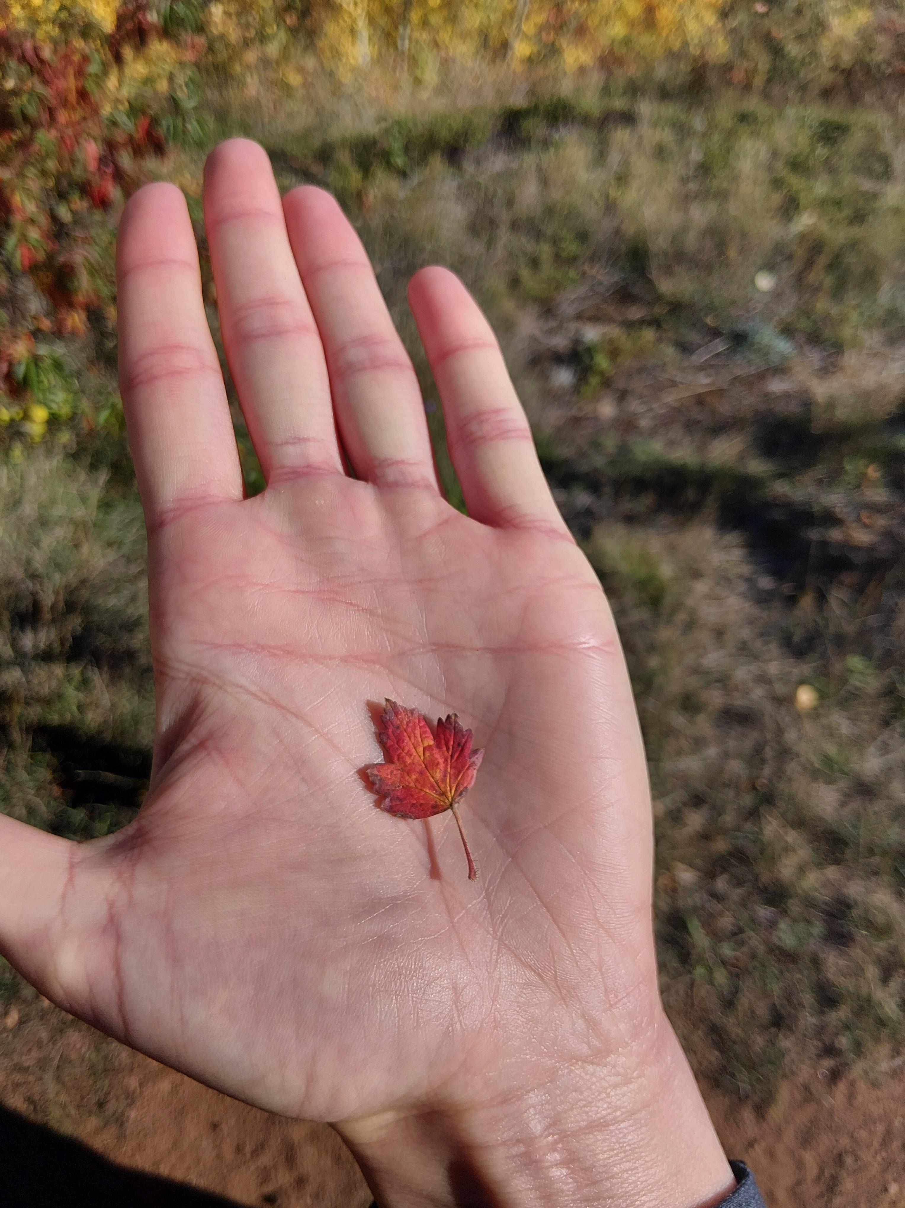
The next day we drove five hours to get to the far east side of Lake Superior. The Trans Canada Highway mostly followed the shoreline the whole way, which was beautiful and the hills on either side of valleys offered views of colourful trees for kilometres. Now that we were in the transitional forest, the maples have the striking oranges and reds that I’ve been waiting for this fall! We stopped in Wawa for fuel, at a lookout for lunch and then continued south against a strong headwind. To our delight, we made it to Glenview Cottages and Campgrounds just north of Sault Ste. Marie in the glow of golden hour.
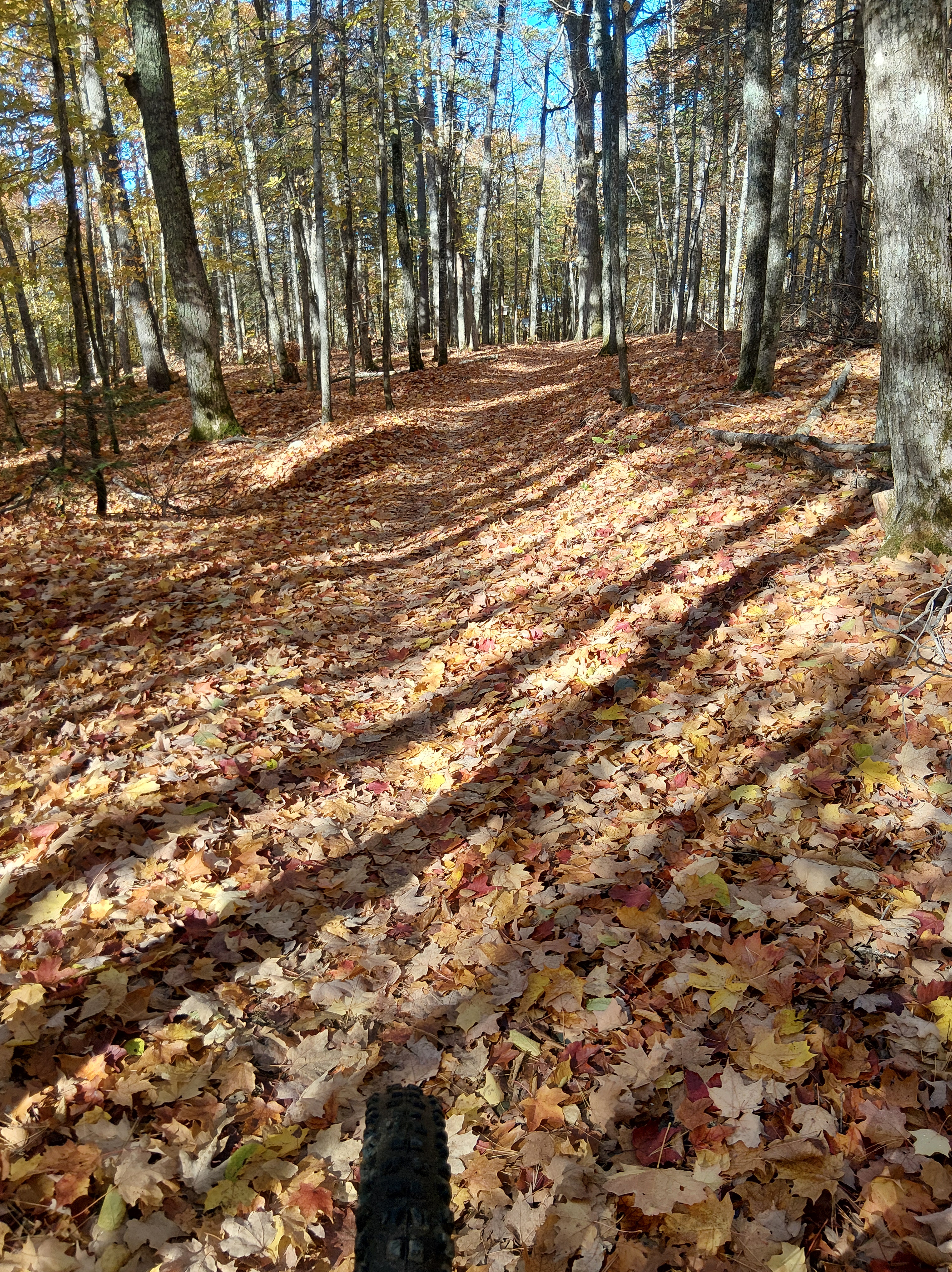
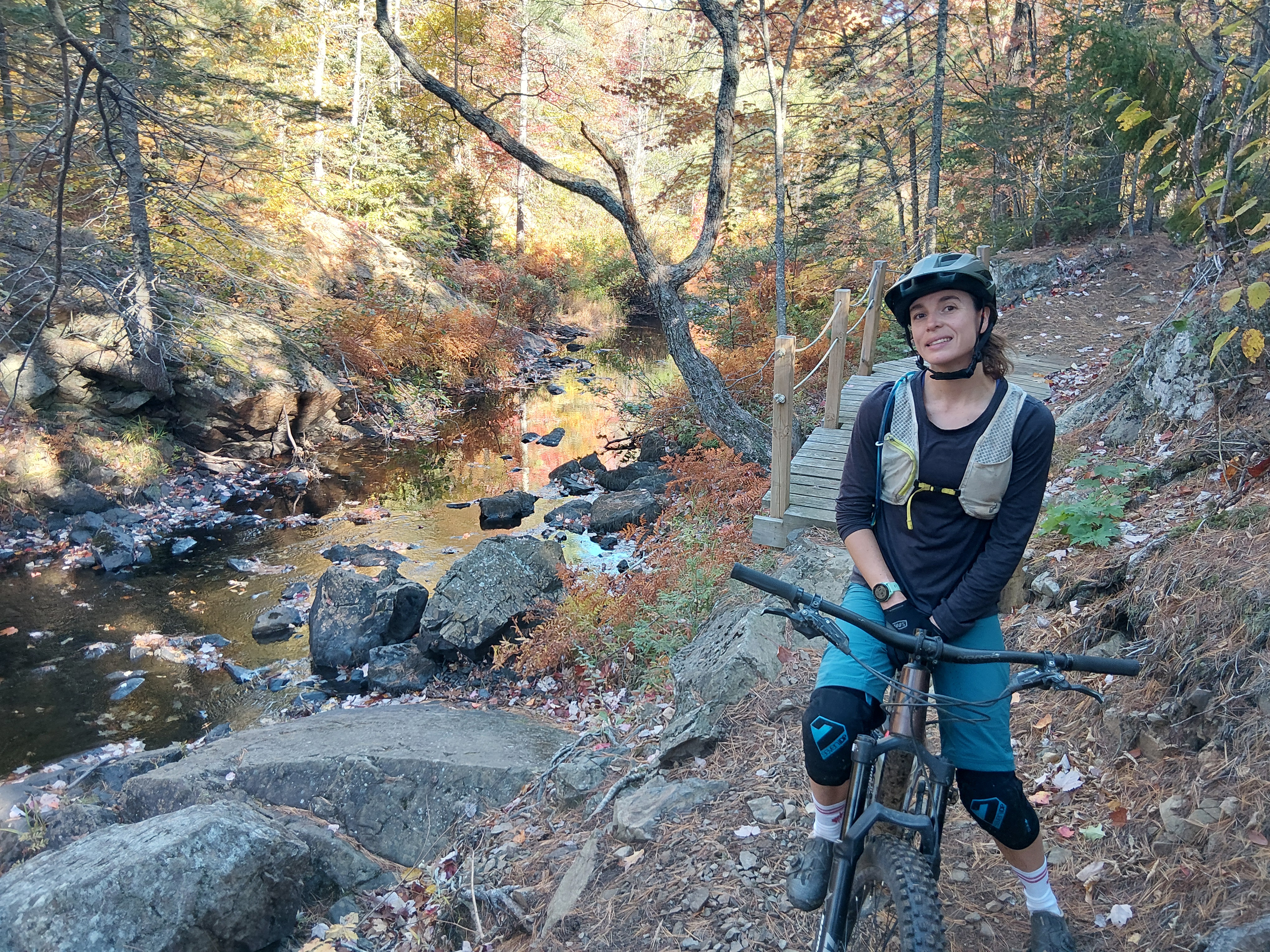
The next day, we got the bikes ready and then headed out to ride the Hiawatha Highlands trails. We were surprised to see several bus loads of kids in the area, who were competing at a cross-country running meet. We skirted their race course and got onto the singletrack trails. Apparently, the Soo is coined “Ontario’s BC.” In Victoria, we were used to the trails being littered with arbutus leaves and here, there was a solid layer of Maple and Oak leaves, and acorns (a.k.a., nature’s marbles). There were so many trails in the area that it was a bit of a maze getting around. We had fun on the smooth and flowy trails but liked also having the option to ride some rockier and steeper tech. In the afternoon, we did a MUCH-needed load of laundry, and I tried to get some work done.
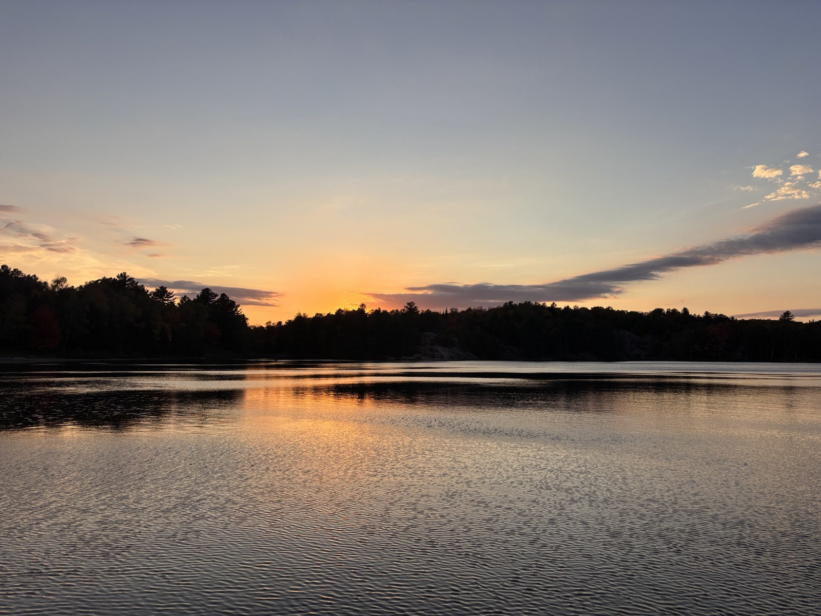
Then, we headed out to a different trail network at Farmer Lake. The local cycling club, with the help of funding, has invested $3.7 million since 2020 upgrading and building out the singletrack trails. We rode on lots of rock slabs and machine-built trails with plenty of downhill features that made the route tons of fun! Cody’s favourite trail was Mile High. It had some larger features and variety with pedally ups and fast descents. We rode for a little over two hours and saw so many beautiful leaves on the ground and a few still in the trees. Later in the afternoon we got groceries and then went out for dinner at an Irish pub called Mulligans. After on and off rain all day, the evening showed off a golden sunset with purple clouds.
Killarney Provincial Park
After a brief but torrential bout of rain in the middle of the night, we packed up our damp belongings and set out east on Highway 17. We were happy to have a tailwind most of the way and so did our fuel gage. It was a beautifully sunny fall day that highlighted the fall colours through the Algoma District. We passed through some small villages and farm towns where the soybeans had yet to be harvested.
We stopped for fuel and lunch in Espanola, a short detour, and then got back on the main highway towards our final campground of the trip – Killarney. As we got closer, the highway got bigger and busier. Cody used his famous “we’re too far south” line as signs for Toronto appeared on the roadside. We expected Killarney to be bustling since we arrived on Thanksgiving weekend. When Cody booked this stop back at the end of August, he snagged the last available site at the park. But we did not expect to meet a literal coach bus full of people in the parking lot. We collectively took deep breaths, checked in and proceeded down the laneway towards the campsites. When we pulled up to our reserved site, we quickly realized the area was not built for a 14-metre-long truck and trailer combo. After a skillful six-point turn in the confined space, we eventually got the trailer backed in. After the long driving day and skill testing parking job, we walked down to George Lake and decompressed on the rocky lakeside.
Once the sun started to set, now before 7:00 P.M., we made dinner and stoked the fire.
On our last full day in Killarney, we made hashbrowns and eggs for breakfast and plotted our final adventure of the trip. Five popular trails in the area were options, but they were at most 6k long. Then we saw the 100k La Cloche Silhouette loop, which looked appealing but was obviously far too long to do in a day. Though, the fastest known time for the route is just over nine hours!
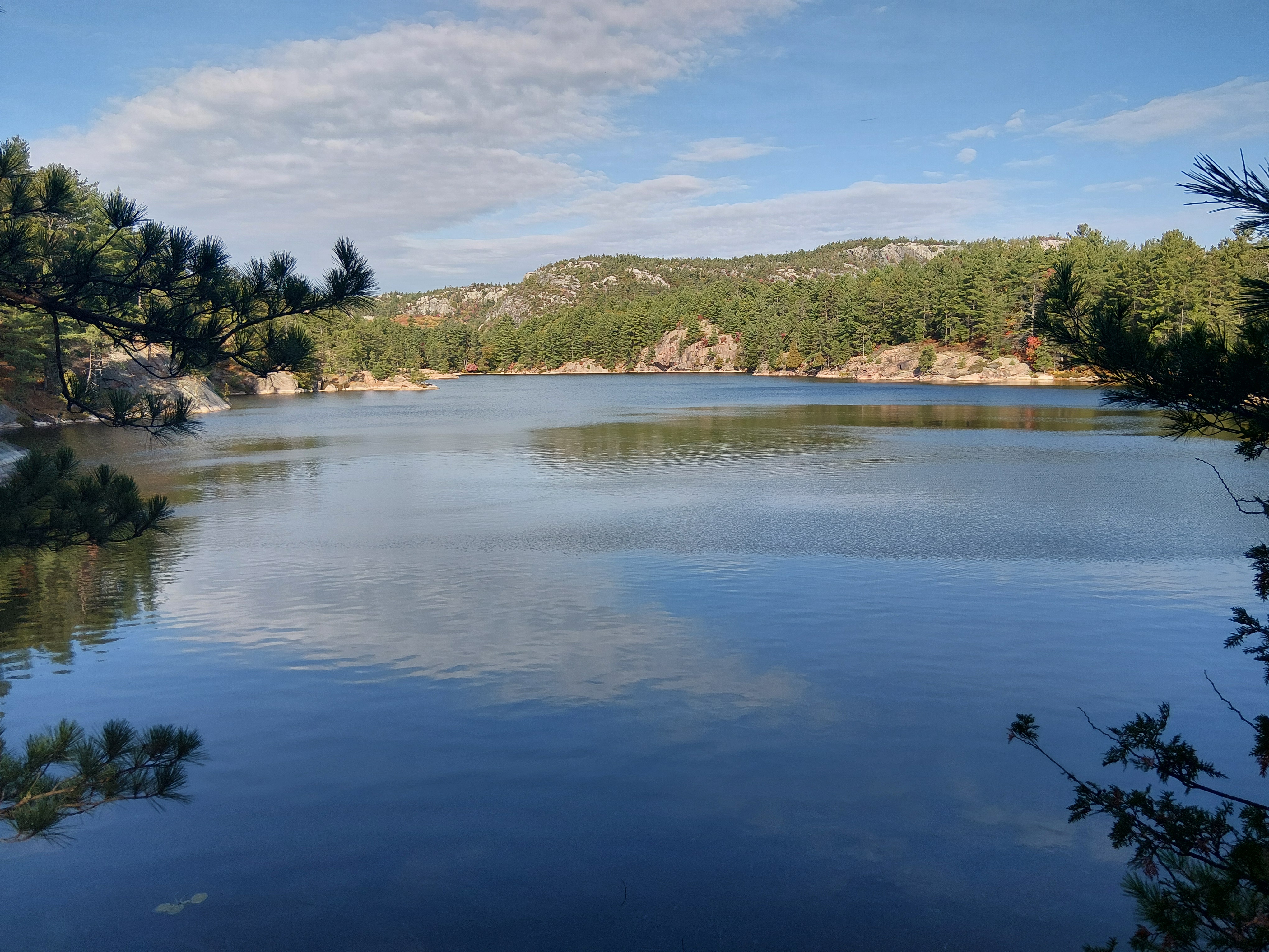
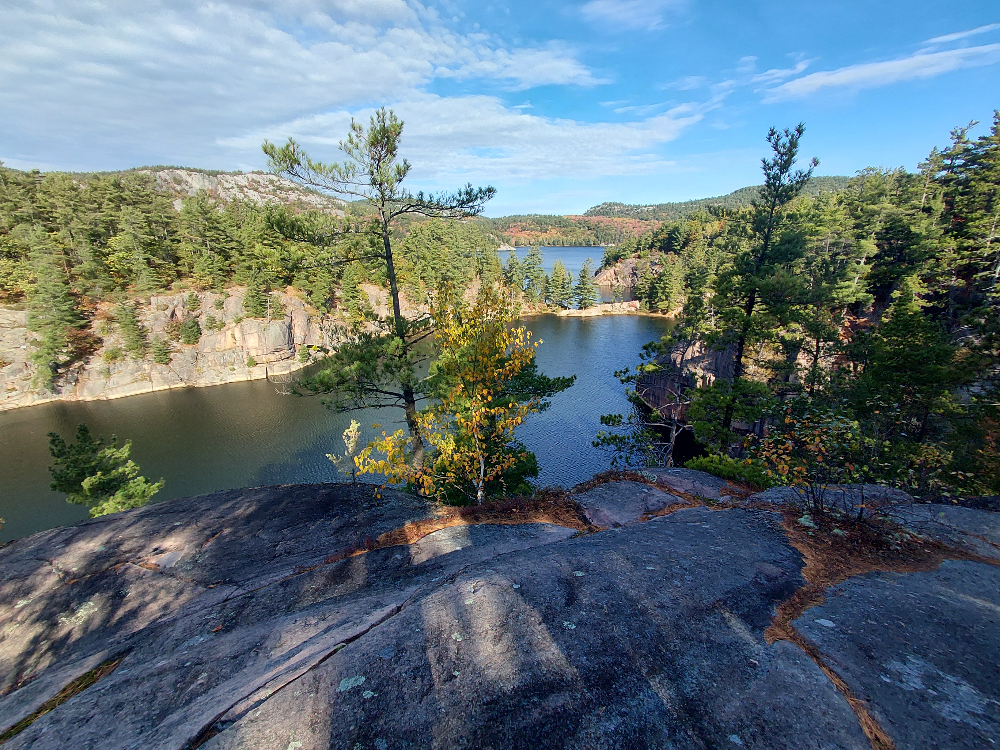
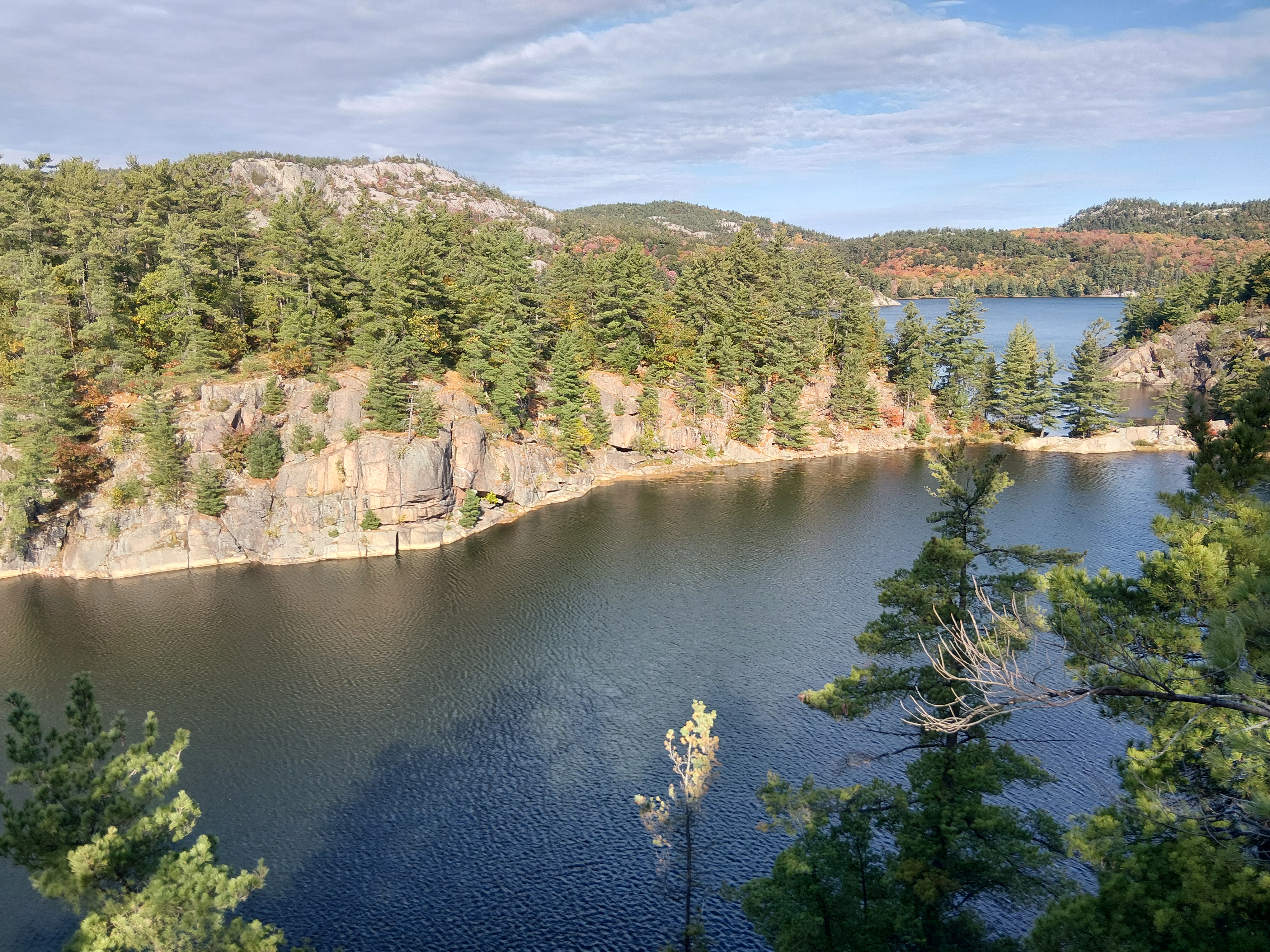
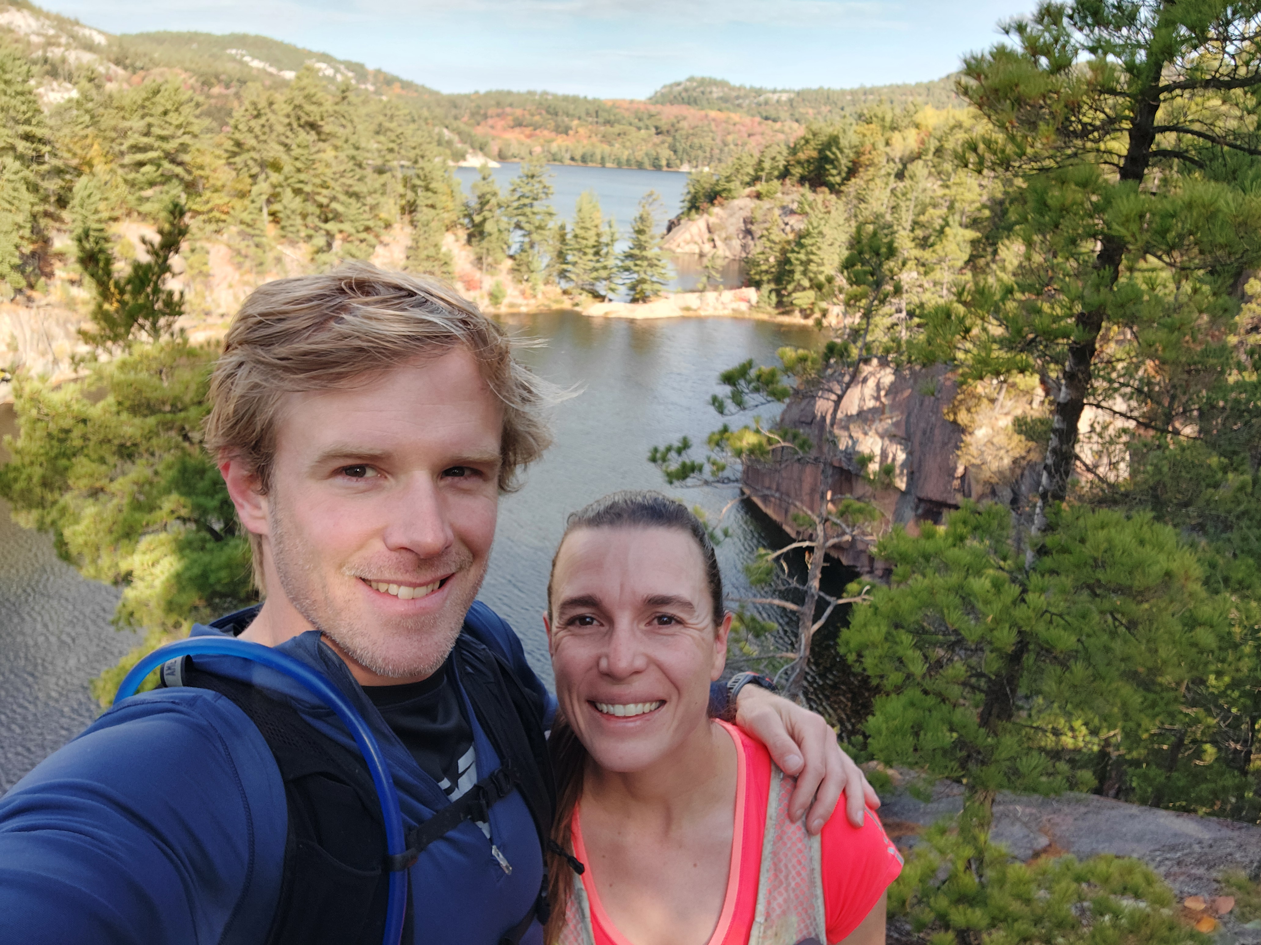
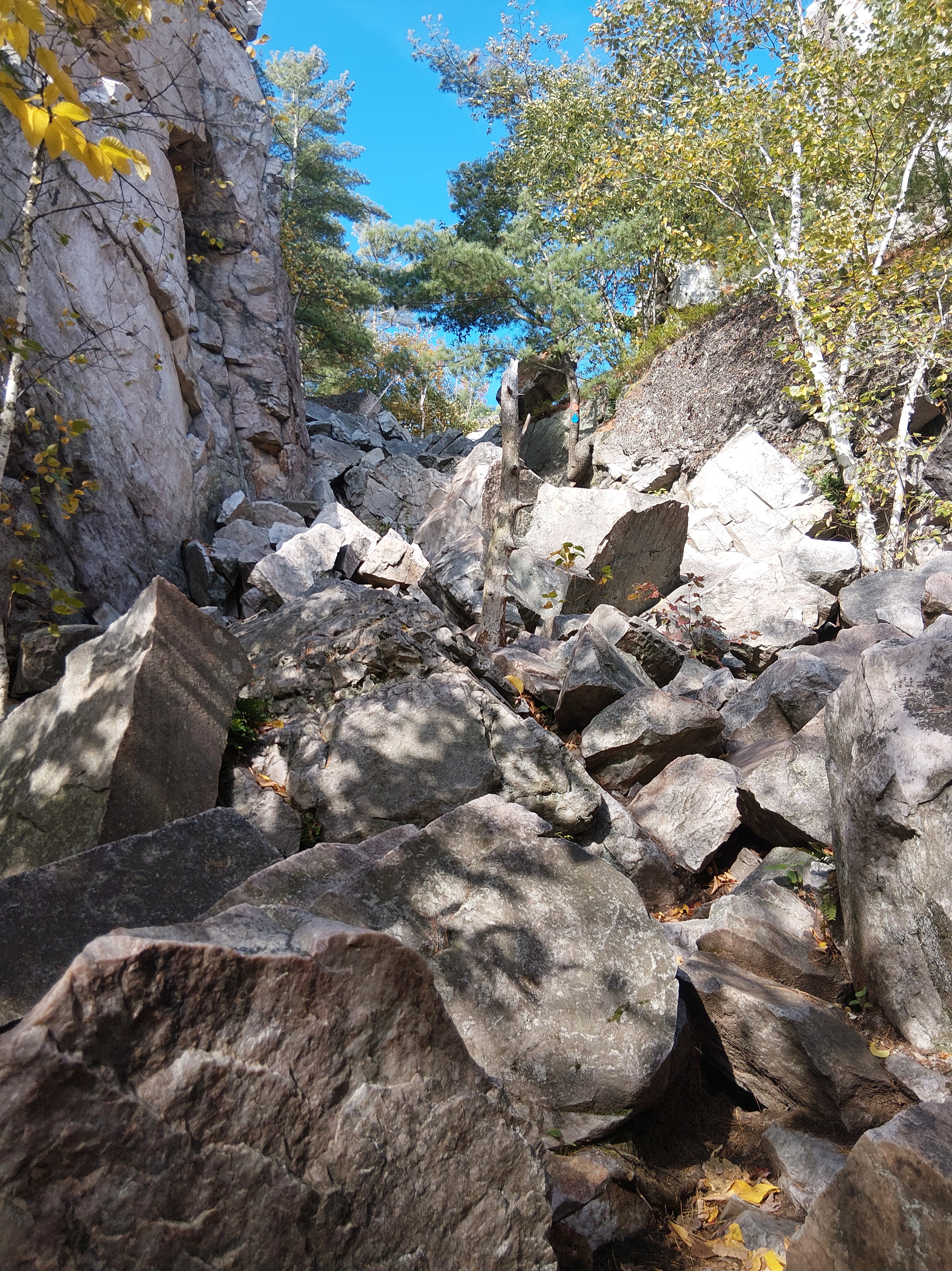
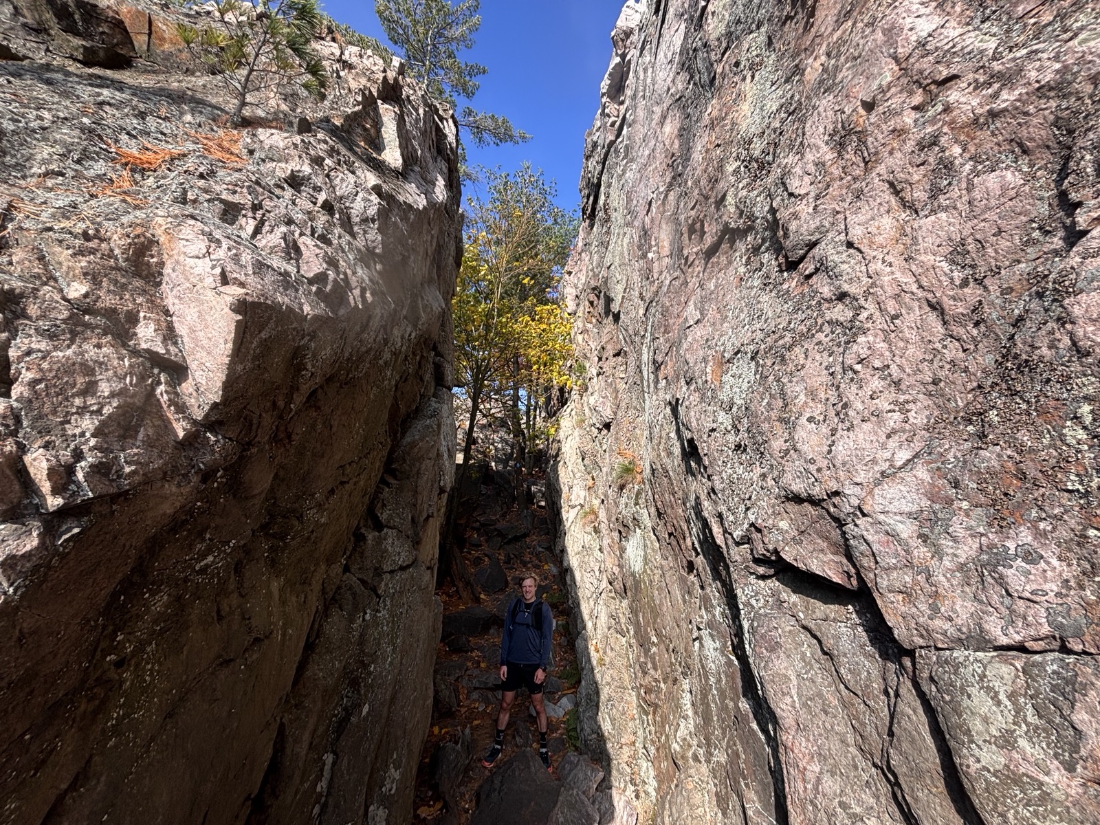
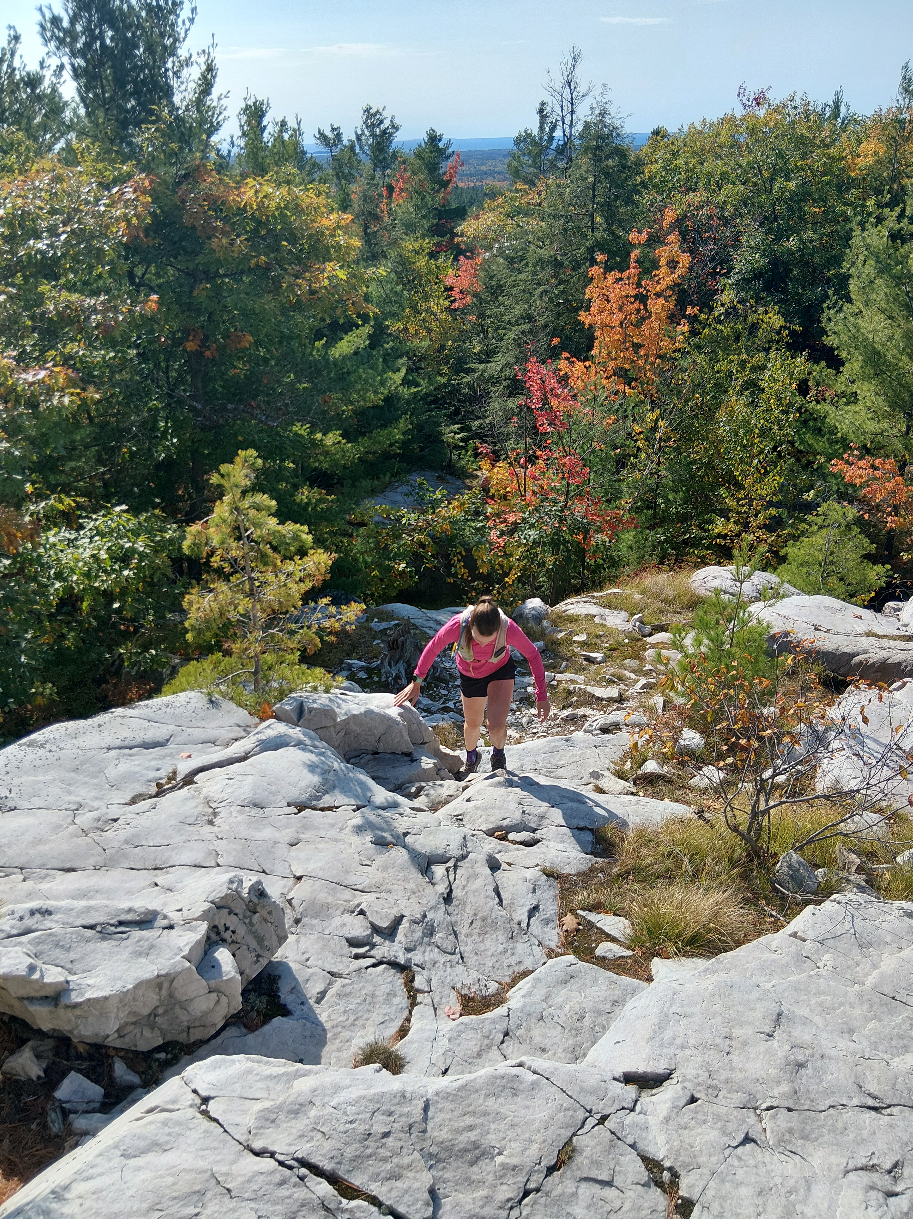
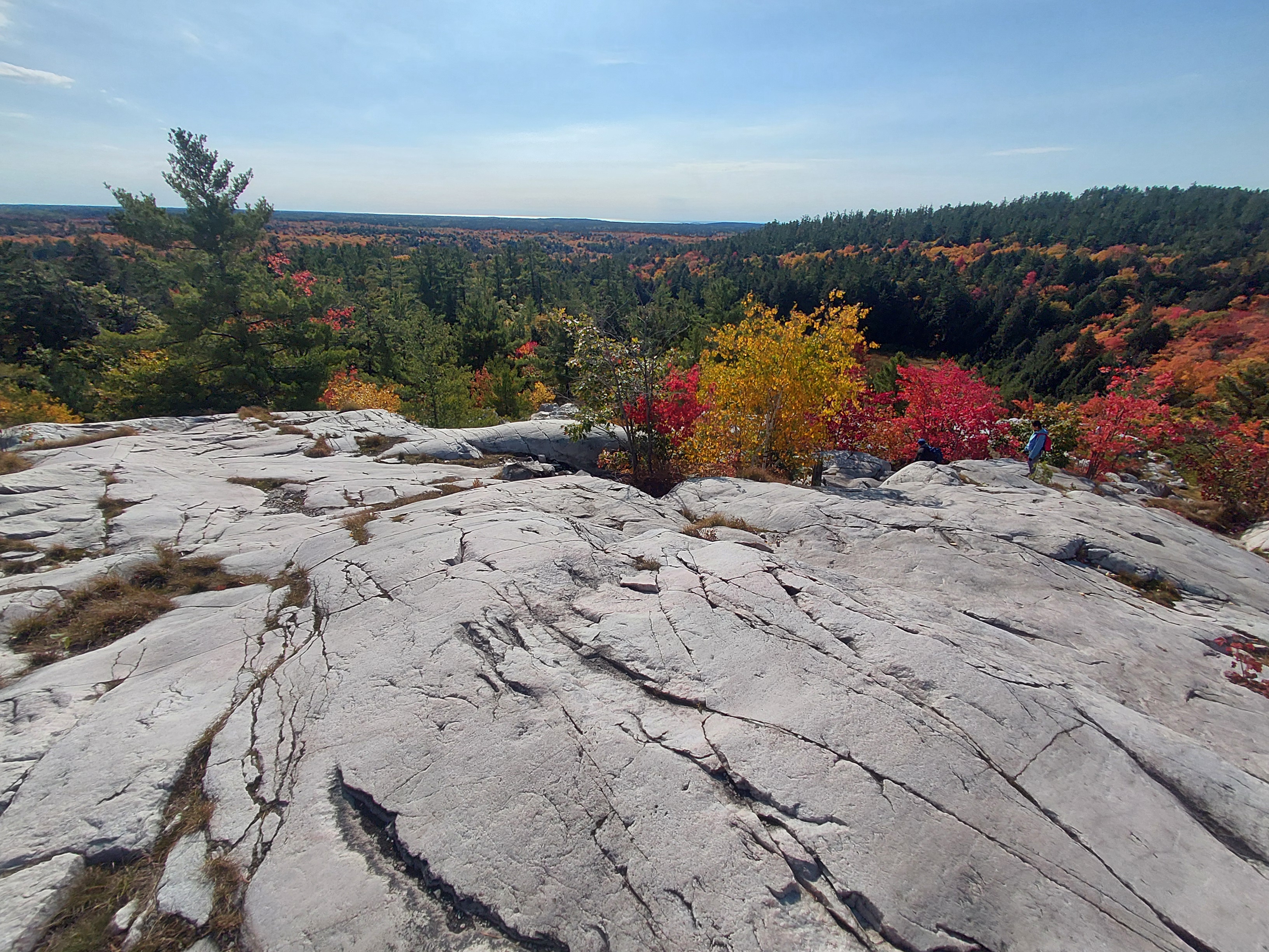
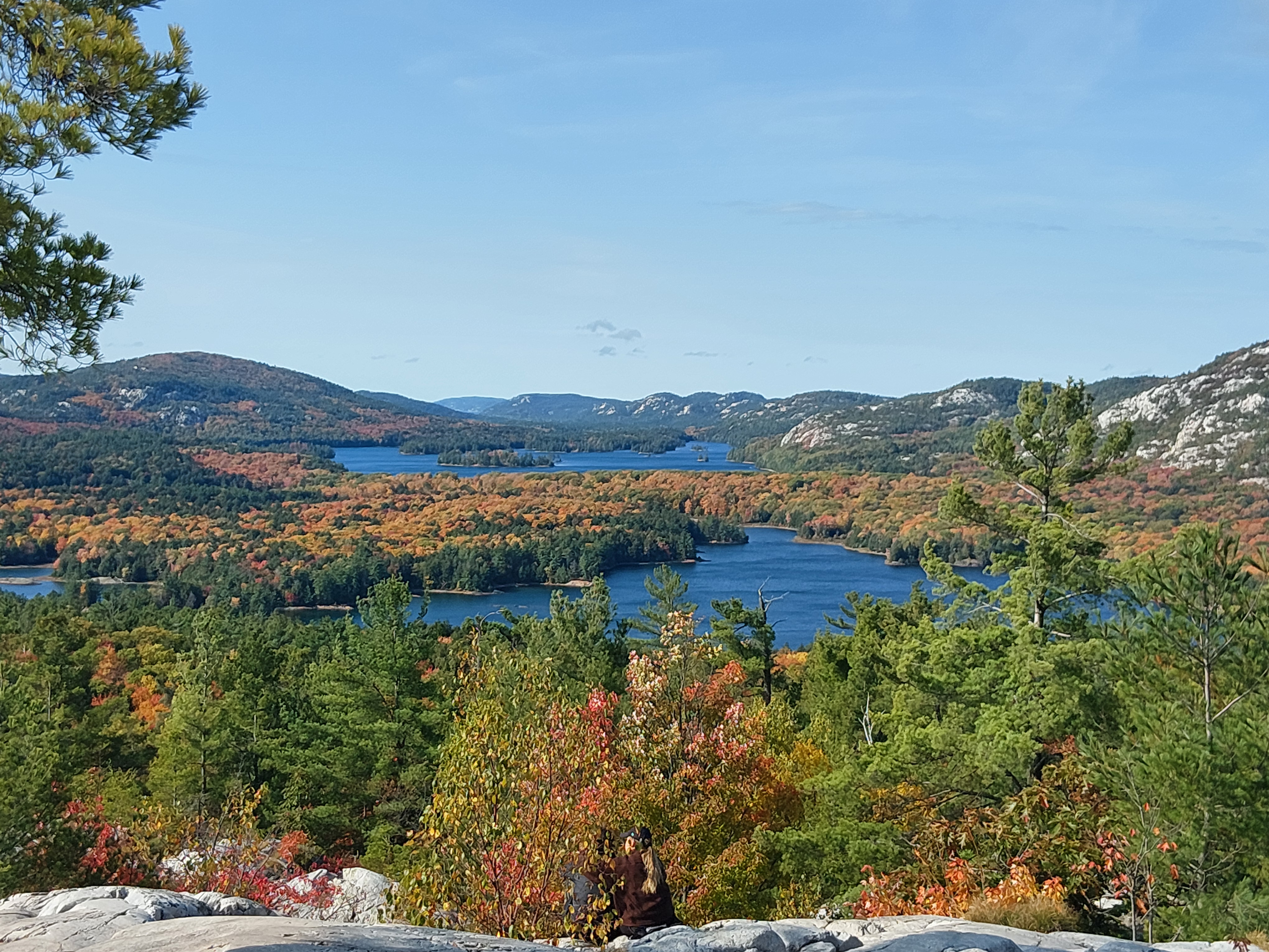
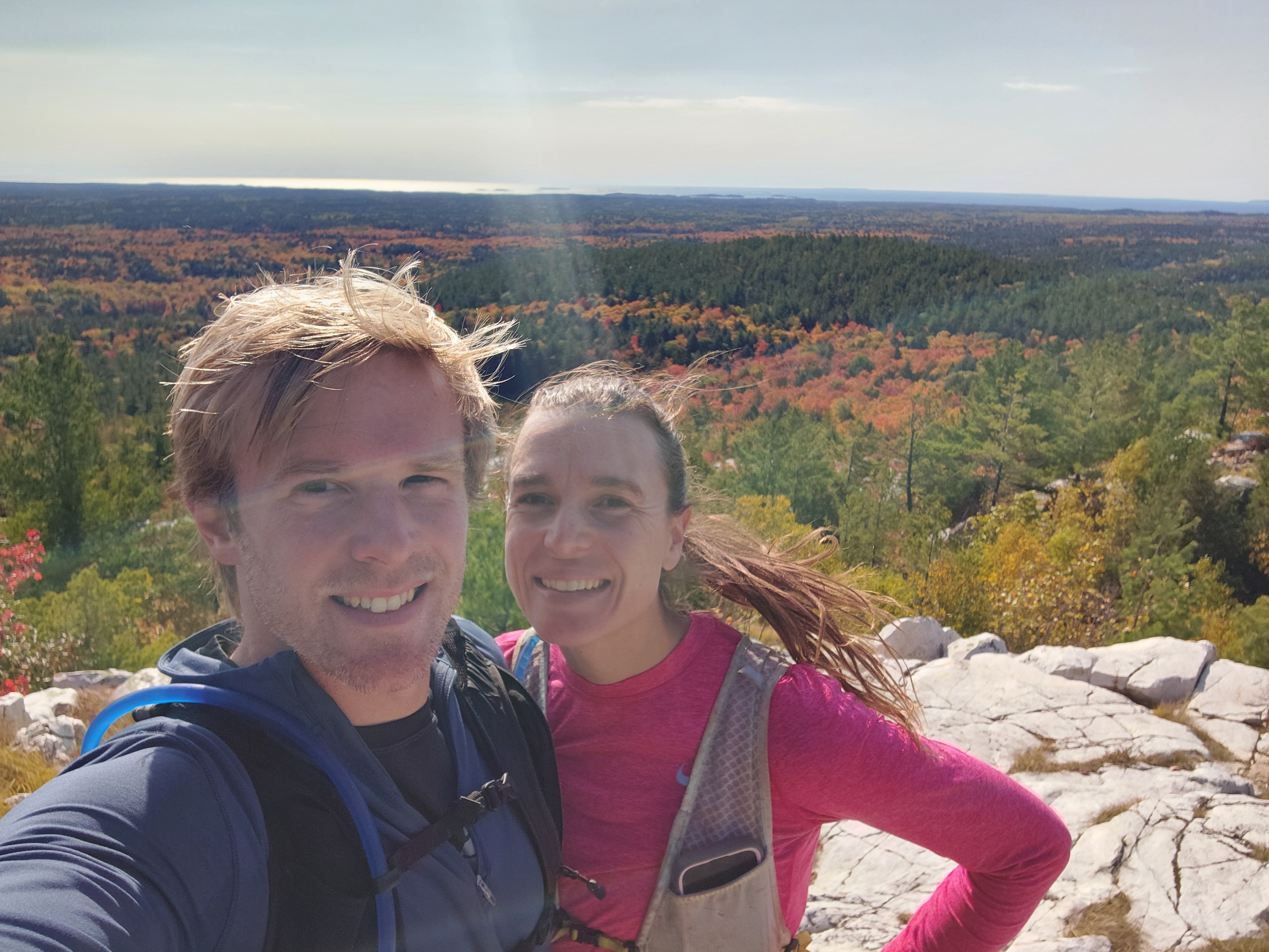
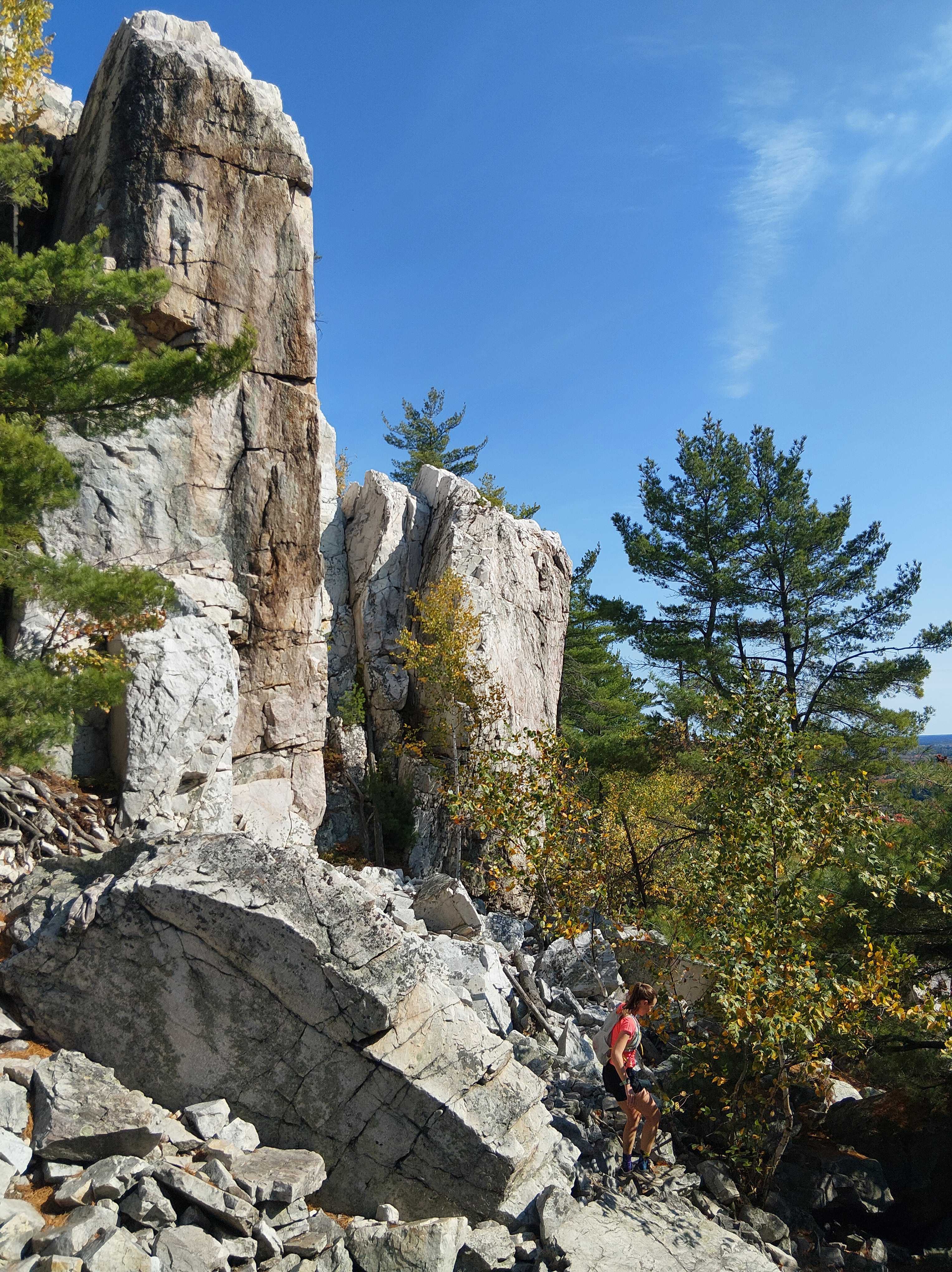
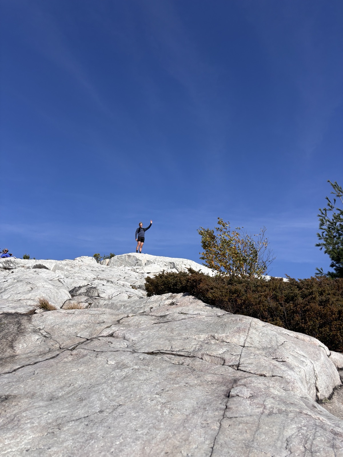
So, we decided to do a 20k out and back route to The Crack lookout. Cody, an athletic trainer from way back, taped up my compromised ankle and we set out. The trails were technical with lots of roots and rocks, but many lakes along the way offered spots to stop and admire the scenery. We eventually turned onto a double track road and began to meet more and more people coming from the convenient trailhead parking lot. Many were dressed in street clothes and looked ready for a dinner date rather than a hike in the woods. We once again acknowledged our proximity to the city and carried on. We eventually came to the trail that led to the famous Killarney “Crack.” Here, we saw more people than we’d encountered over the entirety of our trip. We climbed up the sparklingly white quartz rock slabs and ate trail mix at the top, admiring the landscape that inspired the Group of Seven. On our way back, we scoped out potential backcountry campsites to visit with a canoe.
Upon returning to our campsite, we soaked up the last bit of camping bliss. The next day we got on the road to complete our last stretch home. We arrived just in time for Thanksgiving dinner and were welcomed back with open arms and enough food to feed us for several weeks.
If you missed any of our previous adventures, you can find them below.